Situation Summary
The Dominican Republic remains at a low composite threat level (41/100 globally), with no acute security incidents meeting corroboration thresholds in the past 24–48 hours. Current conditions reflect routine operations across government, tourism, and regional governance without active national-level deterioration. Risk is concentrated geographically in three provinces—La Altagracia, La Romana, and La Vega—which together account for the majority of tracked threat signals.
Key Developments
No discrete, geolocated, and multi-source verified security incidents have emerged in the Dominican Republic during the 24–48 hour window (June 20–22, 2026) that meet threshold for inclusion in operational briefing. Web research, regional event monitoring, and OSINT feeds confirm routine conditions in tourism, governance, and regional CARICOM-related activity, with no corroborated reports of civil unrest, major crime spikes, infrastructure failures, or travel warnings. A single unconfirmed reference to a beach hotel fire appears in photo carousel archives but lacks timestamping and verification necessary to classify as a current incident.
Highest-Risk Areas
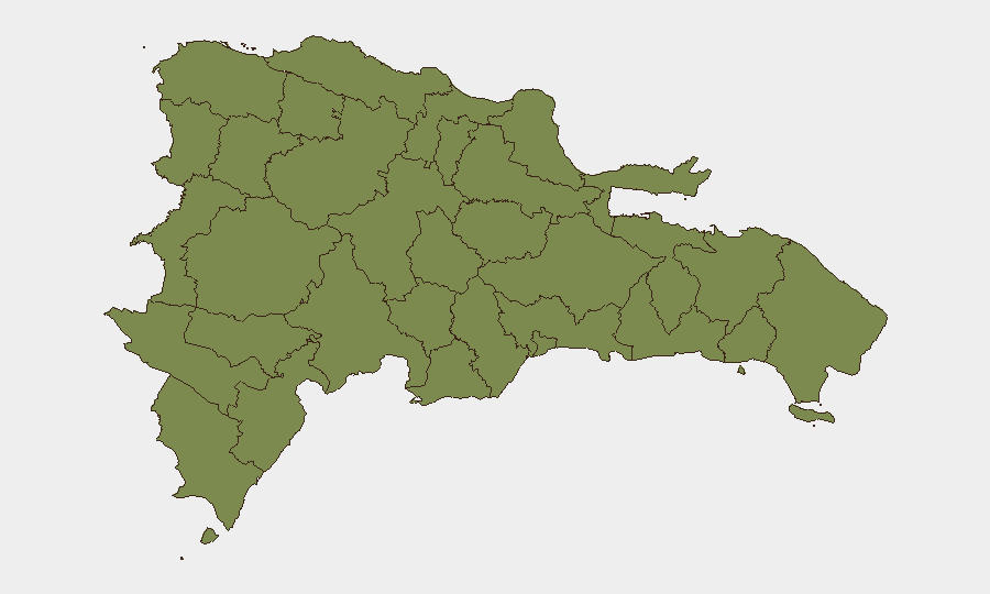
La Altagracia (composite risk 31.3) dominates the sub-national threat profile and merits priority monitoring. This easternmost province—home to Punta Cana and major tourism infrastructure—accounts for approximately 76 percent of GeoBit's tracked Dominican Republic events. La Romana (15.7) and La Vega (12.1) represent secondary concentration areas. The geographic clustering suggests that risk is predominantly tied to either tourism-related incidents, border-adjacent activity, or localized crime patterns in the eastern tourist corridor rather than distributed national instability.
How GeoBit Would Assist
Corporate security teams with personnel or assets in the Dominican Republic should deploy GeoBit's AOI Monitoring & Early Warning capability to establish persistent watch on La Altagracia, La Romana, and La Vega with real-time alerting on crime, civil unrest, or infrastructure events. OSINT fusion & corroboration (X/Twitter, Telegram, regional news aggregators, multi-language search) combined with conflict and crime search would provide early detection of emerging threats below national headlines. For operations requiring travel or supply-chain routing in eastern provinces, Routing & Network Analysis can identify alternative pathways and safer movement corridors around known risk zones.
7-Day Outlook
No indicators point to acute deterioration over the coming week. Monitoring should remain focused on La Altagracia's tourist zones and the eastern economic corridor, where seasonal tourism demand, regional governance activity, and underlying crime patterns create the primary risk surface. Hurricane season (June–November) and routine border dynamics merit standard seasonal preparedness, but current signals suggest stability within the 12-month baseline.
Highest-Risk Areas — Ranked
| # | State / Region | Risk |
|---|---|---|
| 1 | La Altagracia | 31.3 |
| 2 | La Romana | 15.7 |
| 3 | La Vega | 12.1 |
| 4 | El Seibo | 9.1 |
| 5 | Barahona | 1.9 |
| 6 | Monte Cristi | 1.3 |
| 7 | Dajabón | 1.3 |
| 8 | Santiago Rodríguez | 1.3 |
| 9 | Valverde | 1.3 |
| 10 | Puerto Plata | 1.3 |
| 11 | Santiago | 1.3 |
| 12 | Espaillat | 1.3 |
Sources
Previous Daily Briefs
A new Dominican Republic brief is written every day — each with its own risk map and downloadable CSV. Here's the last week; use the calendar to go further back.
📅 Browse every day by calendar →
Highlighted days have a brief. Tap a day for that day's map & analysis, or “csv” for that day's dataset ($5).