Situation Summary
Indonesia maintains a moderate composite threat profile (rank #51 globally, score 38) with 400 tracked security events, but sub-national variation is substantial. West Java dominates risk rankings (56.9), followed by Jakarta (45.8) and East Java (39.9), driven by concurrent signals spanning political instability, criminal activity, judiciary threats, and property seizures. The 27 June security environment reflects simultaneous pressure across governance, law enforcement, and commercial sectors, with escalation indicators present in multiple domains.
Key Developments
Recent event signals (24–26 June) include:
- Judiciary threat (26 June): Threat issued against a judge; specific location and context require corroboration from Indonesian police (Polri) and court authority statements.
- Presidential detention signal (26 June): Arrest/detain event logged involving the President; severity and status unknown without official confirmation from Presidential Palace or national media.
- Property seizure/damage (26 June): Company asset seized or damaged; sector and location unconfirmed; cross-check with commercial chambers and provincial authorities (BPBD, Polda).
- Political/criminal friction (26 June): Public statements involving criminal actors and political figures; governance legitimacy concerns; requires national media verification (Kompas, Detik, Jakarta Post).
- Health ministry statement (26 June): Public statement by Ministry of Health; subject and implication unclear.
- Police action (24 June): Police arrest/detain of an actor in unspecified location; requires Polri and provincial police (Polda) confirmation.
- Aceh–Indonesia political tension (24 June): Public statement signalling Aceh–Jakarta friction; geopolitical/autonomy dimension; monitor Acehnese media and national political outlets.
Caveat: Event signals above are derived from GeoBit's event taxonomy. Confirmed details, casualty counts, and operational context require live cross-check against Indonesian national and provincial news, police statements, and government advisories published within the last 24 hours.
Highest-Risk Areas
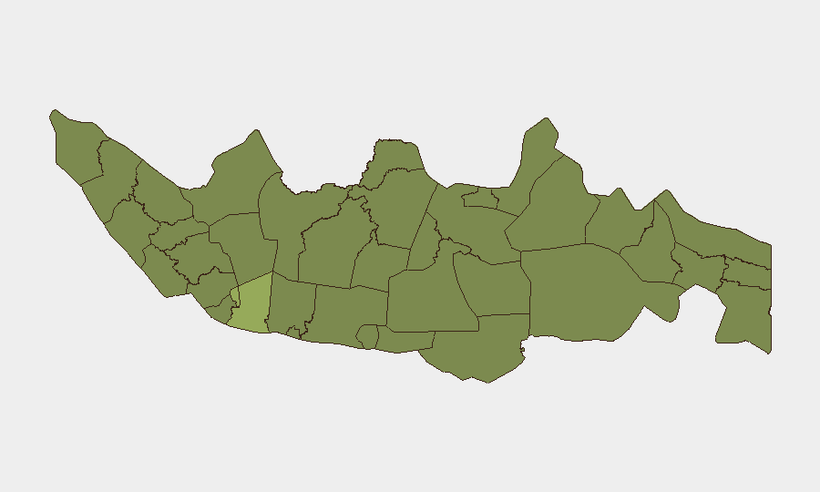
West Java (56.9) and Jakarta (45.8) together account for the largest share of tracked incidents and reflect Indonesia's urban–industrial concentration and political capital density. East Java (39.9) and South Sulawesi (35.4) show secondary elevation, likely driven by inter-group conflict, organized crime, and separatist pressure in maritime zones. North Sumatra, Riau, Central Java, and Banten cluster in the 29–33 range, indicating diffuse but persistent criminal and communal tensions. Aceh (28.8) remains a historic flashpoint for autonomy disputes and occasional violence. Corporate and expatriate presence is heaviest in Jakarta and West Java; supply-chain and infrastructure assets span all top-tier provinces.
How GeoBit Would Assist
AOI Monitoring & Early Warning with persistent watch on West Java, Jakarta, and East Java would flag escalation signals in real time (arrests, threats, property seizures). Intel Sweep and multi-language OSINT (Indonesian media, Polri social channels, Telegram networks) would corroborate event signals and extract operational detail (location, perpetrator, targets). Risk & Threat Assessment modules would model second- and third-order effects (supply disruption, expatriate movement, judicial/governance instability) to inform duty-of-care posture and travel/movement restrictions for personnel and assets.
7-Day Outlook
Political and judicial stress signals suggest elevated short-term volatility in Jakarta and West Java through early July. Criminal property seizure and Aceh–Jakarta friction may cascade into protest activity or enforcement action. Monitor Indonesian media, provincial police channels, and foreign ministry advisories daily; adjust movement, facility security, and contingency planning based on 24-hour event confirmation and official government guidance.
Highest-Risk Areas — Ranked
| # | State / Region | Risk |
|---|---|---|
| 1 | West Java | 56.9 |
| 2 | Special capital Region of Jakarta | 45.8 |
| 3 | East Java | 39.9 |
| 4 | South Sulawesi | 35.4 |
| 5 | North Sumatra | 33.4 |
| 6 | Riau | 32.7 |
| 7 | Central Java | 31.4 |
| 8 | Banten | 29.5 |
| 9 | Aceh | 28.8 |
| 10 | West Kalimantan | 28.5 |
| 11 | West Sumatra | 28.2 |
| 12 | Special Region of Yogyakarta | 28.2 |
Sources
Previous Daily Briefs
A new Indonesia brief is written every day — each with its own risk map and downloadable CSV. Here's the last week; use the calendar to go further back.
📅 Browse every day by calendar →
Highlighted days have a brief. Tap a day for that day's map & analysis, or “csv” for that day's dataset ($5).