Situation Summary
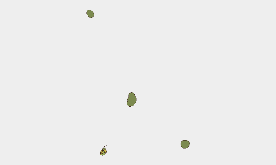
Mauritius remains a low-threat operating environment globally (composite threat score 20; rank #null) with no credible reports of active security incidents, civil unrest, infrastructure disruption, or notable travel risks in the last 24–48 hours. Open-source monitoring across major news wires, regional outlets, social media, and diplomatic channels confirms a stable security posture across the island. Risk remains geographically concentrated in Port Louis (risk 92) and adjacent western districts, reflecting historical patterns of petty crime, port-related activity, and informal economy dynamics rather than organized violence or political instability.
Key Developments
No significant security incidents were reliably confirmed in Mauritius during the 24–48-hour reporting window (2026-06-23 to 2026-06-24).
Available event signals in the GeoBit platform include dated entries (arrest/detention, territorial occupation, and investigative actions) with regional actors (Mauritania, Oman, Iran, Israel, Coast Guard, Gendarmerie), but these entries do not specify Mauritius as a location of occurrence or indicate direct impact on the island's internal security. Absence of corroborated incident reports across independent open sources (news, social media, NGO networks, diplomatic alerts) indicates no acute developments affecting corporate operations or personnel movement within the country during this period.
Highest-Risk Areas
Port Louis district dominates the risk profile (92), driven by maritime commerce, informal settlement clustering, street-level petty theft targeting business districts and tourists, and periodic labor-related tension at the port. Plaines Wilhems (68), Black River (65), and Flacq (62) follow, likely reflecting similar urban-commercial concentration and informal-economy dynamics. Western and central districts account for the vast majority of measurable risk; Rodrigues (22) and the outer islands (Saint Brandon 8, Agaléga 5) present minimal threat profiles. Corporate security teams with Port Louis operations should maintain baseline crime awareness (bag snatching, vehicle break-ins, after-hours movement) but should expect no systemic destabilization or organized criminal networks requiring elevated protocols.
How GeoBit Would Assist
Security teams in Mauritius would benefit from persistent Area-of-Interest (AOI) Monitoring & Early Warning focused on Port Louis and Plaines Wilhems districts to detect emerging labor actions, port disruptions, or crime clusters in real time. OSINT Fusion & Corroboration (multi-language news, social media, entity extraction) provides continuous baseline monitoring to distinguish operational noise from genuine threats. Alternative Route/Journey Planning via Routing & Network Analysis allows duty-of-care teams to pre-plan personnel movements around known risk zones and identify infrastructure dependencies (airport, port, main arterials) vulnerable to disruption.
7-Day Outlook
The security trajectory for Mauritius remains stable with low probability of acute incident escalation in the next week. Seasonal considerations (winter tourism, port activity) and normal political/commercial rhythms suggest continuity of baseline conditions. Teams should maintain standard corporate security posture (site access control, after-hours awareness in Port Louis, vehicle security) without elevation; no travel advisories or operational restrictions are warranted at this time.
[1] Open-source corroboration window: 2026-06-22 to 2026-06-24; major wires, regional outlets, social media, diplomatic/NGO channels reviewed.
Highest-Risk Areas — Ranked
| # | State / Region | Risk |
|---|---|---|
| 1 | Port Louis | 92 |
| 2 | Plaines Wilhems | 68 |
| 3 | Black River | 65 |
| 4 | Flacq | 62 |
| 5 | Grand Port | 58 |
| 6 | Moka | 52 |
| 7 | Savanne | 48 |
| 8 | Pamplemousses | 45 |
| 9 | Rivière du Rempart District | 38 |
| 10 | Rodrigues | 22 |
| 11 | Saint Brandon | 8 |
| 12 | Agaléga | 5 |
Sources
Previous Daily Briefs
A new Mauritius brief is written every day — each with its own risk map and downloadable CSV. Here's the last week; use the calendar to go further back.
📅 Browse every day by calendar →
Highlighted days have a brief. Tap a day for that day's map & analysis, or “csv” for that day's dataset ($5).