Situation Summary
Antigua and Barbuda remains a low-threat jurisdiction (global rank #187, composite score 3) with no tracked security incidents in the current window. The country is experiencing temporary, planned security disruptions tied to Commonwealth Heads of Government Meeting (CHOGM) preparations rather than organic instability. Antigua island concentrates the majority of assessed risk (score 72), driven by population density, commercial activity, and the concentration of government and diplomatic infrastructure in St. John's. Overall trajectory remains stable, with near-term risk elevation limited to exercise-related traffic and access restrictions.
Key Developments
- St. John's / Sir George Walter Highway, Sir Sydney Walling Highway, Old Parham Road, Friars Hill Road — 2026-07-08: National authorities launched Exercise STRONGHOLD, a 3-day security drill, triggering temporary road closures and convoy movements across major island corridors as part of CHOGM readiness testing.
- St. John's central security zone (Newgate Street, New Street, Parliament Drive, Corn Alley) — 2026-07-08: Vehicular access was suspended in a restricted perimeter during the exercise to simulate controlled ingress/egress protocols for high-level diplomatic visits.
- Northern routes near American University of Antigua and adjoining hotels — 2026-07-08: Traffic diversions were implemented on corridors serving the university and hospitality sector as part of the exercise security movement plan.
- Countrywide coordination — 2026-07-08 to 2026-07-10: Exercise STRONGHOLD encompasses inter-agency emergency response, traffic management, and security procedure validation across all three constituent territories (Antigua, Barbuda, Redonda).
- No new crime, unrest, or infrastructure incidents: Web research confirmed no independent, corroborated security, crime, civil unrest, or critical infrastructure reports in the last 24–48 hours outside the planned exercise activity.
Highest-Risk Areas
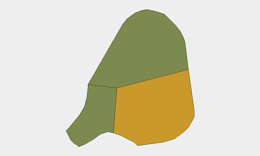
Antigua island (risk score 72) dominates the country's threat landscape, reflecting the concentration of St. John's' capital functions, tourism, port operations, and residential density. Barbuda (score 18) and Redonda (score 8) present significantly lower risk profiles, consistent with smaller populations and limited commercial/diplomatic infrastructure. The exercise-driven activity in St. John's and northern corridors near tourism nodes may temporarily elevate local congestion and access delays, but does not indicate underlying instability. Risk concentration in Antigua is structural rather than acute.
How GeoBit Would Assist
Security teams with personnel or assets in Antigua and Barbuda would employ AOI Monitoring & Early Warning to track persistent activity in St. John's and port/airport zones, with real-time alerting on protest, accident, or infrastructure disruption. Routing & Network Analysis capabilities would support contingency journey planning around the ongoing exercise-driven closures and allow rapid re-routing if unplanned incidents occur. Intel Sweep and multi-language OSINT would maintain continuous watch on social media, local news, and radio signals for any escalation in crime, civil order, or political developments outside current forecast.
7-Day Outlook
Exercise STRONGHOLD is scheduled to conclude 2026-07-10; traffic and access restrictions are expected to normalize by end of week. No foreseeable political, security, or civil disturbance drivers are present. The country will enter the formal CHOGM hosting period with baseline low threat and heightened but orderly official security postures.
Highest-Risk Areas — Ranked
| # | State / Region | Risk |
|---|---|---|
| 1 | Antigua | 72 |
| 2 | Barbuda | 18 |
| 3 | Redonda | 8 |
Sources
Previous Daily Briefs
A new Antigua and Barbuda brief is written every day — each with its own risk map and downloadable CSV. Here's the last week; use the calendar to go further back.
📅 Browse every day by calendar →
Highlighted days have a brief. Tap a day for that day's map & analysis, or “csv” for that day's dataset ($5).
Atlas — our AI intelligence desk — emails them this snapshot personally. Nothing else, no list.