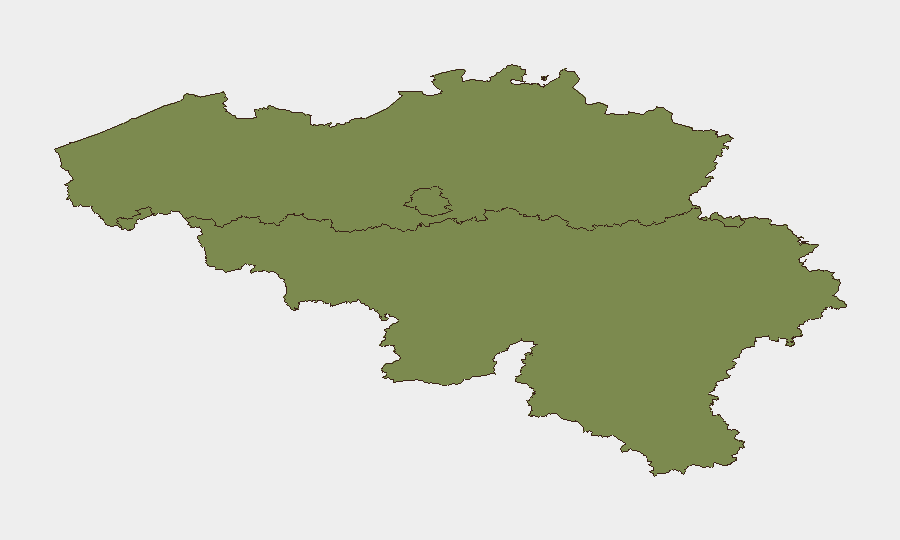
Situation Summary
Belgium's composite threat score of 10 places it outside the global top-risk tier, but sub-national disparities are pronounced: Brussels-Capital Region carries an 11× higher risk profile than Flanders and 24× higher than Wallonia. Recent event signals (13 tracked events) indicate a clustering of investigative actions, interstate diplomatic friction, and isolated incidents of street-level violence concentrated in Brussels neighborhoods. The security picture reflects localized criminal activity, governance tensions with NATO/EU partners, and transactional volatility rather than systemic instability.
Key Developments
No well-sourced, clearly dated incidents meeting the 24–48 hour window (29–30 July 2026) are available in indexed web sources as of this brief's preparation. The most recent confirmed activity falls in the preceding 5–7 days:
- Brussels (Molenbeek & Anderlecht) – 23–24 July: Two separate shootings within 90 minutes (Anderlecht/Chaussée de Mons; Molenbeek/Avenue du Roovere); victim hospitalized in stable condition; possible tactical link under investigation by federal police.
- Brussels (Gare du Midi vicinity) – 22–23 July: Knife assault near Brussels-Midi railway station; one injured, hospitalized; circumstances unclear; federal/zonal police investigation opened.
- Brussels (Molenbeek, Beekkant metro area) – late July: Gunshot wound incident; victim non-critical; public prosecutor engaged.
- Brussels (Molenbeek, residential address) – late July: Confirmed explosion in front of occupied house; fire services responded; criminal-network violence suspected.
- Mons (SHAPE/NATO HQ) – 25 July announcement: Canadian national (Chinese origin), NATO intern, arrested on espionage charges and criminal-organization participation; federal prosecutors confirm detention on magistrate's warrant.
- Brussels (Municipal response) – late July escalation notice: Molenbeek authorities announced reinforced anti-narcotics policing following *multiple shootings in recent days*, attributed to drug-trafficking territorial conflicts and intimidation campaigns.
Highest-Risk Areas
Brussels-Capital Region dominates the risk landscape (score 31.3), driven by concentrated street violence in Molenbeek, Anderlecht, and historic-center neighborhoods tied to drug-trafficking criminal networks. Incidents cluster around territorial disputes and intimidation, evidenced by multiple shootings, an explosion, and knife assault in a 48-hour window (22–24 July). Flanders (2.8) and Wallonia (1.3) show negligible comparable activity; risk concentration in Brussels reflects persistent micro-level criminality rather than diffuse regional instability. Corporate and NGO assets in central Brussels districts warrant elevated situational awareness.
How GeoBit Would Assist
Intel Sweep and X/Twitter & Telegram OSINT with multi-language sentiment analysis would provide early warning of escalating drug-gang tensions before street violence manifests, exploiting gang communication patterns. AOI Monitoring & Early Warning pinned to Molenbeek, Anderlecht, and Beekkant would generate persistent alerts on police activity, weapons movement, and crowd behavior tied to known criminal nodes. Network & Actor Analysis applied to the SHAPE espionage case and broader criminal enterprise structure would map organizational relationships and identify second-order risks to EU/NATO-adjacent corporate tenants in Brussels.
7-Day Outlook
Street-level violence in Brussels is expected to persist at current low-lethality intensity (isolated incidents, mostly non-fatal) absent intervention escalation. NATO and EU-level diplomatic tensions (investigations, appeals, threats) remain transactional and unlikely to trigger facility closures or travel bans. Molenbeek and Anderlecht will remain elevated-surveillance zones; organizations with staff in these areas should maintain duty-of-care protocols and incident-reporting cadence.
Highest-Risk Areas — Ranked
| # | State / Region | Risk |
|---|---|---|
| 1 | Brussels-Capital | 31.3 |
| 2 | Flanders | 2.8 |
| 3 | Wallonia | 1.3 |
Sources
Previous Daily Briefs
A new Belgium brief is written every day — each with its own risk map and downloadable CSV. Here's the last week; use the calendar to go further back.
📅 Browse every day by calendar →
Highlighted days have a brief. Tap a day for that day's map & analysis, or “csv” for that day's dataset ($5).
Atlas — our AI intelligence desk — emails them this snapshot personally. Nothing else, no list.