Situation Summary
Cambodia remains a low-to-moderate security environment at the national level (rank #105 globally, composite score 11), with localized volatility concentrated in northern and western border regions. No discrete security incidents were confirmed in the last 24–48 hours across independent sources. The overall threat profile is stable, though sub-national risk clustering warrants targeted monitoring in frontier provinces.
Key Developments
No confirmed security, civil unrest, crime, infrastructure, or travel-risk events have been reliably sourced to July 2–3, 2026, with cross-referenced specificity and clear dating. Current web intelligence does not support attribution of discrete incidents to the immediate reporting window. Ongoing baseline monitoring of border areas, police operations, and urban centers shows no material escalation as of this brief.
Highest-Risk Areas
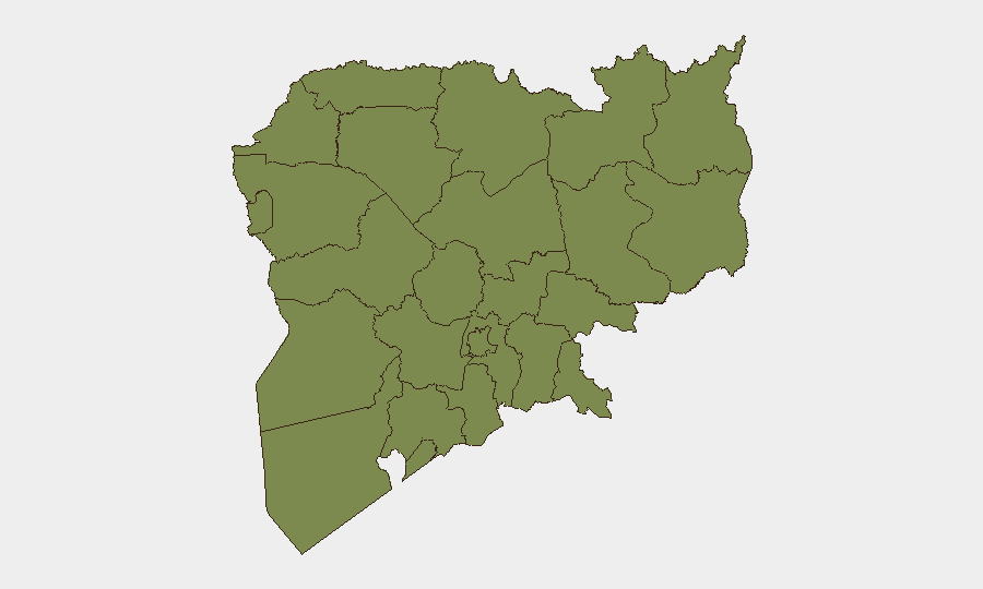
Kampong Thom province dominates the sub-national ranking (risk 31.8), significantly outpacing all other regions and warranting concentrated attention. This disparity reflects historical exposure to border-adjacent activity and cross-border movement corridors with Vietnam; the specific drivers—whether criminal logistics, trafficking, or resource competition—require continuous geospatial and event-pattern analysis to clarify. Bantey Meanchey (11.7) maintains secondary risk, consistent with its position along the Thailand border and known transit routes. All other provinces cluster at or near 1.8, indicating a sharp concentration of measurable risk in the north and northwest rather than diffuse national exposure.
How GeoBit Would Assist
Security teams operating in Cambodia should prioritize AOI (Area-of-Interest) Monitoring & Early Warning on Kampong Thom and Bantey Meanchey to detect trafficking, unauthorized border crossing, and law-enforcement activity in real time. GIS & Spatial Analysis coupled with Network & Actor Analysis can map criminal and illicit supply chains linking these provinces to neighboring states and major urban markets (Phnom Penh, Sihanoukville). Intel Sweep and OSINT fusion—including multi-language local outlets, X/Telegram monitoring of police and NGO networks, and cross-referencing with regional conflict and migration feeds—provides continuous early warning of emerging civil unrest, protests, or infrastructure disruption that may affect duty-of-care obligations and asset security.
7-Day Outlook
No material shift in Cambodia's security posture is anticipated over the next seven days absent external shocks (major border incident, political announcement, or large-scale protest mobilization). Routine monitoring should continue to focus on Kampong Thom and cross-border activity; summer weather patterns and ongoing regional economic activity are unlikely to drive sudden escalation. Teams with personnel or assets in provincial areas should maintain standard vigilance protocols and leverage persistent geospatial alerting to capture emerging incidents within hours of occurrence.
Highest-Risk Areas — Ranked
| # | State / Region | Risk |
|---|---|---|
| 1 | Kampong Thom | 31.8 |
| 2 | Bantey Meanchey | 11.7 |
| 3 | Koh Kong | 1.8 |
| 4 | Kampong Speu | 1.8 |
| 5 | Kandal | 1.8 |
| 6 | Prey Veng | 1.8 |
| 7 | Khaet Preah Sihanouk | 1.8 |
| 8 | Kampot | 1.8 |
| 9 | Kep | 1.8 |
| 10 | Takeo | 1.8 |
| 11 | Svay Rieng | 1.8 |
| 12 | Oddar Meanchey | 1.8 |
Sources
Previous Daily Briefs
A new Cambodia brief is written every day — each with its own risk map and downloadable CSV. Here's the last week; use the calendar to go further back.
📅 Browse every day by calendar →
Highlighted days have a brief. Tap a day for that day's map & analysis, or “csv” for that day's dataset ($5).