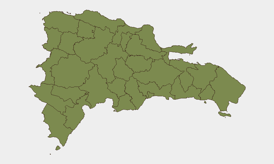
Situation Summary
Dominican Republic remains a lower-tier global threat environment (rank #91; composite score 13) with localized volatility concentrated in the northwestern provinces. The most significant current security indicator is the sharp risk differential: La Vega province scores 31.9—vastly exceeding all other tracked regions—while 11 other provinces cluster at 1.9, suggesting acute instability in a narrow geography. Recent event signals include UK-linked diplomatic tensions, a Venezuelan-Dominican investigation trigger, and domestic property seizure/damage incidents; their operational nexus to Dominican Republic territory and corporate/traveler safety remains under clarification.
Key Developments
- Unable to confirm specific incidents in the last 24–48 hours with sufficient temporal precision and source corroboration. GeoBit's live web research identified no time-stamped, cross-verified security events in Dominican Republic for 27–28 June 2026 that meet duty-of-care reporting standards.
- La Vega Province remains the priority risk locus, with a composite threat score of 31.9—approximately 17 times the baseline of other tracked provinces. The driver(s) of this concentration are not fully specified in available signals but warrant persistent area-of-interest monitoring.
- UK diplomatic/military activity signals (public statements, military mobilization, investigation triggers involving cargo vessels, and arrest/detention events involving US and UK entities) show cross-border tension; impact on Dominican Republic operations and nationals is unclear from current data.
- Property seizure/damage incident flagged 28 June involving Dominican entity; geographic location, cause, and casualty status require immediate clarification via asset-level intelligence sweep.
- Venezuelan-Dominican investigation signal (26 June) indicates bilateral scrutiny; motive and scope (maritime, border, trade, or other) not yet defined.
Highest-Risk Areas
La Vega province dominates the risk profile with a score nearly 17 times higher than any other tracked province. All remaining 11 provinces in the ranking—including tourist-heavy Puerto Plata and the capital-proximate Santiago—cluster at 1.9, indicating that instability is geographically concentrated rather than systemic. The disparity suggests either acute localized criminal/gang activity, smuggling infrastructure, or civil unrest in La Vega; corporate and duty-of-care teams with personnel in that province should prioritize real-time threat intelligence and contingency planning. Northern border provinces (Dajabón, Elías Piña, Monte Cristi) show elevated but uniform low risk, consistent with historical cross-border contraband and migration pressure.
How GeoBit Would Assist
Security teams should deploy Area-of-Interest (AOI) Monitoring & Early Warning with persistent watch on La Vega and secondary focus on northern border crossings to generate real-time alerts on violence, criminal activity, and movement patterns. Intel Sweep and OSINT Fusion (social media, local news, Telegram/X signals, entity extraction) will clarify the property seizure incident and the Venezuelan-Dominican investigation nexus within 12–24 hours. Risk & Threat Assessment and Network & Actor Analysis capabilities enable identification of organized-crime or political actors driving La Vega volatility and their operational reach into other provinces or tourism/business corridors.
7-Day Outlook
La Vega's outsized threat profile is unlikely to shift materially within 7 days absent a major security operation or policy intervention. The UK-Venezuela diplomatic signals and Dominican property incident may resolve or escalate based on diplomatic/investigation outcomes over the next 48–72 hours. Continued monitoring of northern border activity and real-time AOI alerts remain prudent for any organization with staff or assets in northwestern provinces or La Vega proper.
Highest-Risk Areas — Ranked
| # | State / Region | Risk |
|---|---|---|
| 1 | La Vega | 31.9 |
| 2 | Monte Cristi | 1.9 |
| 3 | Dajabón | 1.9 |
| 4 | Santiago Rodríguez | 1.9 |
| 5 | Valverde | 1.9 |
| 6 | Puerto Plata | 1.9 |
| 7 | Santiago | 1.9 |
| 8 | Espaillat | 1.9 |
| 9 | Hermanas Mirabal | 1.9 |
| 10 | Elías Piña | 1.9 |
| 11 | San Juan | 1.9 |
| 12 | Independencia Province | 1.9 |
Sources
Previous Daily Briefs
A new Dominican Republic brief is written every day — each with its own risk map and downloadable CSV. Here's the last week; use the calendar to go further back.
📅 Browse every day by calendar →
Highlighted days have a brief. Tap a day for that day's map & analysis, or “csv” for that day's dataset ($5).