Situation Summary
Honduras remains a low-to-moderate composite threat environment (global rank #null, composite score 21) with acute concentration of risk in Francisco Morazán department, which accounts for the majority of tracked incidents. The security picture is being shaped primarily by legislative and civil-society friction over recently enacted land and agro-industrial policy, rather than by active armed conflict or organized-crime escalation at the national level. Key infrastructure risks include flood exposure (recent event noted) and cross-border dynamics; subnational variation is extreme, with Francisco Morazán risk scoring 31.3 versus most other departments at 1.3.
Key Developments
- Tegucigalpa, Francisco Morazán — June 19, 2026: Social and peasant organizations, including PBI-Honduras, held a public rejection of the newly passed Law for the Strengthening and Protection of the Agro-industrial Sector, citing threats to land rights, environmental safeguards, prior consultation, and protest freedom.
- National Congress, Tegucigalpa — June 19, 2026: Legislators approved the agro-industrial law after civil-society opposition. Reporting indicates the measure compels accelerated public-order response to road blockades and protests, and was expanded to cover energy and tourism sectors.
- Honduras (national) — June 20–22, 2026: Multiple public statements and diplomatic messaging between Honduran authorities and foreign entities (U.S., Mississippi, Foreign Relations Committee) recorded; includes expressions of disapproval and physical-assault incidents, suggesting elevated diplomatic or consular tension.
- Honduras (national) — June 22, 2026: Two additional public statements by authorities were logged, though specific content and location require further corroboration from primary sources.
- Honduras (national) — Recent: A significant flood event was recorded in the national incident feed (event code 1103928), with potential cascading effects on transportation, power, and water-supply infrastructure.
Highest-Risk Areas
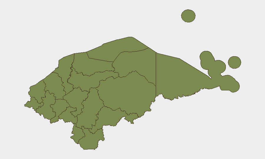
Francisco Morazán (risk 31.3) dominates the threat profile and contains the capital, Tegucigalpa, where legislative, diplomatic, and civil-unrest dynamics are concentrated. Olancho (7.3) represents a secondary concern but with substantially lower scored risk. The remaining nine departments cluster at 1.3, indicating either low incident density or effective baseline stability; however, this distribution should be interpreted cautiously, as underreporting in remote regions (e.g., Gracias a Dios, Olancho) is common. The sharp concentration in Francisco Morazán suggests that corporate and diplomatic presence in or near Tegucigalpa should prioritize monitoring of legislative calendars, protest announcements, and border-crossing status.
How GeoBit Would Assist
Security teams should deploy AOI Monitoring & Early Warning on Tegucigalpa and key transport corridors (National Congress, major roads, airports) to track protest scheduling, roadblock announcements, and police deployments in real time. OSINT fusion and multi-language social/X monitoring would capture civil-society messaging, labor-union calls to action, and government counter-messaging before events escalate. GIS & spatial analysis combined with satellite/imagery monitoring can track flood impacts on supply chains and alternative routing options, while entity and actor network analysis will clarify linkages between legislative factions, rural organizations, and potential flashpoint zones.
7-Day Outlook
The agro-industrial law passage is likely to trigger localized protest activity and possible road blockades, particularly in rural Francisco Morazán and adjacent regions, over the next 7–10 days. Diplomatic messaging indicates some consular/international-relations friction; monitor for travel advisories or temporary closure of border crossings. Flood cleanup and infrastructure assessment will compete for state attention and may delay formal government response to civil grievances.
Highest-Risk Areas — Ranked
| # | State / Region | Risk |
|---|---|---|
| 1 | Francisco Morazán | 31.3 |
| 2 | Olancho | 7.3 |
| 3 | Gracias a Dios | 3.3 |
| 4 | El Paraíso | 1.3 |
| 5 | Copán | 1.3 |
| 6 | Ocotepeque | 1.3 |
| 7 | Cortés | 1.3 |
| 8 | Yoro | 1.3 |
| 9 | Santa Bárbara | 1.3 |
| 10 | Lempira | 1.3 |
| 11 | Intibucá | 1.3 |
| 12 | Comayagua | 1.3 |
Sources
Previous Daily Briefs
A new Honduras brief is written every day — each with its own risk map and downloadable CSV. Here's the last week; use the calendar to go further back.
📅 Browse every day by calendar →
Highlighted days have a brief. Tap a day for that day's map & analysis, or “csv” for that day's dataset ($5).