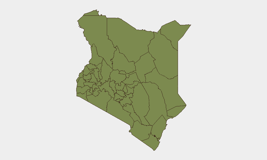
Situation Summary
Kenya's national threat ranking places it at #71 globally (composite score 18), with 73 tracked events. Political violence linked to opposition rallies and parliamentary by-elections has driven a spike in arrests and confrontations in the past 72 hours, concentrated in Kisumu and Laikipia counties. While the overall threat level remains moderate, localized instability—particularly around electoral activity and politically motivated disruptions—is elevating risk in specific urban and peri-urban zones. The trajectory suggests continued friction through the by-election cycle, with security force responses creating secondary arrest and detention events.
Key Developments
- Kisumu City (12 July, Sunday): Rival groups clashed near ACK St. Stephen's Cathedral during a *Linda Mwananchi* opposition rally. One person killed, several injured, nine motorcycles torched, one police vehicle damaged. Armed youths with bows, arrows, machetes, and clubs attempted to storm the church compound. NPS confirmed eight arrests; Siaya Governor James Orengo and Nairobi Senator Edwin Sifuna were present at the event.
- Nyahururu Town, Laikipia County (12 July, Sunday): Stone-throwing disruptions at a *Linda Mwananchi* rally caused minor injuries. Six suspects arrested. Police and opposition accounts diverge on the scale and motivation of the violence; local media linked it to broader "goon" attacks.
- Nyahururu Town (12 July, Sunday): Murang'a Governor Irungu Kang'ata's convoy reportedly attacked following a church service at AIPCA Nyahururu Cathedral. Opposition sources claim his driver suffered a chest injury from gunfire; NPS publicly denied a shooting occurred while confirming arrests for violent disturbances.
- Ol Kalou, Nyandarua County (mid-July): Parliamentary by-election campaign (held 16 July) marred by violence and voter-bribery allegations. Masked gunmen attacked a Democracy for Citizens Party campaign vehicle in the Chokereria area of nearby Gilgil. Interior CS Kipchumba Murkomen ordered investigation.
- Nationwide Police Crackdown (post-12 July): NPS announced 14 total arrests (8 in Kisumu, 6 in Nyahururu) and framed the response as tackling rising political intolerance linked to opposition activities and the by-election cycle.
- Donholm, Nairobi County (charged mid-July): A sitting Nairobi MCA and two others charged with robbery with violence over a 26 June incident, reflecting ongoing concern over politically connected violent crime in Nairobi neighborhoods.
- Thika West Sub-County, Kiambu County (recent): Police raided a facility and arrested seven people, seizing illicit ethanol and counterfeit cigarettes, indicating organized economic crime risks in the Nairobi–Thika corridor.
Highest-Risk Areas
Samburu County dominates the risk ranking (31.8), driven primarily by pastoral and resource-based conflict dynamics outside the current news cycle. However, Laikipia County (18.6) and Nairobi County (14.4) are the active drivers of near-term risk. Laikipia's elevation reflects the Nyahururu political violence and ongoing land/pastoral tensions; Nairobi's reflects violent crime and politically connected incidents in urban neighborhoods. The recent surge in political rallies, by-election activity, and police crackdowns—concentrated in Kisumu, Laikipia, and Nyandarua—signals that electoral cycles are short-term risk multipliers in otherwise moderate threat zones.
How GeoBit Would Assist
Teams with staff in Nairobi, Kisumu, or Laikipia should use AOI Monitoring & Early Warning (persistent watch on Nyahururu, Ol Kalou, and Kisumu City) and Election Monitoring to detect rally schedules, opposition movement timelines, and security force deployments. OSINT Fusion (X/Twitter, YouTube, local radio) corroborates official police statements against social-media accounts of incidents, closing information gaps between NPS and opposition narratives. Routing & Network Analysis enables duty-of-care teams to avoid active protest zones and identify safe corridors during heightened political activity.
7-Day Outlook
By-election fallout and opposition movement scheduling will likely sustain localized political tensions in Kisumu, Laikipia, and Nyandarua through late July. Police crackdowns may trigger secondary protests or retaliation. Routine violent crime in Nairobi and illicit-goods trafficking in the Thika corridor are expected to continue at baseline levels.
Highest-Risk Areas — Ranked
| # | State / Region | Risk |
|---|---|---|
| 1 | Samburu | 31.8 |
| 2 | Laikipia County | 18.6 |
| 3 | Nairobi County | 14.4 |
| 4 | Nakuru | 4.2 |
| 5 | Embu | 4.2 |
| 6 | Kiambu | 3 |
| 7 | Busia County | 1.8 |
| 8 | Kakamega County | 1.8 |
| 9 | Vihiga County | 1.8 |
| 10 | Nandi County | 1.8 |
| 11 | Elgeyo-Marakwet County | 1.8 |
| 12 | Uasin Gishu County | 1.8 |
Sources
Previous Daily Briefs
A new Kenya brief is written every day — each with its own risk map and downloadable CSV. Here's the last week; use the calendar to go further back.
📅 Browse every day by calendar →
Highlighted days have a brief. Tap a day for that day's map & analysis, or “csv” for that day's dataset ($5).
Atlas — our AI intelligence desk — emails them this snapshot personally. Nothing else, no list.