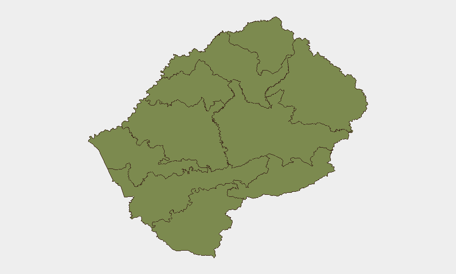
Situation Summary
Lesotho remains a low-threat environment with a composite global threat ranking of #161 and a score of 5. No significant security incidents, civil unrest, crime spikes, or infrastructure disruptions have been verified in the past 24–48 hours. The country's risk profile is heavily concentrated in Maseru District (score 31.5), while all other districts register minimal baseline risk (1.5 each). Current indicators suggest a stable security posture with no emerging crises.
Key Developments
No verified security or risk-relevant incidents have been independently confirmed in Lesotho over the past 24–48 hours. Open-source reporting and web monitoring have not surfaced credible reports of protests, violent crime, political instability, infrastructure failure, or travel disruptions meeting cross-verification standards. Recent local content focuses on community events, including the Chief Lerotholi Annual Kasi Soccer Spectacular scheduled for 12 July 2026 in Maseru, presented without security concerns. Two public statements flagged by GEOBIT on 2026-07-12 involving the United Kingdom and Lesotho have not yet been corroborated or expanded upon in accessible reporting.
Highest-Risk Areas
Maseru District accounts for the overwhelming majority of tracked risk (31.5 vs. 1.5 in all other districts), indicating that security concerns and incident clustering are confined to the capital and surrounding metropolitan area. All ten districts are monitored, but nine remain at minimal baseline risk. The concentration in Maseru reflects typical urban risk patterns—higher population density, commercial activity, and visibility in reporting—rather than active conflict or systemic instability. Corporate personnel and assets in rural or secondary districts face negligible incremental risk compared to the capital.
How GeoBit Would Assist
Corporate security teams operating in Lesotho should employ AOI Monitoring & Early Warning on Maseru District and key infrastructure sites to detect emerging incidents in real time. Intel Sweep and multi-source OSINT fusion (including local news, government social media, and foreign mission advisories) enable cross-verification of any reported developments before operational decisions are made. Risk & Threat Assessment and Network & Actor Analysis capabilities support baseline profiling of personnel, movement corridors, and local stakeholder engagement to anticipate friction points or shifts in the threat environment.
7-Day Outlook
No acute threat escalation is anticipated in the near term based on current indicators. Maseru District will remain the primary monitoring focus for routine urban crime, political statements, and infrastructure-related disruptions. Continued passive monitoring of official government communications and cross-border dynamics with South Africa is prudent as a standard duty-of-care measure; however, no specific warning indicators are present as of 12 July 2026.
Highest-Risk Areas — Ranked
| # | State / Region | Risk |
|---|---|---|
| 1 | Maseru District | 31.5 |
| 2 | Berea District | 1.5 |
| 3 | Mafeteng District | 1.5 |
| 4 | Mohale's Hoek District | 1.5 |
| 5 | Quthing District | 1.5 |
| 6 | Butha-Buthe District | 1.5 |
| 7 | Leribe District | 1.5 |
| 8 | Mokhotlong District | 1.5 |
| 9 | Thaba-Tseka District | 1.5 |
| 10 | Qacha's Nek District | 1.5 |
Sources
Previous Daily Briefs
A new Lesotho brief is written every day — each with its own risk map and downloadable CSV. Here's the last week; use the calendar to go further back.
📅 Browse every day by calendar →
Highlighted days have a brief. Tap a day for that day's map & analysis, or “csv” for that day's dataset ($5).
Atlas — our AI intelligence desk — emails them this snapshot personally. Nothing else, no list.