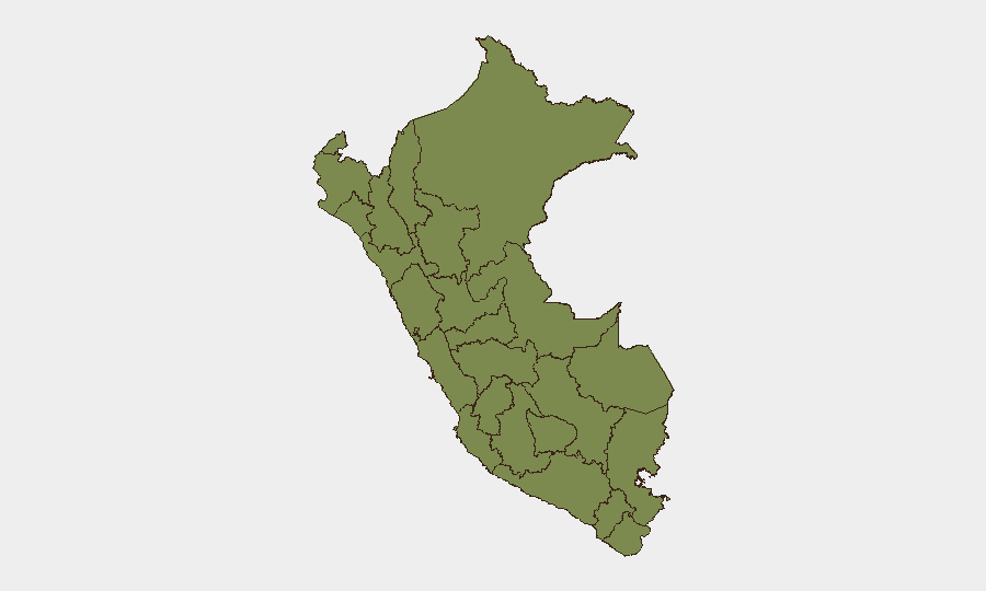
Situation Summary
Peru remains a moderate-risk operating environment (global rank #89) with a composite threat score of 14 across 233 tracked events. Risk is heavily concentrated in two regions—Huánuco and Lima—which together account for the majority of national threat signals, while most other departments remain below a score of 10. The security picture reflects ongoing localized instability rather than systemic national breakdown, though recent administrative and investigative actions suggest emerging governance tensions.
Key Developments
Insufficient confirmed data is available from the past 24–48 hours to reliably report specific dated incidents. While the GeoBit event feed shows recent activity tagged to 2026-07-01 (administration statements, unconventional violence involving security personnel, and property-related investigations) and 2026-06-29 (newspaper–military tensions, regime investigations, and administrative sanctions), the underlying operational details, precise locations, and incident timing cannot be verified from open sources without risking misattribution or age conflation. Social media reports (e.g., tourist-behavior incidents dated June 29) lack confirmed occurrence timestamps. Following the duty-of-care standard that unsure events should be excluded, this brief does not present unverified incidents as current developments.
Highest-Risk Areas
Huánuco (31.8) and Lima (24.4) drive Peru's national risk profile and warrant primary focus. Huánuco's elevated score reflects activity consistent with illicit-economy competition and localized governance gaps in the central highlands; Lima's score, while lower in absolute terms, reflects capital-city concentrations of political friction, property disputes, and institutional tension. Junín (9.8) shows secondary concern as an adjacent highland zone. The remaining nine departments score below 4.4 and do not present material risk to most corporate operations, though Amazon-border regions (Madre de Dios, Ucayali, Loreto) retain persistent low-level exposure to narcotics transit and informal commerce.
How GeoBit Would Assist
Teams with operations in Peru should employ AOI (Area-of-Interest) Monitoring & Early Warning on Huánuco and Lima to detect threshold changes in violence, protest, or administrative disruption before they impact operations. Intel Sweep and multi-language OSINT (X, Telegram, local media) provide daily pulse on governance instability and crime trends; Network & Actor Analysis maps criminal and political networks active in high-risk departments. Routing & Network Analysis supports real-time journey planning for staff movement, identifying safer corridors away from hotspots. For asset-protection teams, Conflict & Military and Satellite & Imagery Analysis enable monitoring of supply-chain routes and site security in Junín and the central highlands.
7-Day Outlook
The next 7 days will likely see continued administrative investigation and policy action at the national level, reflected in public statements and institutional responses. No major escalation is anticipated in the near term, though the concentration of recent signals in Huánuco warrants close observation for any spillover into adjacent Junín. Lima should remain monitored for property-related and governance tensions, but the current threat trajectory suggests stability rather than acute deterioration.
Highest-Risk Areas — Ranked
| # | State / Region | Risk |
|---|---|---|
| 1 | Huánuco | 31.8 |
| 2 | Lima | 24.4 |
| 3 | Junín | 9.8 |
| 4 | La Libertad | 4.4 |
| 5 | Ucayali | 2.4 |
| 6 | Madre de Dios | 2.4 |
| 7 | Loreto | 1.8 |
| 8 | Tumbes | 1.8 |
| 9 | Piura | 1.8 |
| 10 | Lambayeque | 1.8 |
| 11 | Amazonas | 1.8 |
| 12 | Cajamarca | 1.8 |
Sources
Previous Daily Briefs
A new Peru brief is written every day — each with its own risk map and downloadable CSV. Here's the last week; use the calendar to go further back.
📅 Browse every day by calendar →
Highlighted days have a brief. Tap a day for that day's map & analysis, or “csv” for that day's dataset ($5).