Situation Summary
Taiwan remains under sustained low-level military pressure from the People's Liberation Army, with multiple aircraft and naval incursions across the Taiwan Strait median line and into the northern and southwestern Air Defense Identification Zone (ADIZ) recorded on 19–20 July 2026. No major civil unrest, crime spikes, or infrastructure disruption have been reported in the past 24–48 hours, but the frequency and pattern of PLA probing activity—coupled with expanded Chinese coast guard and research vessel presence—continue to elevate cross-strait tension and risk to commercial maritime traffic. The security environment remains controlled but tense, with government response and defence posture adjustments ongoing.
Key Developments
- Taiwan Strait & Northern/Southwestern ADIZ (20 July, ending 06:00 local time):
MND reported 3 PLA aircraft, 6 PLAN vessels, and 8 Chinese official ships; all 3 aircraft crossed the median line and entered ADIZ, prompting ROC air defense and naval response.
- Taiwan Strait & Northern ADIZ (20 July, second reporting window):
2 PLA aircraft and 7 PLAN vessels detected; both aircraft crossed median line into northern ADIZ with ROC monitoring and response deployed.
- Taiwan waters (19 July, preceding 24-hour period):
10 PLA aircraft, 9 PLAN vessels, and 3 official ships operated around Taiwan; 8 of 10 aircraft crossed median line, indicating sustained pattern of military probing.
- Eastern Taiwan waters & Strait (ongoing July, aggregate through mid-month):
Heightened Chinese coast guard and research vessel presence continues; reports indicate expanded patrols and inspection tactics affecting commercial shipping lanes and supply-route security.
- Taipei—Defence policy (mid-July announcement, ongoing):
Government proposed NT$210 billion defence package (2026–2031) for surveillance, coastal attack, and unmanned surface systems, signalling sustained militarization in response to regional threat assessment.
- Taiwan—Visa/entry rules (effective 1 August 2026):
Ministry of Foreign Affairs announced changes to visa facilitation programs, removing Cambodia from certain eased-entry schemes while extending arrangements for Thailand and India; reflects evolving risk assessment of specific countries.
Highest-Risk Areas
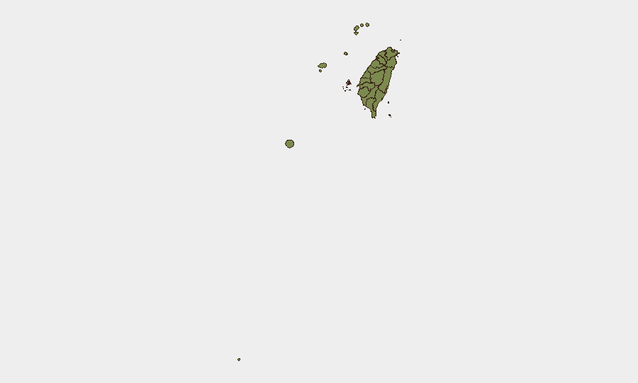
Nantou County (31.3) and Taipei (26.6) carry substantially elevated composite risk scores relative to other Taiwan regions, though the underlying drivers reflect national-level military and political tension rather than localized threats. All other tracked regions score at or near 1.3, indicating risk concentration in the central highlands and capital region. The disparity likely reflects infrastructure criticality, population density, and political/administrative sensitivity rather than acute incident clustering in the past 24–48 hours; current security dynamics are primarily cross-strait military and maritime, not sub-national.
How GeoBit Would Assist
Security teams operating in Taiwan should employ Conflict & Military tracking (force structure, aircraft/vessel monitoring) and Maritime & Aviation tracking to maintain real-time awareness of PLA activity around the island and its impact on supply chains. AOI Monitoring & Early Warning on key ports, airports, and commercial corridors, combined with OSINT fusion (government statements, MND releases, media) and Routing & Network Analysis, enables duty-of-care teams to anticipate disruptions, adjust travel schedules, and identify alternative logistics pathways. GIS & Spatial Analysis integrated with cross-strait tension indicators supports risk zoning and asset protection planning.
7-Day Outlook
PLA air and maritime activity is expected to remain at current elevated levels through late July, with no immediate de-escalation signals apparent. Commercial shipping and regional stability will continue to hinge on the absence of any tactical incident (accident, interception, or miscalculation) that could trigger rapid escalation; the current pattern is one of sustained pressure rather than preparation for major military action.
Highest-Risk Areas — Ranked
| # | State / Region | Risk |
|---|---|---|
| 1 | Nantou County | 31.3 |
| 2 | Taipei | 26.6 |
| 3 | Kaohsiung | 1.3 |
| 4 | Pingtung County | 1.3 |
| 5 | Taitung County | 1.3 |
| 6 | Lienchiang County | 1.3 |
| 7 | Kinmen | 1.3 |
| 8 | Penghu | 1.3 |
| 9 | Changhua County | 1.3 |
| 10 | Miaoli County | 1.3 |
| 11 | Taichung | 1.3 |
| 12 | Yunlin County | 1.3 |
Sources
Previous Daily Briefs
A new Taiwan brief is written every day — each with its own risk map and downloadable CSV. Here's the last week; use the calendar to go further back.
📅 Browse every day by calendar →
Highlighted days have a brief. Tap a day for that day's map & analysis, or “csv” for that day's dataset ($5).
Atlas — our AI intelligence desk — emails them this snapshot personally. Nothing else, no list.