Situation Summary
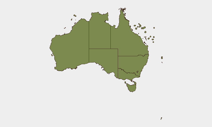
Australia's composite threat profile remains moderate globally (rank #120, score 6.0) but is displaying concentrated vulnerabilities in critical infrastructure and public safety. Two major cyber incidents affecting energy supply and healthcare, combined with a sharp spike in violent crime and weapons offences across Northern Territory communities, have elevated operational risk for personnel and assets in high-density and remote areas. New South Wales carries the highest sub-national risk score (31.8), driven by scale and complexity; however, Northern Territory is now generating the most acute acute acute acute acute acute acute acute acute acute acute acute acute acute acute acute 24–48-hour incident density.
Key Developments
- Sydney, NSW – 22 Jul 2026 – Critical infrastructure cyber breach and extortion
Origin Energy, Australia's largest power retailer, confirmed investigation into a data breach affecting approximately 2 million customer records (names, addresses, phone numbers, birth dates). An attacker claiming the alias "John Doe" has threatened public release of data purportedly affecting "almost five million Australians," indicating ongoing extortion risk. No payment/banking data compromised to date; Australian Cyber Security Centre, AFP and privacy regulator notified.
- Australia-wide – 22 Jul 2026 – Healthcare sector data theft and patient notification
A major healthcare network disclosed unauthorized access to patient medical records following a malicious cyber intrusion on 23 Jun; public disclosure and affected-patient notification issued 22 Jul, creating secondary fraud and privacy-breach risk across the sector.
- Alice Springs, NT – Overnight (21–22 Jul) – Group assault on minor with weapon
NT Police reported a 17-year-old girl physically assaulted by six females attempting to remove her clothing and attack her with an edged weapon, indicating elevated youth violence and weapon access in Alice Springs.
- Alice Springs, NT – Recent (within current police cycle) – Aggravated home invasion
A male resident was struck with a blunt weapon by six males who forced entry; victim secured in bedroom before offenders fled, underscoring residential burglary and violent-assault risk.
- Katherine, NT – Weekend (21–22 Jul) – Stolen vehicles, police ramming attempts, firearm recovery
NT Police investigated multiple stolen-vehicle incidents including deliberate attempts to ram police units; a rifle and ammunition recovered from one vehicle after initially going missing, then turned in Sunday night.
- Katherine Show, NT – Weekend (21–22 Jul) – Public-event weapons seizure and arrests
NT Police arrested five and detained two individuals during wanding operations at Katherine Show, seizing seven knives and 12 prohibited weapons; reflects heightened security posture at major regional gatherings.
- Galiwinku, NT – Monday (23 Jul) – Domestic-violence homicide charge
NT Police charged a 34-year-old with murder of a 17-year-old female in a domestic relationship, signalling serious family-violence fatality risk in remote Yolŋu communities.
- Ramingining, NT – Recent (current police report) – Large-scale illicit kava operation
NT Police dismantled illegal kava distribution following a raid yielding 2,200 individual bags and detailed sales records; reflects substance-trafficking and community-harm risk in remote settlements.
Highest-Risk Areas
New South Wales (31.8) dominates the risk ranking due to concentration of population, critical national infrastructure and cyber-attack surface. Victoria (13.0) and Western Australia (9.6) carry secondary but material risk. However, Northern Territory (8.3) is generating disproportionately acute tactical risk in its three population centres—Alice Springs, Katherine and Darwin hinterland—where weapon access, youth violence, domestic homicide and substance trafficking have clustered in the past 72 hours. Remote communities (Galiwinku, Ramingining) are experiencing serious violent crime and illicit-supply incidents with limited law-enforcement capacity.
How GeoBit Would Assist
Intel Sweep and OSINT fusion would track Origin Energy and healthcare-sector threat-actor communications, ransom-site activity and dark-web chatter to assess extortion trajectory and secondary-victim risk. AOI Monitoring with early-warning alerting on Alice Springs, Katherine and remote NT communities would provide 24-hour detection of emerging weapon-seizure patterns, violence clusters and domestic-homicide risk signals. Network & Actor Analysis would map organized supply-chain and gang involvement in Katherine/Alice Springs incidents, enabling targeted protective posture.
7-Day Outlook
The cyber-extortion phase of the Origin incident will likely escalate through negotiation, public leaks or API probing within 5–7 days; healthcare-sector secondary breaches are probable. Northern Territory violent-crime clustering suggests weekend event traffic and summer-season congregation risk will sustain incident density. Corporate security teams with energy, healthcare or remote-area operations should anticipate elevated credential compromise, supply-chain disruption and personnel safety alerts.
Highest-Risk Areas — Ranked
| # | State / Region | Risk |
|---|---|---|
| 1 | New South Wales | 31.8 |
| 2 | Victoria | 13 |
| 3 | Western Australia | 9.6 |
| 4 | Queensland | 9 |
| 5 | Australian Capital Territory | 8.7 |
| 6 | Northern Territory | 8.3 |
| 7 | South Australia | 3.8 |
| 8 | Tasmania | 2 |
| 9 | Ashmore and Cartier Islands | 1.8 |
| 10 | Jervis Bay Territory | 1.8 |
| 11 | Coral Sea Islands | 1.8 |
Sources
Previous Daily Briefs
A new Australia brief is written every day — each with its own risk map and downloadable CSV. Here's the last week; use the calendar to go further back.
📅 Browse every day by calendar →
Highlighted days have a brief. Tap a day for that day's map & analysis, or “csv” for that day's dataset ($5).
Atlas — our AI intelligence desk — emails them this snapshot personally. Nothing else, no list.