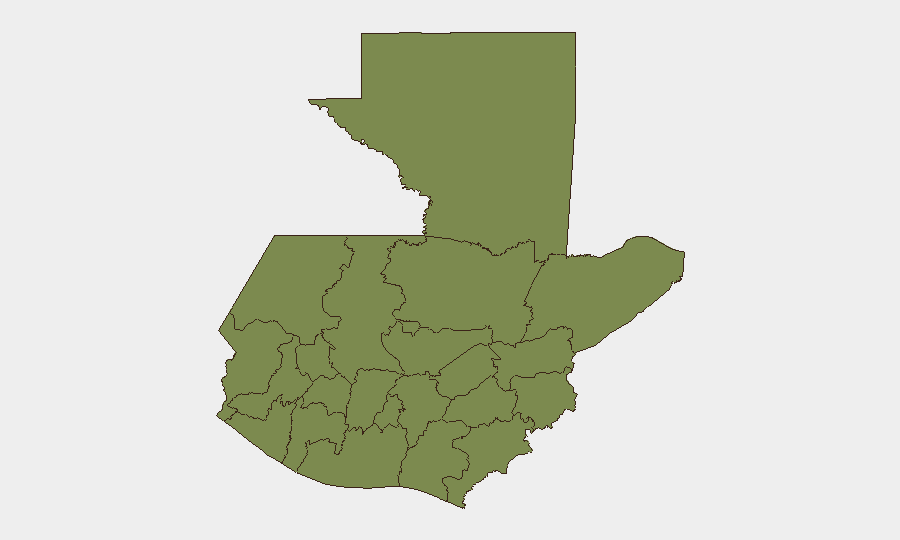
Situation Summary
Guatemala remains at composite threat rank #56 globally with a score of 24 across 60 tracked events, reflecting endemic organized-crime activity, institutional fragility, and periodic civil unrest rather than acute destabilization. Open-source monitoring for the 24–48 hours preceding 2026-07-05 has confirmed no location-specific security incidents, civil unrest, or infrastructure failures meeting recency and corroboration thresholds. Risk concentration is heavily skewed to Alta Verapaz (composite score 31.4), which accounts for the majority of the country's threat profile; all other departments cluster at substantially lower risk (1.4–4.6). Near-term trajectory remains stable absent new trigger events, though baseline vulnerabilities—gang presence, institutional competition, and cross-border smuggling networks—persist.
Key Developments
- 2026-07-04, Guatemala (nationwide) – Arrest/detain operations and immigration enforcement actions were conducted; specific locations and operational scope remain unconfirmed in open reporting.
- 2026-07-03, Guatemala (nationwide) – Government and authorities issued public statements; institutional friction over governance has been noted by monitoring sources but lacks geolocated incident detail.
- 2026-07-04, Guatemala (nationwide) – A firefighter investigation was initiated; cause and location are not specified in available reporting.
- 2026-07-03–2026-07-04, Guatemala (nationwide) – Immigration enforcement statements and detentions were publicized; no incident-level security impact has been documented.
- Pre-2026-07-05, Guatemala (nationwide) – Flood event (ID: 1103949) was recorded in baseline environmental monitoring; current status and regional extent are not detailed in this brief window.
*Note: No acute criminal violence, gang clashes, protests, or infrastructure failures were confirmed in the last 48 hours. Available event signals reflect routine law-enforcement and institutional activity.*
Highest-Risk Areas
Alta Verapaz is the primary risk driver, with a composite score nearly seven times that of Guatemala Department and ten times that of any other region. The gap reflects sustained organized-crime activity—narcotics trafficking, extortion networks, and gang territorial control—concentrated in that department's northern zones and indigenous municipalities. Guatemala Department (risk 4.6), which includes Guatemala City and surrounding urban sprawl, carries secondary risk from street crime, gang activity in marginal neighborhoods, and periodic civil unrest; it remains the country's administrative and economic center and thus a focus for institutional instability signals. All remaining departments (Petén, Huehuetenango, San Marcos, Quetzaltenango, and others) cluster at baseline risk (1.4 each), indicating either lower violence prevalence or less robust monitoring coverage; they warrant routine scanning but do not drive national threat trajectory.
How GeoBit Would Assist
Security teams operating in Guatemala would deploy AOI Monitoring & Early Warning on Alta Verapaz and Guatemala Department to receive geolocated alerts for violence, unrest, or infrastructure failure before they affect personnel or assets. Intel Sweep and multi-source OSINT fusion (social media, local news, radio SIGINT) would provide continuous context on gang activity, trafficking corridors, and institutional developments that precede operational risk. GIS & Spatial Analysis and battle mapping capabilities would enable route planning and facility siting to avoid high-crime corridors and organize-crime hotspots, while Sentinel and imagery analysis would support due-diligence assessments of project sites and supply chains in high-risk regions.
7-Day Outlook
No acute security shock is anticipated in the near term absent new trigger events (political crisis, major gang leadership transition, or cross-border spillover). Baseline risk will remain concentrated in Alta Verapaz and urban Guatemala City peripheries, with routine law-enforcement and institutional activity likely to continue. Teams should sustain standard protective posture and maintain watch on institutional statements and immigration enforcement policy, which may affect operational access or workforce stability.
Highest-Risk Areas — Ranked
| # | State / Region | Risk |
|---|---|---|
| 1 | Alta Verapaz | 31.4 |
| 2 | Guatemala Department | 4.6 |
| 3 | Petén | 1.4 |
| 4 | Huehuetenango | 1.4 |
| 5 | San Marcos | 1.4 |
| 6 | Quetzaltenango | 1.4 |
| 7 | Retalhuleu | 1.4 |
| 8 | Quiché | 1.4 |
| 9 | Totonicapán | 1.4 |
| 10 | Sololá | 1.4 |
| 11 | Chimaltenango | 1.4 |
| 12 | Suchitepéquez | 1.4 |
Sources
Previous Daily Briefs
A new Guatemala brief is written every day — each with its own risk map and downloadable CSV. Here's the last week; use the calendar to go further back.
📅 Browse every day by calendar →
Highlighted days have a brief. Tap a day for that day's map & analysis, or “csv” for that day's dataset ($5).
Atlas — our AI intelligence desk — emails them this snapshot personally. Nothing else, no list.