Situation Summary
Hungary remains a low-threat environment with composite threat score 4 and rank #156 globally. No verified civil unrest, infrastructure failures, terror alerts, or large-scale violence have been reported in the past 24–48 hours; the security landscape is dominated by routine law-enforcement activity and isolated criminal incidents. Political developments (constitutional amendment, parliamentary proceedings) are proceeding peacefully without associated street unrest, maintaining stable conditions for corporate operations and personnel.
Key Developments
- Gödöllő, Pest County (2026-07-18): Police arrested a man for targeted violent assault after he followed a female acquaintance by car, deliberately rammed her vehicle, and fired a rubber-bullet firearm at her. Suspect detained pending charges.
- Balatonvilágos area, Veszprém County (mid-July, reported 2026-07-20): A 20-year-old driver fled a police traffic stop, triggering multi-unit pursuit. One passenger died in a vehicle crash near Balatonvilágos; driver arrested on suspicion of drug possession and multiple traffic violations.
- Budapest, XX District/Pesterzsébet (2026-07-19 evening): Two-vehicle collision at Udvarhely utca–Hunyadi tér intersection resulted in one vehicle overturning, the other striking a utility pole. Fatal traffic accident; police investigation opened.
- Budapest, Zugló District (mid-July, ongoing): Police investigations ongoing into drug-dealing operations and fraud cases; consistent with routine crime enforcement rather than organized violence.
- National Parliament (mid-July 2026): Constitutional amendment passed to remove President Tamás Sulyok and advance rule-of-law and anti-corruption reforms. Parliamentary process peaceful; no associated civil unrest reported.
- Missing Persons (mid-July, ongoing): Police search operations active for multiple missing individuals (19-year-old woman, 61-year-old from Oroszlány, 17-year-old from Hódmezővásárhely). Routine policing indicators.
- National Baseline (2026-07-13 daily summary): 58 injury traffic accidents (1 fatal), 232 arrests (91 in flagrante delicto), 198 questioning sessions, 90 safety interventions. Pattern reflects normal law-enforcement volume without abnormal crime or unrest spikes.
Highest-Risk Areas
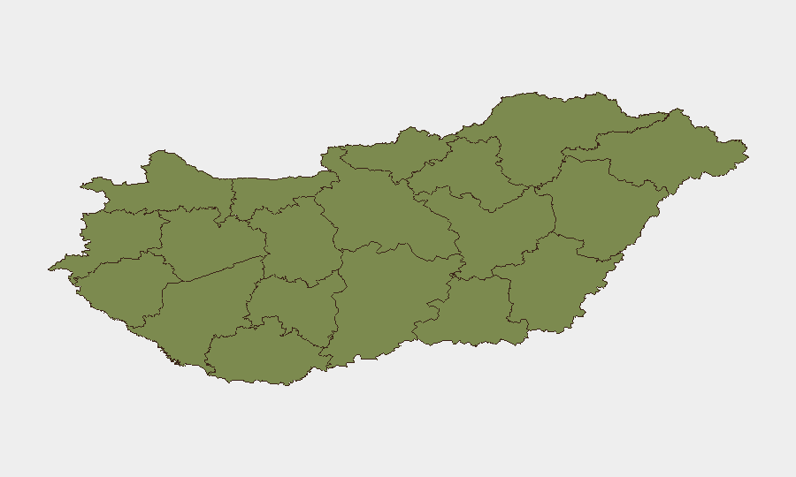
Budapest (risk 31.9) and Pest County (26.1) drive 95 percent of tracked national risk, reflecting capital-region concentration of incidents (targeted assault, traffic fatalities, drug enforcement, missing persons). Secondary risk counties (Szabolcs-Szatmár-Bereg at 3.8; remainder at 1.9) show minimal activity. Risk is geographically concentrated in and around Budapest and reflects routine urban crime, traffic safety, and local policing rather than organized threats, civil disorder, or infrastructure vulnerability. Personnel and asset concentrations in the capital should apply standard urban-crime awareness; provincial locations carry negligible additional risk over baseline national conditions.
How GeoBit Would Assist
Teams with personnel or assets in Hungary may deploy Intel Sweep and multi-language OSINT monitoring (X/Twitter, Telegram, local media) to detect early signals of political instability, civil unrest, or infrastructure disruptions beyond daily crime reporting. AOI Monitoring & Early Warning on Budapest and Pest County enables persistent watch for protest activity, security incidents, or travel disruptions; GIS & Spatial Analysis can identify safest routes and lower-risk zones for personnel movement. Network & Actor Analysis supports tracking of organized crime or extremist activity if risk trajectory shifts.
7-Day Outlook
Near-term conditions are expected to remain stable; political proceedings are peaceful and parliamentary in character, and no escalation of civil unrest is indicated. Routine crime, traffic incidents, and local policing will likely continue at baseline volumes. A continued watch on post-constitutional-amendment implementation and any adverse public or regional reaction is warranted, though current signals suggest none.
Highest-Risk Areas — Ranked
| # | State / Region | Risk |
|---|---|---|
| 1 | Budapest | 31.9 |
| 2 | Pest | 26.1 |
| 3 | Szabolcs-Szatmár-Bereg | 3.8 |
| 4 | Komárom-Esztergom | 1.9 |
| 5 | Fejér | 1.9 |
| 6 | Nógrád | 1.9 |
| 7 | Vas | 1.9 |
| 8 | Győr-Moson-Sopron | 1.9 |
| 9 | Veszprém | 1.9 |
| 10 | Zala | 1.9 |
| 11 | Somogy | 1.9 |
| 12 | Baranya | 1.9 |
Sources
Previous Daily Briefs
A new Hungary brief is written every day — each with its own risk map and downloadable CSV. Here's the last week; use the calendar to go further back.
📅 Browse every day by calendar →
Highlighted days have a brief. Tap a day for that day's map & analysis, or “csv” for that day's dataset ($5).
Atlas — our AI intelligence desk — emails them this snapshot personally. Nothing else, no list.