Situation Summary
Ireland remains a low-threat environment globally (rank #115, composite score 8) with 46 tracked events in the GeoBit system. Security risk is heavily concentrated in County Dublin, which accounts for the majority of the national threat profile. No significant civil unrest, conflict, infrastructure disruption, or public-order incidents have been reported in the past 24–48 hours. The overall security posture remains stable.
Key Developments
GeoBit's event signals from 26 June captured three aviation-sector alerts (airline disapprovals and a public statement involving Nigeria and an airline operator), but these are international regulatory or diplomatic matters with no direct Ireland-based incident confirmed in local reporting. Current web research has not identified verified security incidents, civil disturbances, cyber attacks, or critical infrastructure events in Ireland within the last 24–48 hours. Organizations operating in Ireland should continue standard duty-of-care monitoring but need not escalate alert levels based on current reporting.
Highest-Risk Areas
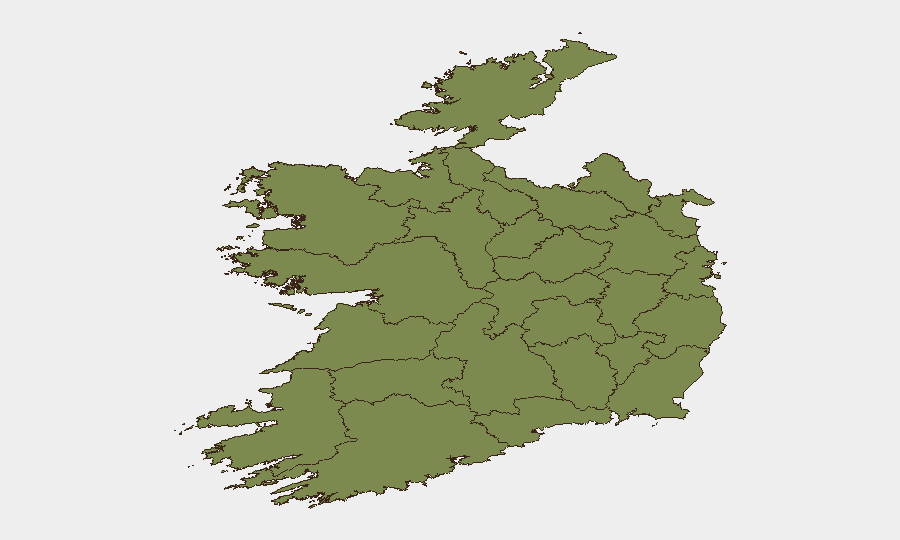
County Dublin dominates the national risk calculus, with a composite score of 31.5—approximately five times higher than the second-ranked region (County Tipperary, 6.9). This concentration reflects Dublin's role as the capital, primary business hub, diplomatic center, and largest urban agglomeration, where crime, protest activity, and civil incidents are naturally more frequent and visible. Secondary risk zones (Tipperary, Kildare, Cork) remain well below critical thresholds, and all other tracked counties score below 2.5. Organizations with personnel or assets in Dublin should maintain heightened situational awareness; those in provincial areas face minimal geopolitical or security-driven risk.
How GeoBit Would Assist
Security teams with Irish operations can deploy AOI Monitoring & Early Warning to establish persistent watches on Dublin's key business districts, transport hubs, and diplomatic zones with real-time alerting. Intel Sweep and multi-language OSINT (cross-referencing Irish news outlets, X/Twitter, and local government channels) provide continuous baseline coverage to detect emerging civil unrest, labor actions, or localized crime spikes. For organizations conducting Routing & Network Analysis, alternative transport and supply-chain planning can mitigate disruption risk in Dublin during periods of protest or congestion. Entity extraction and network analysis help identify organized crime or extremist actor activity should it emerge.
7-Day Outlook
Ireland's security environment is expected to remain broadly stable over the next seven days, with no indicators of deterioration. Continued focus on County Dublin is warranted as the only material risk zone; all provincial areas should see routine baseline risk. Organizations should maintain standard travel and staff-duty protocols without adjustment unless new event signals or local alerts emerge.
Report prepared: 2026-06-27 | Next update: 2026-06-28 | Data refresh: Last 24 h
Highest-Risk Areas — Ranked
| # | State / Region | Risk |
|---|---|---|
| 1 | County Dublin | 31.5 |
| 2 | County Tipperary | 6.9 |
| 3 | County Kildare | 2.5 |
| 4 | County Cork | 2.5 |
| 5 | County Mayo | 2.2 |
| 6 | County Sligo | 1.5 |
| 7 | County Galway | 1.5 |
| 8 | County Clare | 1.5 |
| 9 | County Limerick | 1.5 |
| 10 | County Donegal | 1.5 |
| 11 | County Leitrim | 1.5 |
| 12 | County Roscommon | 1.5 |
Sources
Previous Daily Briefs
A new Ireland brief is written every day — each with its own risk map and downloadable CSV. Here's the last week; use the calendar to go further back.
📅 Browse every day by calendar →
Highlighted days have a brief. Tap a day for that day's map & analysis, or “csv” for that day's dataset ($5).