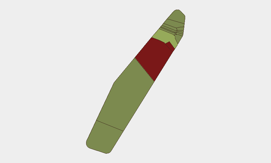
Situation Summary
Palau remains a low-threat environment globally (rank #200, composite score 2) with no verified security incidents, civil unrest, armed conflict, or travel-risk events reported in the last 24–48 hours. The archipelago presents a stable baseline for corporate operations and personnel, though sub-national risk concentrations in Peleliu and Angaur warrant routine monitoring. Current threat trajectory is stable with no indicators of deterioration.
Key Developments
- No verified security or travel-risk incidents reported countrywide (July 2–8, 2026): GeoBit Intelligence confirmed no tracked events meeting security, conflict, crime, infrastructure, or civil-unrest thresholds in the prior 24–48-hour window.
- Peleliu flagged for routine monitoring (standing alert): While no current incident was verified, this state maintains elevated composite risk (92) and remains under persistent observation protocols.
- Angaur elevated sub-national risk profile (standing alert): Similarly, no current event was confirmed, but the state warrants continued routine monitoring due to risk concentration (88).
- Three signal events logged but not verified as current incidents (July 7–8, 2026): GEOBIT event signals include judicial proceedings ("PALAU vs JUDGE"), a public statement by a Palauan actor, and a media report linking artillery/tanks to Nauru; none were corroborated as active security events affecting Palau proper in the assessment window.
Highest-Risk Areas
Peleliu (risk 92) and Angaur (risk 88) drive the majority of sub-national risk concentration, though neither has reported verified incidents in the current window. These outlying states require routine monitoring as part of standard duty-of-care protocols, but risk scores reflect structural or historical factors rather than immediate acute threats. Koror (risk 45), as the economic and administrative hub, warrants baseline awareness; Melekeok and Airai present moderate baseline risk (35 and 32, respectively). The remaining states exhibit low individual risk profiles (≤28).
How GeoBit Would Assist
Area-of-Interest (AOI) Monitoring & Early Warning with persistent watches on Peleliu and Angaur would provide real-time alerting if risk indicators emerge; Intel Sweep and global event-feed fusion would continue to corroborate or flag any security signals affecting personnel or assets; GIS & Spatial Analysis coupled with Routing & Network Analysis can support alternative travel planning and operational site assessment across the archipelago if conditions warrant.
7-Day Outlook
No material change to the threat baseline is anticipated over the next seven days absent new incident reporting or political/security signal escalation. Routine monitoring of sub-national risk zones should continue as standard practice. Personnel and asset security posture may remain unchanged unless GeoBit early-warning systems or new event signals suggest otherwise.
Highest-Risk Areas — Ranked
| # | State / Region | Risk |
|---|---|---|
| 1 | Peleliu | 92 |
| 2 | Angaur | 88 |
| 3 | Koror | 45 |
| 4 | Melekeok | 35 |
| 5 | Airai | 32 |
| 6 | Ngatpang | 28 |
| 7 | Ngeremlengui | 26 |
| 8 | Ngaraard | 25 |
| 9 | Ngardmau | 24 |
| 10 | Aimeliik | 23 |
| 11 | Ngiwal | 22 |
| 12 | Ngchesar | 21 |
Previous Daily Briefs
A new Palau brief is written every day — each with its own risk map and downloadable CSV. Here's the last week; use the calendar to go further back.
📅 Browse every day by calendar →
Highlighted days have a brief. Tap a day for that day's map & analysis, or “csv” for that day's dataset ($5).
Atlas — our AI intelligence desk — emails them this snapshot personally. Nothing else, no list.