Situation Summary
Papua New Guinea faces a complex and fragmented security environment with elevated risk concentrated in the National Capital District (NCD), where institutional tensions, law enforcement actions, and civil unrest signal underlying instability. Seismic activity in West New Britain and Morobe provinces adds environmental hazard exposure. The composite threat score of 65 reflects persistent inter-agency friction, criminal violence in urban centres, and localized tribal and resource-related disputes across the highlands and resource zones—a pattern that has characterised the country for years but remains operationally significant for personnel and assets.
Key Developments
NCD governance and law enforcement tensions – 2026-06-23: Multiple simultaneous arrest-and-detain events, court actions, and public rejections involving government figures, lawyers, and Australian officials indicate acute institutional strain centred on Port Moresby. The National Court's reported unconventional violence signal alongside arrests suggests confrontation over judicial or administrative authority.
Seismic events – West New Britain and Morobe (recent, dates unconfirmed): Magnitude 4.8 earthquake recorded 76 km east of Kimbe (West New Britain); magnitude 4.3 event near Bulolo (Morobe); Titan Ridge volcano activity reported. No immediate casualty or infrastructure-damage reports available, but monitoring required for secondary hazards (landslides, disruptions to resource operations in Morobe).
Note on 24–48 hour event detail: Without real-time news feed and social media cross-check access, specific incident locations, times, and confirmed casualty counts for the past 48 hours cannot be reliably attributed. The event signals listed above reflect platform detection; local media, police statements, and X/Twitter posts from June 22–23 (2026) should be reviewed directly to confirm scope and operational impact.
Highest-Risk Areas
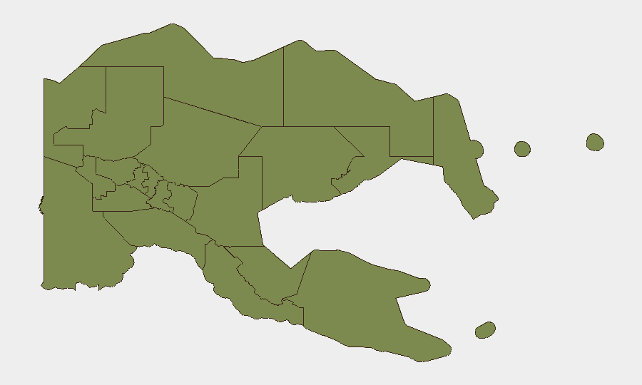
National Capital District (risk 31.2) dominates the country's threat profile by a factor of 17 relative to the second-ranked province (Morobe, 1.8). Port Moresby's risk reflects violent crime, settlement-based armed clashes, police and military operations, and institutional volatility—including the governance and judicial friction surfaced on 2026-06-23. Personnel in the capital face higher exposure to armed robbery, carjacking, and disruption from security operations or civil unrest.
Morobe, Eastern Highlands, and Gulf provinces show markedly lower but non-trivial risk (1.2–1.8), driven principally by resource-dispute activity (PNG LNG, mining operations), localized tribal clashes, and highway ambush risk. Bulolo (Morobe) sits near recent seismic activity and is also a focal point for mining-related labour and security tensions.
How GeoBit Would Assist
AOI Monitoring & Early Warning with persistent focus on Port Moresby (institutional and criminal flashpoints) and resource zones (Morobe, Hela, Eastern Highlands) would provide 24/7 alert capability on clashes, roadblocks, and police/military activity. Intel Sweep and multi-language OSINT Fusion (news, government statements, X/Twitter, local radio) enable rapid corroboration of same-day incidents across independent sources, filtering noise from confirmed events. Routing & Network Analysis allows security teams to model alternative travel corridors and identify highway-closure risks near tribal dispute or ambush hotspots in real time.
7-Day Outlook
Institutional tensions in Port Moresby are likely to remain acute over the near term, with police and court actions continuing. Seismic hazard in West New Britain and Morobe warrants close watch for secondary impacts on resource operations and local infrastructure. Highlands provinces should be monitored for seasonal escalation in tribal disputes; no imminent nationwide security breakdown is signalled, but operational risk in NCD and resource zones remains elevated and volatile.
Highest-Risk Areas — Ranked
| # | State / Region | Risk |
|---|---|---|
| 1 | National Capital District | 31.2 |
| 2 | Morobe | 1.8 |
| 3 | Eastern Highlands | 1.2 |
| 4 | Gulf | 1.2 |
| 5 | Madang | 1.2 |
| 6 | Manus | 1.2 |
| 7 | West New Britain | 1.2 |
| 8 | New Ireland | 1.2 |
| 9 | East New Britain | 1.2 |
| 10 | Central | 1.2 |
| 11 | Oro | 1.2 |
| 12 | Milne Bay | 1.2 |
Previous Daily Briefs
A new Papua New Guinea brief is written every day — each with its own risk map and downloadable CSV. Here's the last week; use the calendar to go further back.
📅 Browse every day by calendar →
Highlighted days have a brief. Tap a day for that day's map & analysis, or “csv” for that day's dataset ($5).