Situation Summary
Taiwan faces a composite security landscape dominated by sustained People's Liberation Army (PLA) air and naval activity around the island, coupled with a new COVID-19 epidemic phase and concurrent military/civil-defense exercises. Political rhetoric between Taipei and Beijing has sharpened over the past 48 hours, reflecting ongoing cross-Strait tension, while domestic regulatory turbulence in food safety creates secondary consumer and protest risk. No acute civil unrest, major infrastructure failures, or imminent security emergencies are reported, but the cumulative effect of military pressure, health-system strain, and planned communications degradation warrants heightened situational awareness through August.
Key Developments
- PLA air and naval operations (July 20–21, Taiwan Strait & northern ADIZ): Taiwan's Ministry of National Defense reported 2 PLA aircraft sorties and 7 PLAN vessels operating around Taiwan over the last 24 hours, with both aircraft crossing the median line into the northern ADIZ. This follows a larger incursion (10 aircraft, 9 vessels on July 19) and indicates sustained elevated Chinese military pressure without imminent tactical escalation.
- COVID-19 epidemic threshold breached (July 12–18, island-wide): Taiwan's Centers for Disease Control announced 4,766 treatment-seekers in the week ending July 18, a 66.5% surge, marking entry into a new epidemic phase. No nationwide restrictions announced yet, but health-system capacity and workforce availability may face localized strain.
- Food-safety regulatory response (July 22, nationwide distribution): Following the Central Union Oil adulteration scandal, authorities cleared 19 batches for resale, destroyed 7 batches, and maintained 1 batch ban. Cabinet is set to pass amendments to food-safety law on July 23, signaling sustained regulatory flux and consumer anxiety.
- Taiwan–U.S. humanitarian assistance drill (July 20, Taipei City): The Ministry of the Interior conducted the 2026 HART A&P exercise integrating civil, military, and international coordination for disaster response—a reinforcement of preparedness for large-scale emergencies including infrastructure disruption scenarios.
- Planned mobile internet throttling in civil-defense drills (announcement July 21, drills Aug. 10 & 13): Authorities confirmed 30-minute mobile-data slowdowns in 14 northern and central counties (~70% of population) during August air-raid exercises, testing population resilience to communications degradation in blockade or conflict scenarios.
- Cross-regional military reinforcement drills (past week, multiple locations): Taiwan's military executed drills targeting geographically vulnerable zones and operationally critical areas, per defense analysts. Exercise movements and airspace notices may occur locally but reflect deterrence posture rather than imminent threat.
- Presidential rhetoric escalation (recent DPP convention, national arena): President Lai Ching-te warned against China's "red terror" and Taiwan becoming "China's Taiwan," citing Beijing's ethnic unity law as a pressure tool. No immediate civil unrest reported, but messaging reflects sharper political confrontation.
Highest-Risk Areas
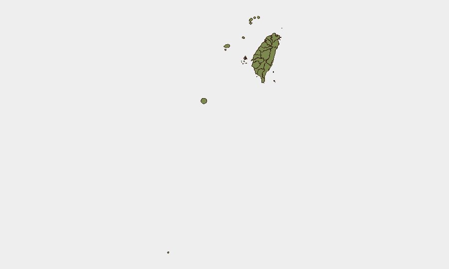
Taipei dominates the sub-national risk ranking (31.3), driven by its status as the capital, concentration of government, financial, and diplomatic infrastructure, and proximity to northern ADIZ incursions. Nantou County (9.4) ranks second, likely reflecting its inland strategic location and civil-defense drill participation. The remaining 10 regions score uniformly low (1.3), indicating dispersed baseline risk; however, those along the central and northern coasts (Miaoli, Changhua, Lienchiang, Kinmen, Penghu) warrant attention during the August communication drills and ongoing PLA activity.
How GeoBit Would Assist
Security teams should deploy AOI Monitoring & Early Warning on Taipei, Nantou, and coastal counties to track PLA aircraft/vessel patterns and civil-defense drill scheduling in real time. Maritime & Aviation tracking paired with Conflict & Military (force-structure and capability monitoring) provides continuous visibility of PLA operations and Taiwan's response posture. Environmental & Health analytics combined with Risk & Threat Assessment enable tracking of COVID-19 spread and downstream operational impacts on workforce and supply chains.
7-Day Outlook
PLA activity is expected to remain elevated but not escalatory through early August, with military and civil-defense drills dominating the operational calendar. The planned August communications throttles and ongoing food-safety regulatory amendments will test institutional and public resilience; monitor for secondary unrest or supply-chain friction. Mid-August represents a inflection point where drill completion and COVID-19 trajectory convergence will clarify near-term risk trajectory.
Highest-Risk Areas — Ranked
| # | State / Region | Risk |
|---|---|---|
| 1 | Taipei | 31.3 |
| 2 | Nantou County | 9.4 |
| 3 | Kaohsiung | 1.3 |
| 4 | Pingtung County | 1.3 |
| 5 | Taitung County | 1.3 |
| 6 | Lienchiang County | 1.3 |
| 7 | Kinmen | 1.3 |
| 8 | Penghu | 1.3 |
| 9 | Changhua County | 1.3 |
| 10 | Miaoli County | 1.3 |
| 11 | Taichung | 1.3 |
| 12 | Yunlin County | 1.3 |
Sources
Previous Daily Briefs
A new Taiwan brief is written every day — each with its own risk map and downloadable CSV. Here's the last week; use the calendar to go further back.
📅 Browse every day by calendar →
Highlighted days have a brief. Tap a day for that day's map & analysis, or “csv” for that day's dataset ($5).
Atlas — our AI intelligence desk — emails them this snapshot personally. Nothing else, no list.