Situation Summary
Antigua and Barbuda maintains a stable, low-threat security environment with no discrete security incidents, civil unrest, or infrastructure disruptions reported in the last 24–48 hours. The country ranks #155 globally on GeoBit's composite threat index (score: 5) and benefits from continued baseline stability with no armed conflict, terrorism, or mass-casualty activity. Routine background risks—including petty street crime and maritime trafficking—persist at endemic levels but remain outside active incident windows. The overall trajectory is benign; security posture remains consistent with U.S. State Department Level 1 (exercise normal precautions) guidance.
Key Developments
- No active incidents reported, 13–15 July 2026. Multiple near-real-time security monitors and regional news sources confirm absence of shootings, bombings, protests, riots, major crimes against tourists, or critical infrastructure failures in Antigua and Barbuda during the current review window.
- Exercise STRONGHOLD and CHOGM drills concluded 10 July 2026. National security exercises on Antigua (linked to Commonwealth Heads of Government Meeting preparations) completed without triggering real-world instability or public-order incidents in the immediate post-exercise period.
- Baseline petty crime and routine trafficking remain endemic, not acute. Street-level theft, petty assault, and maritime smuggling continue as chronic background risks affecting the region; no specific, dated crime incident has been corroborated in the last 48 hours.
- U.S. third-country national policy framework remains under discussion. Parliament's approval of talks with the U.S. on accepting limited third-country nationals is a sovereignty measure; no operational transfers, public protests, or related security events have materialized.
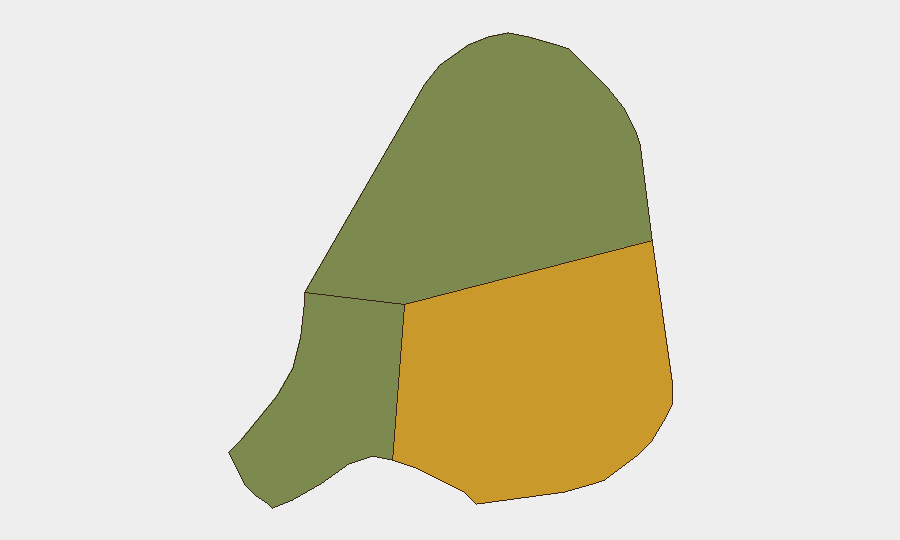
- Antigua remains highest sub-national risk driver. The main island's composite risk score (72) reflects higher urban crime density and population concentration relative to Barbuda (18) and Redonda (8); however, no acute escalation has been documented in the current window.
Highest-Risk Areas
Antigua Island drives 89% of the country's composite threat score, primarily due to concentration of urban crime and transient-population exposure in St. John's and surrounding parishes. Barbuda and Redonda carry substantially lower risk profiles and remain peripheral to active threat assessment. The absence of discrete incidents in the last 48 hours should not obscure routine vulnerability to street crime, drug-related violence, and maritime trafficking in Antigua's urban zones—especially after dark and in areas frequented by tourists. Risk remains *background*, not *acute*.
How GeoBit Would Assist
Security teams should deploy AOI Monitoring & Early Warning on Antigua's high-density urban zones (St. John's, All Saints Parish) to detect emerging protest activity, protest mobilization, or crime-cluster signals before they escalate. Intel Sweep and multi-language OSINT fusion (X/Twitter, Telegram, regional news feeds) provide real-time corroboration of street-level incidents and allow rapid distinction between rumor and confirmed events. Routing & Network Analysis and maritime tracking support duty-of-care teams planning safe transit corridors and identifying trafficking pinch-points in regional waters affecting nationals and assets.
7-Day Outlook
No deterioration in security posture is anticipated in the next seven days. Antigua and Barbuda will likely remain at baseline, low-event status unless external shocks (hurricane season escalation, regional trafficking surge, or political triggering event) emerge. Continued routine monitoring of social media, local news, and maritime activity is prudent for any organization with sustained presence in Antigua.
Highest-Risk Areas — Ranked
| # | State / Region | Risk |
|---|---|---|
| 1 | Antigua | 72 |
| 2 | Barbuda | 18 |
| 3 | Redonda | 8 |
Sources
Previous Daily Briefs
A new Antigua and Barbuda brief is written every day — each with its own risk map and downloadable CSV. Here's the last week; use the calendar to go further back.
📅 Browse every day by calendar →
Highlighted days have a brief. Tap a day for that day's map & analysis, or “csv” for that day's dataset ($5).
Atlas — our AI intelligence desk — emails them this snapshot personally. Nothing else, no list.