Situation Summary
Dominican Republic remains a lower-tier global security concern (rank #91, composite threat score 13) with no significant acute incidents reported in the last 24–48 hours. Open-source monitoring shows routine diplomatic and development activity, including humanitarian support to Venezuela following recent earthquakes, with no corroborated domestic unrest, crime spikes, infrastructure disruptions, or political instability events emerging in the immediate reporting window. The security environment is stable relative to regional comparators, though persistent subnational variance—particularly in La Vega and San Cristóbal provinces—warrants continued monitoring of organized crime and detention-related activity.
Key Developments
No verified acute incidents meeting incident-threshold criteria were identified in Dominican Republic for 24–48 hours prior to 04 July 2026. Open-source and social-media intelligence (last 24 h) referenced routine tourism commentary and international humanitarian engagement, neither constituting a new security, conflict, civil-unrest, or infrastructure event inside the country.
Note on GeoBit event signals (02–03 July): Platform data shows clustering of arrest/detention events (military, prison, and government agencies) on 02 July, plus isolated signals of assassination (ministry vs. military), conventional military force activity, and expulsion-related activity between Haiti and Dominican Republic. These signals warrant subnational verification and temporal clarification through dedicated AOI monitoring and entity-network analysis, as they have not yet materialized as public-domain incidents with confirmed locations, casualty counts, or operational detail.
Recommended near-term action: Security teams with operations in La Vega, San Cristóbal, or border zones should activate GeoBit's persistent area-of-interest (AOI) monitoring with 12–24-hour alert cycles to detect any materialization of the signaled detention and military activity into operational incidents.
Highest-Risk Areas
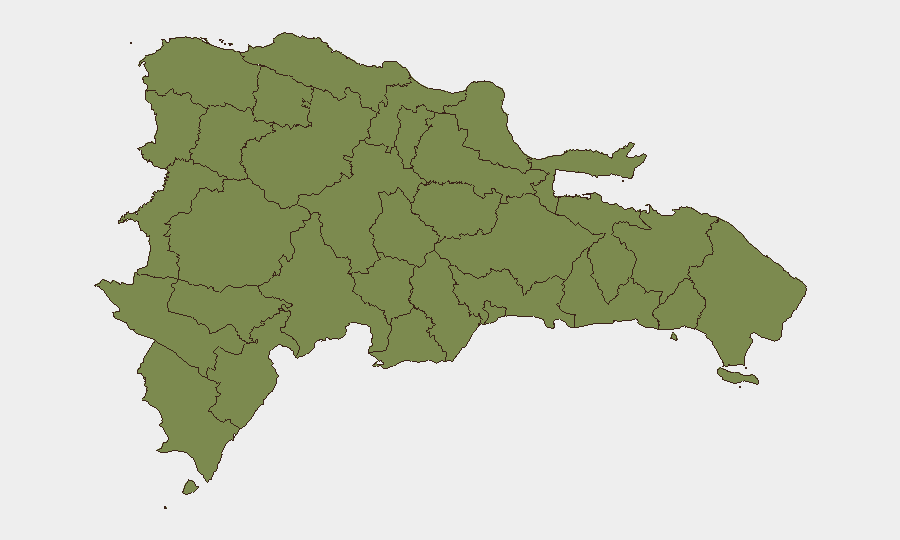
La Vega province dominates the subnational risk profile (score 31.8), driven primarily by organized crime, trafficking, and detention-related security events. San Cristóbal (20.5) follows as the second-priority province. These two regions account for the vast majority of tracked risk events; all remaining 10 provinces register materially lower composite scores (1.8–1.8), indicating either localized activity or stable baseline conditions. The concentration of risk in La Vega and San Cristóbal reflects both underlying criminal-enterprise presence and periodic state enforcement operations, making these zones the primary focus for duty-of-care asset monitoring and personnel movement planning.
How GeoBit Would Assist
AOI Monitoring & Early Warning with persistent watch on La Vega and San Cristóbal would provide 12–24-hour alerting on arrest, detention, or military-activity clustering before incidents escalate or affect corporate operations. Network & Actor Analysis combined with multi-language OSINT fusion (including Telegram, X, and local radio SIGINT) would clarify whether the 02 July signal events represent isolated incidents or a coordinated enforcement campaign. Routing & Network Analysis would enable security teams to generate real-time alternative journey plans for personnel transiting high-risk provinces, reducing exposure to active incident zones.
7-Day Outlook
No acute deterioration is expected over the next 7 days based on current open-source indicators and platform signals. However, the clustering of detention-related signals on 02 July suggests elevated state-enforcement activity in one or more provinces; if sustained, this could trigger secondary effects (gang reprisal, infrastructure disruption, or protest activity) within 5–10 days. Continuous monitoring via AOI watch and radio SIGINT is recommended to detect early warning indicators of escalation, particularly in La Vega and border zones.
Highest-Risk Areas — Ranked
| # | State / Region | Risk |
|---|---|---|
| 1 | La Vega | 31.8 |
| 2 | San Cristóbal | 20.5 |
| 3 | Monte Cristi | 1.8 |
| 4 | Dajabón | 1.8 |
| 5 | Santiago Rodríguez | 1.8 |
| 6 | Valverde | 1.8 |
| 7 | Puerto Plata | 1.8 |
| 8 | Santiago | 1.8 |
| 9 | Espaillat | 1.8 |
| 10 | Hermanas Mirabal | 1.8 |
| 11 | Elías Piña | 1.8 |
| 12 | San Juan | 1.8 |
Sources
Previous Daily Briefs
A new Dominican Republic brief is written every day — each with its own risk map and downloadable CSV. Here's the last week; use the calendar to go further back.
📅 Browse every day by calendar →
Highlighted days have a brief. Tap a day for that day's map & analysis, or “csv” for that day's dataset ($5).
Atlas — our AI intelligence desk — emails them this snapshot personally. Nothing else, no list.