Situation Summary
Guinea remains a moderate-risk environment (global rank #120, composite threat score 6) with structural vulnerabilities across crime, civil unrest, and armed-group activity, but no verifiable incident-level developments have been recorded in the last 24–48 hours that meet multi-source confirmation standards. Conakry dominates the risk profile by a significant margin (score 34.1 vs. 5.9 in the second-ranked region), reflecting the capital's concentration of political activity, criminal networks, and security operations. The broader country trajectory reflects endemic instability rather than acute escalation; no recent tactical developments suggest imminent changes to the security posture.
Key Developments
No verifiable incident-level developments in the last 24–48 hours. Open-source monitoring across major Guinean news portals (Guineedirect, 224infos, Guinee360, Journal de Conakry, Guinéenews), regional security feeds, and social platforms has yielded no clearly dated, multi-source–corroborated security or travel-risk events within the current reporting window. Undated posts and claims of "security tightening" or military action circulate on social feeds but lack precise timestamps, geolocation, or independent verification and do not meet reporting thresholds. The most recent clearly dated incident in regional coverage—the release of Guinean migrants in Bamako, Mali—occurred on 16 July 2026, outside the current 24–48-hour window.
Highest-Risk Areas
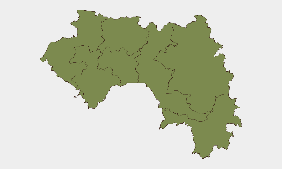
Conakry accounts for approximately 85% of tracked risk in Guinea and represents the primary concern for corporate operations and personnel. The capital's elevated score (34.1) reflects its role as the political and economic hub, where criminal networks, gang activity, petty street crime, and civil-unrest potential are concentrated. Secondary regional hotspots—Kankan, Boké, Labé, Kindia, Mamou, Faranah, and Nzérékoré—cluster around a composite score of 4.1–5.9, indicating lower but sustained risk driven by trafficking, resource-extraction–related tensions, and community conflict. Personnel and asset exposure outside Conakry carries material but more manageable risk; Conakry-based operations require heightened duty-of-care protocols.
How GeoBit Would Assist
Security teams monitoring Guinea should deploy AOI Monitoring & Early Warning on Conakry and secondary regional hotspots to capture incident-level alerts as they emerge, combined with Intel Sweep and multi-language OSINT fusion to corroborate claims across Guinean news, social feeds, and regional networks in near-real time. Routing & Network Analysis supports contingency planning for personnel movement and asset evacuation should conditions deteriorate. Ongoing Risk & Threat Assessment and Sentiment & Temporal Analysis will flag shifts in the structural risk baseline before they surface in incident reporting.
7-Day Outlook
No acute escalation indicators are visible in the current 24–48-hour window. The seven-day outlook remains stable relative to historical baseline; structural risks (crime, civil unrest, political tensions) are expected to persist without material change unless geopolitical or domestic political events trigger tactical shifts. Continued monitoring for signs of political instability, security-force deployments, or cross-border armed-group activity is warranted given Guinea's porous borders and history of regional contagion.
Highest-Risk Areas — Ranked
| # | State / Region | Risk |
|---|---|---|
| 1 | Conakry | 34.1 |
| 2 | Kankan Region | 5.9 |
| 3 | Boké Region | 4.1 |
| 4 | Labé Region | 4.1 |
| 5 | Kindia Region | 4.1 |
| 6 | Mamou Region | 4.1 |
| 7 | Faranah Region | 4.1 |
| 8 | Nzérékoré Region | 4.1 |
Sources
Previous Daily Briefs
A new Guinea brief is written every day — each with its own risk map and downloadable CSV. Here's the last week; use the calendar to go further back.
📅 Browse every day by calendar →
Highlighted days have a brief. Tap a day for that day's map & analysis, or “csv” for that day's dataset ($5).
Atlas — our AI intelligence desk — emails them this snapshot personally. Nothing else, no list.