Situation Summary
Ireland remains a lower-risk jurisdiction globally (rank #77; composite threat score 15) with no verifiable security, conflict, civil-unrest, or infrastructure incidents confirmed in the last 24–48 hours from open-source and social-media intelligence. Risk is heavily concentrated in County Dublin, which accounts for the majority of the nation's composite threat score; all other counties register minimal or negligible threat levels. The current security environment presents standard duty-of-care considerations for corporate operations rather than acute or escalating threats.
Key Developments
No verifiable security, conflict, civil-unrest, crime, political-instability, infrastructure, or travel-risk events meeting time-stamped, location-specific, and multi-source confirmation criteria were identified in Ireland during the 24–48-hour window (26–28 June 2026).
GeoBit's live web research (last 24h) surfaced historical cybersecurity incidents (e.g., 2021 HSE ransomware), generic policy debate, and unconfirmed social media references lacking independent corroboration or clear recent timestamps. No actionable current incidents were reliably isolated.
Highest-Risk Areas
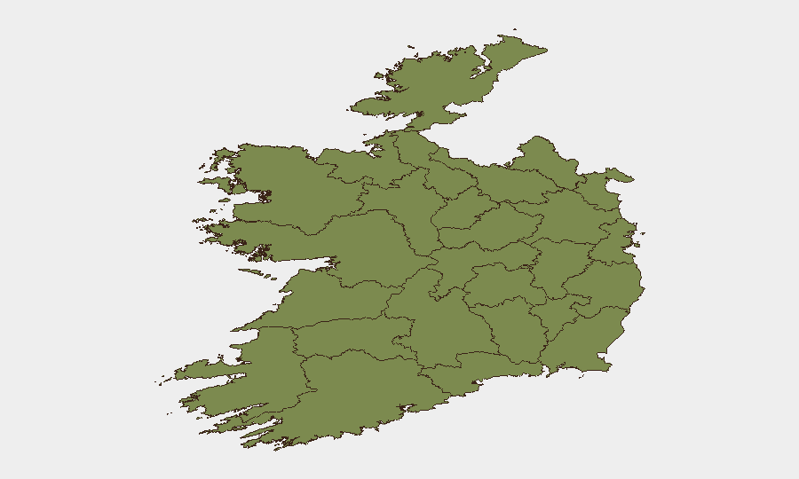
County Dublin dominates Ireland's threat profile with a composite risk score of 31.8—nearly double all other counties combined. This concentration reflects Dublin's role as the capital, economic hub, and primary locus of diplomatic, financial, and transport infrastructure. County Tipperary ranks second (16.2) but at less than half Dublin's level; all remaining counties score below 7, with ten counties registering near-baseline risk (1.8 each). Risk drivers in Dublin typically center on infrastructure vulnerability, transactional exposure, and international connectivity; regional economies and populations carry substantially lower exposure profiles.
How GeoBit Would Assist
Security and duty-of-care teams monitoring Ireland would deploy AOI (Area-of-Interest) Monitoring & Early Warning on high-value Dublin assets and transport nodes to detect emerging incidents in real time; Intel Sweep and multi-source OSINT fusion to corroborate emerging events across news, social, and official channels before internal escalation; and Routing & Network Analysis to plan alternative access or evacuation routes for personnel in Dublin in the event of infrastructure disruption. Risk & Threat Assessment mapping would support periodic re-baselining of exposure by county and sector.
7-Day Outlook
No significant change in Ireland's threat trajectory is anticipated over the next seven days absent external shocks (e.g., geopolitical escalation, transport disruption, or cyberattack on critical infrastructure). Dublin will remain the primary focus for monitoring; all other counties are expected to maintain low-risk postures. Standard corporate security protocols and duty-of-care hygiene remain appropriate.
Report Date: 28 June 2026 | Data Cutoff: 28 June 2026, 06:00 UTC | Confidence: Moderate (open-source availability constraints in 24–48h window)
Highest-Risk Areas — Ranked
| # | State / Region | Risk |
|---|---|---|
| 1 | County Dublin | 31.8 |
| 2 | County Tipperary | 16.2 |
| 3 | County Carlow | 6.6 |
| 4 | County Cavan | 5.6 |
| 5 | County Wicklow | 4 |
| 6 | County Mayo | 1.8 |
| 7 | County Sligo | 1.8 |
| 8 | County Galway | 1.8 |
| 9 | County Clare | 1.8 |
| 10 | County Limerick | 1.8 |
| 11 | County Donegal | 1.8 |
| 12 | County Leitrim | 1.8 |
Sources
Previous Daily Briefs
A new Ireland brief is written every day — each with its own risk map and downloadable CSV. Here's the last week; use the calendar to go further back.
📅 Browse every day by calendar →
Highlighted days have a brief. Tap a day for that day's map & analysis, or “csv” for that day's dataset ($5).