Situation Summary
Kenya faces an acute period of civil unrest driven by fuel-price protests and transport-sector strikes, with secondary political violence emerging during by-elections and a confirmed cybersecurity incident affecting the presidential website. The past 48 hours have produced at least four confirmed deaths, over 30 injuries, and hundreds of arrests across Nairobi and secondary urban centres, with transport disruptions cascading into at least six counties. Nairobi County and Samburu remain the primary threat zones, though protest activity is now geographically dispersed, and internal security-force tensions (including the arrest of a police station commander) signal institutional strain during the response.
Key Developments
- Nairobi CBD and access roads (Thika Road, Outer Ring Road junctions) – 20–21 July: Matatu strike and fuel-price protests turned violent, killing four people, injuring 30+, and resulting in hundreds of arrests. Heavy police presence and barricades persisted into 21 July; police also arrested a Chief Inspector at Nairobi Central Police Station for allegedly releasing 64 detained suspects linked to the protests.
- Ruiru Bypass, Kiambu County – 21 July: Fresh clashes between youths and anti-riot police; protesters barricaded roads with stones and burning tyres, disrupting traffic and prompting extended police operations.
- Multi-county transport disruption – 21 July: Day two of nationwide matatu strike affecting Nairobi, Kiambu, Machakos, Kajiado, Murang'a, Mombasa, and Kisumu, with ongoing reduced public transport and sporadic protest activity.
- Ol Kalou by-election, Nyandarua County – 20 July: Directorate of Criminal Investigations launched formal probe into violent incidents involving masked and armed individuals disrupting polling; Interior Cabinet Secretary ordered thorough investigation. Linked protests in Kiambaa demanding MP resignation over alleged goon involvement.
- Kisumu City and Nyahururu Town – 21 July: Police reported one confirmed death and several injured in separate violent incidents, with 14 arrests following clashes.
- Presidential website – 18–21 July: Kenyan government confirmed cybersecurity incident affecting President Ruto's official website, temporarily shut down. Ministry stated no evidence of unauthorised data access or loss; ICT Authority activated incident-response and forensic investigation protocols.
- Spring Valley, Nairobi – 21 July: Police arrested three additional suspects linked to armed robbery at Chaiiwali Restaurant following dramatic escape attempt from custody.
Highest-Risk Areas
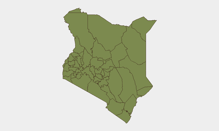
Samburu County dominates the sub-national risk ranking (score 33), driven by longstanding banditry and resource-conflict dynamics; however, Nairobi County's acute spike (19.8) reflects the current civil unrest, police militarisation, and institutional strain evident in mass arrests and internal disciplinary actions. Secondary elevations in Laikipia (6.3) and Embu (4.5) suggest protest ripple effects and potential political-violence clustering ahead of by-elections. The dispersal of protest activity across six counties indicates risk is no longer centralised and may sustain elevated threat levels across transport nodes and urban peripheries through the week.
How GeoBit Would Assist
Security teams should activate AOI monitoring and early warning on Nairobi CBD, Ruiru Bypass, and secondary strike-affected zones to track protest movement and police deployment in near-real-time. OSINT fusion and corroboration across X, Telegram, and local media feeds will clarify protest organisers' next targets and timing, while entity extraction and network analysis will map police leadership changes and internal tensions. Alternative route and journey planning capabilities support duty-of-care teams in re-routing staff and supply chains around live protest zones and barricades.
7-Day Outlook
Fuel protests and matatu strike activity are expected to persist through mid-week unless immediate government fuel-pricing concessions are announced. Political violence risk will likely spike around ongoing by-elections and related local mobilisation, particularly in Central Kenya. Continued police mobilisation and internal discipline actions may degrade response capacity and increase civilian-contact risk in secondary towns.
Highest-Risk Areas — Ranked
| # | State / Region | Risk |
|---|---|---|
| 1 | Samburu | 33 |
| 2 | Nairobi County | 19.8 |
| 3 | Laikipia County | 6.3 |
| 4 | Embu | 4.5 |
| 5 | Nakuru | 3.7 |
| 6 | Garissa | 3.7 |
| 7 | Tana River County | 3.7 |
| 8 | Busia County | 3 |
| 9 | Kakamega County | 3 |
| 10 | Vihiga County | 3 |
| 11 | Nandi County | 3 |
| 12 | Elgeyo-Marakwet County | 3 |
Sources
Previous Daily Briefs
A new Kenya brief is written every day — each with its own risk map and downloadable CSV. Here's the last week; use the calendar to go further back.
📅 Browse every day by calendar →
Highlighted days have a brief. Tap a day for that day's map & analysis, or “csv” for that day's dataset ($5).
Atlas — our AI intelligence desk — emails them this snapshot personally. Nothing else, no list.