Situation Summary
Mauritius remains a stable, low-threat environment with a composite threat ranking of #87 globally (score 12/100). No verified security incidents, civil unrest, crime spikes, or infrastructure disruptions have been reported in the last 24–48 hours across the island or its dependencies. The current operating environment supports normal business, travel, and expatriate operations without acute disruption risk.
Key Developments
No verified security, crime, civil-unrest, or infrastructure incidents meeting incident-reporting criteria have occurred in Mauritius during the last 24–48 hours. Open-source monitoring (news wires, social media, official statements) confirms a quiet operational window with no discrete events affecting corporate personnel, assets, or critical infrastructure in the last two days.
*Note:* Recent event signals in the GeoBit platform (7–10 July) include references to ministerial disapproval, journalistic statements, and police public communications, but these do not constitute acute threats to corporate operations or travel safety at present and do not correlate with verified incidents in the last 24–48 hours.
Highest-Risk Areas
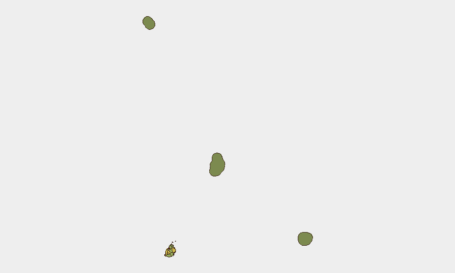
Port Louis (risk 92) dominates the sub-national threat profile, reflecting its role as the capital, primary commercial hub, and port of entry—concentrating financial, government, and logistics activity. Plaines Wilhems (68), Black River (65), and Flacq (62) districts show elevated composite scores, likely driven by urbanization density, transient populations, and economic activity nodes. The outer islands—Rodrigues (22), Saint Brandon (8), and Agaléga (5)—carry minimal risk due to isolation and limited critical infrastructure. Corporate teams should maintain standard duty-of-care protocols in Port Louis and key urban districts but can apply lower-intensity monitoring to outer islands.
How GeoBit Would Assist
Security teams should use AOI (Area-of-Interest) Monitoring & Early Warning to set persistent watches on Port Louis, key ports, and airports, with automated alerts for emerging incidents, protest activity, or infrastructure disruption. Intel Sweep and multi-language OSINT fusion (X/Twitter, Telegram, local news) enable continuous background checks on political stability, labor unrest, and crime trends across the districts. Routing & Network Analysis supports contingency planning for staff evacuation or asset movement if localized disruptions emerge in Port Louis or transport corridors.
7-Day Outlook
No significant deterioration is anticipated in the next seven days. Mauritius is likely to remain operationally stable, with routine government, diplomatic, and commercial activity. Security teams should maintain baseline monitoring posture and update contingency plans quarterly, but no urgent escalation or travel restrictions are warranted at this time.
Highest-Risk Areas — Ranked
| # | State / Region | Risk |
|---|---|---|
| 1 | Port Louis | 92 |
| 2 | Plaines Wilhems | 68 |
| 3 | Black River | 65 |
| 4 | Flacq | 62 |
| 5 | Grand Port | 58 |
| 6 | Moka | 52 |
| 7 | Savanne | 48 |
| 8 | Pamplemousses | 45 |
| 9 | Rivière du Rempart District | 38 |
| 10 | Rodrigues | 22 |
| 11 | Saint Brandon | 8 |
| 12 | Agaléga | 5 |
Sources
Previous Daily Briefs
A new Mauritius brief is written every day — each with its own risk map and downloadable CSV. Here's the last week; use the calendar to go further back.
📅 Browse every day by calendar →
Highlighted days have a brief. Tap a day for that day's map & analysis, or “csv” for that day's dataset ($5).
Atlas — our AI intelligence desk — emails them this snapshot personally. Nothing else, no list.