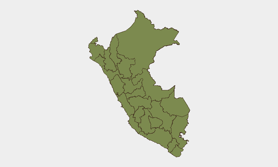
Situation Summary
Peru's composite threat score of 16 places it at #73 globally, reflecting episodic rather than systemic security risks. The dominant near-term driver is environmental rather than conflict-related: the government declared a nationwide 60-day state of emergency on July 2 due to imminent El Niño rainfall, with extended measures in Ayacucho, Cusco, and Junín effective July 6. No major security incidents have met verification standards in the last 24–48 hours, though Huánuco and Lima remain structurally vulnerable to lower-scale disruptions.
Key Developments
- National (22 departments + Callao, 796 districts) – July 2–3, 2026 – Government declared 60-day state of emergency in response to imminent El Niño-related heavy rainfall, enabling exceptional civil-defense and security authority measures; primary risk is infrastructure disruption (flooding, landslides, road closures) rather than civil unrest.
- Ayacucho, Cusco, Junín (selected districts) – July 2, 2026 (effective July 6) – Supreme Decree No. 098-2026-PCM extended existing state of emergency for a further 60 days in multiple districts across these regions; signals prolonged exceptional powers for disaster-response agencies and elevated movement-disruption risk.
- Huánuco region – Composite risk score 31.9 (highest sub-national ranking) – Structural vulnerability remains elevated; no imminent incident reported in last 24–48 hours, but region warrants sustained monitoring.
- National – July 3–4 reporting window – Consolidated open-source security monitoring confirms absence of time-specific, independently corroborated major protest activity, terror incidents, large-scale crime events, or infrastructure attacks meeting duty-of-care verification standards.
- Lima region – Composite risk score 16.5 (second-highest) – Routine low-level administrative tensions and property disputes reported; no acute incidents in current 24–48-hour window.
Highest-Risk Areas
Huánuco dominates the risk landscape (31.9), driven by underlying structural vulnerabilities including infrastructure fragility and limited state presence. Lima (16.5) and Cusco (16.1) follow as secondary concern areas, reflecting urban complexity, transient populations, and exposure to both organized-crime and climate-related disruptions. The El Niño state of emergency amplifies infrastructure and movement risk across all three regions. La Libertad (13.9) and Piura (7.1) present moderate additional exposure; remaining tracked regions show minimal immediate threat elevation.
How GeoBit Would Assist
Security teams should employ AOI Monitoring & Early Warning to track Huánuco, Lima, and Cusco districts for emerging unrest or infrastructure failures, with persistent alerting linked to rainfall and flood data. Conflict & Military and Network & Actor Analysis capabilities enable mapping of organizational actors and tension points in highest-risk zones. Environmental & Health data integration with GIS & Spatial Analysis supports real-time routing and alternative-journey planning to avoid state-of-emergency zones and climate-disrupted infrastructure.
7-Day Outlook
Weather-driven infrastructure disruption and movement constraints will likely intensify through the first half of July as El Niño systems progress. Security incident risk remains episodic and low-scale absent major political or economic shock. Sustained monitoring of Huánuco and Lima administrative developments is warranted to detect escalation.
Highest-Risk Areas — Ranked
| # | State / Region | Risk |
|---|---|---|
| 1 | Huánuco | 31.9 |
| 2 | Lima | 16.5 |
| 3 | Cusco | 16.1 |
| 4 | La Libertad | 13.9 |
| 5 | Piura | 7.1 |
| 6 | Madre de Dios | 6.4 |
| 7 | Cajamarca | 4.9 |
| 8 | Apurímac | 3.4 |
| 9 | Junín | 2.5 |
| 10 | Loreto | 2.3 |
| 11 | Tumbes | 1.9 |
| 12 | Lambayeque | 1.9 |
Sources
Previous Daily Briefs
A new Peru brief is written every day — each with its own risk map and downloadable CSV. Here's the last week; use the calendar to go further back.
📅 Browse every day by calendar →
Highlighted days have a brief. Tap a day for that day's map & analysis, or “csv” for that day's dataset ($5).
Atlas — our AI intelligence desk — emails them this snapshot personally. Nothing else, no list.