Situation Summary
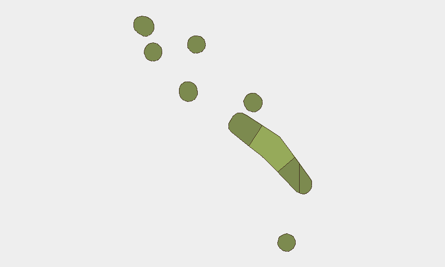
Tuvalu remains in a low-threat security environment with no credible reports of civil unrest, crime, political instability, infrastructure disruption, or travel-risk incidents in the last 24–48 hours. The nation's composite threat score of 2 (ranked #190 globally) reflects baseline vulnerabilities typical of a small island state rather than active security crises. Funafuti, the capital, carries elevated localized risk (score 45) relative to outer atolls, driven by port activity, maritime enforcement operations, and regional geopolitical exposure rather than domestic instability.
Key Developments
No verifiable security, conflict, crime, political-stability, infrastructure, or travel-risk developments meeting the 24–48 hour threshold have been identified in open-source, social-media, or regional intelligence feeds as of 2026-07-24. Current monitoring detects a continued low-incident operational environment.
*Note: Earlier-July events (Chinese fishing-vessel detention on ~9 July; regional missile-test reporting dated 6 July; WWII ordnance survey feature in Nanumea Lagoon with no recent activity flag) fall outside the brief's specified timeframe and are retained in standing risk files for contextual reference.*
Highest-Risk Areas
Funafuti (risk 45) dominates the sub-national risk profile, reflecting its role as the primary port, administrative hub, and point of contact for maritime enforcement and regional geopolitical activity. Vaitupu (risk 28), Nui (risk 25), and Nukufetau (risk 22) carry secondary elevation, likely reflecting dispersed maritime-jurisdiction exposure and limited emergency-response infrastructure common to outer atolls. Remaining islands (Niutao, Nanumanga, Nanumea, Nukulaelae) present lower individual scores but collectively represent fragmented governance and communication challenges in a nation spanning 26 square kilometers across a maritime exclusive economic zone of approximately 900,000 square kilometers.
How GeoBit Would Assist
Security teams monitoring Tuvalu would employ AOI Monitoring & Early Warning on Funafuti port and key maritime corridors to detect shifts in vessel activity, detention operations, or supply-chain disruption; Maritime & Aviation Tracking to maintain persistent visibility on regional traffic and cross-border movements; and Intel Sweep (multi-language web, social-media, and regional feeds) to capture nascent civil unrest, infrastructure incidents, or political signaling that might precede broader instability. Network & Actor Analysis would help map local governance, business, and security-force relationships to assess duty-of-care exposure for personnel or assets.
7-Day Outlook
No acute escalation is anticipated over the next seven days. The operating environment is expected to remain stable and low-incident, with routine maritime and administrative activity. Security teams should maintain standard monitoring and baseline awareness of regional geopolitical developments—particularly involving major-power naval activity and EEZ enforcement—but no heightened alert posture is warranted at this time.
Highest-Risk Areas — Ranked
| # | State / Region | Risk |
|---|---|---|
| 1 | Funafuti | 45 |
| 2 | Vaitupu | 28 |
| 3 | Nui | 25 |
| 4 | Nukufetau | 22 |
| 5 | Niutao | 20 |
| 6 | Nanumanga | 18 |
| 7 | Nanumea | 15 |
| 8 | Nukulaelae | 12 |
Sources
Previous Daily Briefs
A new Tuvalu brief is written every day — each with its own risk map and downloadable CSV. Here's the last week; use the calendar to go further back.
📅 Browse every day by calendar →
Highlighted days have a brief. Tap a day for that day's map & analysis, or “csv” for that day's dataset ($5).
Atlas — our AI intelligence desk — emails them this snapshot personally. Nothing else, no list.