Situation Summary
The United Kingdom is experiencing a sharp spike in street violence, weapons offences, and public-order incidents across all four constituent nations within the past 48 hours. England dominates the risk profile (composite score 32), driven by multiple fatal and serious stabbings in Manchester, London, Kent, and Birmingham, alongside a firearms incident in the West Midlands. Wales, Northern Ireland, and Scotland have registered secondary but notable incidents involving youth disorder, weapons possession, and security alerts. The trajectory suggests sustained elevated risk in urban centres, particularly in high-deprivation areas, with no immediate indication of de-escalation.
Key Developments
- Manchester, England (27 Jun): 17-year-old fatally stabbed on Tavistock Square, Harpurhey; two teenage males arrested on suspicion of murder and violent disorder; Greater Manchester Police launched murder investigation.
- Royal Tunbridge Wells, Kent (27 Jun): Man in his 20s stabbed on Camden Road; Kent Police declared critical incident, deployed armed officers, and established cordon; roads and shops closed.
- Birmingham, West Midlands (26–27 Jun night): Armed police responded to shots-fired reports on Lozells Road; firearms investigation confirmed, shell casings recovered, area patrols increased; no injuries reported.
- Barking & Dagenham, East London (27 Jun): Man in his 30s stabbed on Porters Avenue and left in critical condition; Metropolitan Police established crime scene, increased local patrols, sought dash-cam footage.
- Luton, Bedfordshire (26 Jun late): Group fighting with machetes on Marsh Road; one man hospitalised with serious injuries, suspects fled; Bedfordshire Police implemented Section 60 stop-and-search overnight.
- Cardiff, Wales (27 Jun): South Wales Police arrested multiple individuals after youth disorder involving weapons in Butetown near Bute Street; vehicles damaged, dispersal order issued.
- Glasgow, Scotland (26 Jun evening): Unnotified street gathering in George Square escalated with flares and minor clashes; police deployed public-order units, several arrested for breach of peace and assault on emergency workers.
- Belfast, Northern Ireland (26 Jun night): Security alert in Ardoyne after suspicious object discovery; streets sealed, homes evacuated; Army EOD team declared item non-viable; all-clear issued.
Highest-Risk Areas
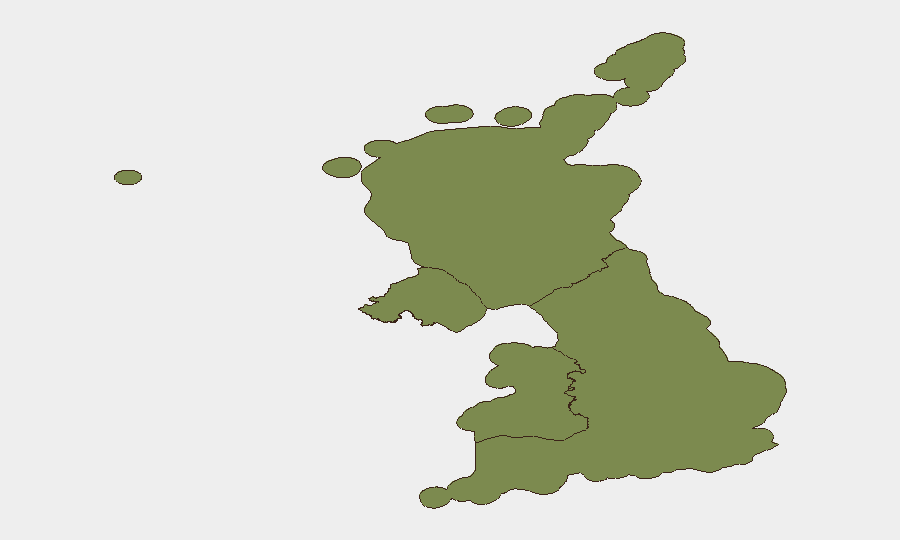
England accounts for 78 per cent of the composite threat score across the UK, with violence concentrated in major urban centres: Greater Manchester, London (particularly East London and central zones), the West Midlands, and Kent. Secondary elevated risk in Wales (Butetown, Cardiff) and Scotland (George Square, Glasgow) reflects youth disorder and public-order tension; Northern Ireland shows lower absolute risk but persistent sensitivity to security alerts in republican areas. The clustering in deprived urban wards and transport hubs suggests both opportunity crime and possible organised coordination, though evidence of the latter remains preliminary.
How GeoBit Would Assist
Security teams should deploy AOI Monitoring & Early Warning on high-risk postcodes in Manchester, London, Birmingham, and Cardiff to detect emerging flashpoints in real time. Intel Sweep and X/Twitter & Telegram OSINT with sentiment & temporal analysis would track online coordination signals, gang affiliations, and rumour-driven escalation across social platforms. Alternative Route & Journey Planning capabilities would help corporate teams and duty-of-care contacts avoid affected neighbourhoods and transport disruptions during peak unrest windows.
7-Day Outlook
Incidents are likely to remain elevated in English urban centres over the next 7 days, with particular risk during weekend hours when youth gatherings and street activity peak. Police enforcement (Section 60 orders, increased patrols, firearms response) may suppress immediate flashpoints but is unlikely to arrest underlying drivers. Monitoring for secondary incidents in satellite cities and ripple effects in transport networks is prudent.
Highest-Risk Areas — Ranked
| # | State / Region | Risk |
|---|---|---|
| 1 | England | 32 |
| 2 | Wales | 8.9 |
| 3 | Northern Ireland | 6.2 |
| 4 | Scotland | 2.3 |
Sources
Previous Daily Briefs
A new United Kingdom brief is written every day — each with its own risk map and downloadable CSV. Here's the last week; use the calendar to go further back.
📅 Browse every day by calendar →
Highlighted days have a brief. Tap a day for that day's map & analysis, or “csv” for that day's dataset ($5).