Situation Summary
The United States remains a composite threat score of 25 globally (#50 ranking) with 5,504 tracked events, indicating a moderate security environment dominated by localized crime, civil disorder, and use-of-force incidents rather than coordinated national threats. The past 24 hours show a pattern of reactive, event-driven instability concentrated in major urban centers across California, Texas, New York, Georgia, Illinois, and the Pacific Northwest. No systemic destabilization is evident, but persistent friction between law enforcement, communities, and public assembly continues to generate sporadic violence, property damage, and operational disruption in high-density areas.
Key Developments
- Los Angeles, California (June 16): LAPD officers fatally shot a family dog during a response to celebratory gunfire in South L.A. following a Knicks playoff victory, triggering internal review and renewed public concern over police use-of-force protocols.
- New York City, New York (June 16): NYPD made multiple arrests and issued summonses following large street celebrations in Manhattan and the Bronx; reports included bottle throwing, minor vandalism, traffic obstruction, and vehicle climbing documented on social media.
- Phoenix, Arizona (June 16): Police reported a shooting outside a west Phoenix strip mall stemming from an inter-group altercation, resulting in at least one fatality and multiple injuries; suspect search ongoing.
- Chicago, Illinois (June 16): Overnight series of shootings on South and West Sides, including drive-by attacks in Englewood and Lawndale, left multiple residents wounded; active crime-scene response confirmed by departmental scanner traffic.
- Atlanta, Georgia (June 16): Police arrested multiple individuals after a large street takeover and illegal racing event near Downtown Connector caused road closures, property damage, and one reported injury.
- Portland, Oregon (June 16): Police declared a civil disturbance after a late-evening protest over policing and homelessness policy resulted in broken windows at downtown businesses and brief officer-protester contact.
- Houston, Texas (June 16): Fatal shooting at a southwest apartment complex following an escalated argument; heavy police presence and resident sheltering reported during initial response.
- Baltimore, Maryland (June 16): Triple shooting in West Baltimore injured three men; motive under investigation with traffic disruptions around crime scene.
Highest-Risk Areas
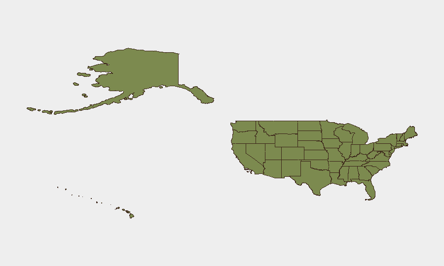
California's risk score of 34.1 substantially exceeds the second-ranked Texas (27.8), driven primarily by Los Angeles metro density, organized property crime, and recurring use-of-force incidents. Texas and Kansas follow at 27.8 and 23.8 respectively, reflecting concentrated violent crime in Houston, Dallas, and border-region activity. The top five states (California, Texas, Kansas, Florida, New York) account for disproportionate event density; New York's rank reflects both NYC's scale and recent civil-disorder and protest activity, while Florida's mid-tier position reflects seasonal demographic flux and property-crime concentration in Miami and Jacksonville corridors.
How GeoBit Would Assist
A corporate security team monitoring United States operations would deploy Intel Sweep and X/Twitter OSINT to capture real-time arrest data, protest declarations, and officer-involved incidents before traditional media publication, enabling facility lockdowns or personnel routing changes. AOI Monitoring & Early Warning on California, Texas, and New York metro areas would alert duty-of-care teams to shooting incidents, traffic disruption, or civil disturbance within minutes of police scanner confirmation. Routing & Network Analysis would provide dynamic alternative route guidance for personnel in affected corridors during active incidents.
7-Day Outlook
Near-term trajectory remains stable but reactive: isolated violent-crime incidents and protest activity will likely continue in major urban centers, particularly if additional high-profile events (sports outcomes, policy announcements) trigger celebratory or oppositional street gatherings. No escalation to coordinated multi-state instability is evident; risk remains episodic and geographically fragmented across the top-ranked states.
Highest-Risk Areas — Ranked
| # | State / Region | Risk |
|---|---|---|
| 1 | California | 34.1 |
| 2 | Texas | 27.8 |
| 3 | Kansas | 23.8 |
| 4 | Florida | 18.5 |
| 5 | New York | 18.1 |
| 6 | Ohio | 15 |
| 7 | Georgia | 11.9 |
| 8 | New Jersey | 11.1 |
| 9 | Mississippi | 10.8 |
| 10 | Louisiana | 10.6 |
| 11 | Michigan | 9.6 |
| 12 | Iowa | 9.5 |
Previous Daily Briefs
A new United States brief is written every day — each with its own risk map and downloadable CSV. Here's the last week; use the calendar to go further back.
📅 Browse every day by calendar →
Highlighted days have a brief. Tap a day for that day's map & analysis, or “csv” for that day's dataset ($5).