Situation Summary
Romania faces an acute hybrid threat environment characterized by direct kinetic incidents on sovereign territory, persistent cyber targeting by Russian state actors, and sustained maritime and airspace intrusions along its eastern and southern borders. The 18 July 2026 incident in Galați—a direct drone strike on a residential building—represents the most serious escalation of physical threat to Romanian civilians since Russia's invasion of Ukraine began, prompting convening of the Supreme National Defense Council. Border tension remains elevated across all eastern approaches (Danube, Black Sea, airspace), with detection and destruction of multiple unmanned systems ongoing. Overall threat trajectory is upward, with no indicators of de-escalation.
Key Developments
- Galați city (eastern Romania) – 17 July morning: Russian-made Geran-2 drone impacted a residential building on a 10th floor, triggering fire and explosion. President Nicușor Dan characterized this as the most serious incident on Romanian territory since the Ukraine war began and convened emergency national defense meeting.
- Tulcea County (north) – 17 July, 04:41 UTC: Romanian Ministry of Defence radar detected airborne targets near Chilia (RO) and Izmail (UA) on the Danube border. RO-Alert air-raid warning issued to residents; alert lifted at 05:07. No unauthorized airspace breach or impacts reported on Romanian soil.
- Black Sea, east of Snake Island – 17 July: Defence Ministry reported detection of drone group approximately 20 km east of Snake Island near Romania–Ukraine maritime border. Situation officially characterized as "strongly tense"; real-time notification sent to allied radar and defense structures.
- Black Sea – confirmed sea-drone destruction – 17 July statement: Acting Defence Minister Radu Miruță confirmed Romanian forces detected and destroyed five sea drones in the Black Sea over the preceding week, some armed with explosives, with debris recovered. One drone self-destructed in Constanța port area.
- National level – Russian cyber attribution – 17 July: Romanian government formally condemned hostile cyber operations linked to Russia's FSB targeting Romania alongside other EU and NATO states. Incident framed as part of broader hybrid threat targeting digital infrastructure.
- Vrancea County, Soveja village – 17 July: Large fire led to evacuation of approximately 300 residents and destruction of 32 houses. No immediate fatalities reported; represents significant local displacement and infrastructure disruption.
Highest-Risk Areas
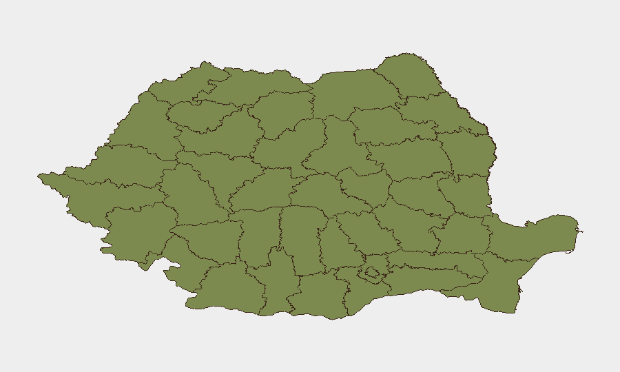
Brașov dominates the sub-national risk ranking (31.8) as the clear outlier, driven by recent military tribunal and small-arms combat events; the specific drivers warrant urgent clarification given the disparity from other regions. Bucharest (13.7) and Vaslui (11.3) represent secondary concentration points. However, the latest 24–48-hour incident pattern shows acute risk distributed across border regions: Galați (drone strike), Tulcea (airspace intrusion), and Black Sea approaches, where kinetic and maritime threats are now materially elevated. Border counties remain elevated; interior administrative centers are lower-risk absent secondary escalation.
How GeoBit Would Assist
Security teams should employ persistent Area-of-Interest (AOI) monitoring and early warning on Galați, Tulcea, Constanța, and Vaslui counties to detect airspace or maritime incursions in real time. Conflict mapping and force-structure tracking on the Danube and Black Sea approaches, combined with maritime and aviation tracking, will provide advance notice of drone operations or military repositioning. Multi-language OSINT fusion and sentiment analysis across Romanian, Ukrainian, and Russian official and social channels will capture tactical escalation signals before physical events occur.
7-Day Outlook
Drone strikes and border incursions are likely to persist at current or elevated frequency given Russia's demonstrated capability to penetrate Romanian airspace and the absence of immediate kinetic response. Cyber operations targeting government and critical infrastructure will likely continue. Risk of secondary cascading incidents (further strikes, retaliatory statements, NATO activation) remains material if civilian casualties occur in future incidents.
Highest-Risk Areas — Ranked
| # | State / Region | Risk |
|---|---|---|
| 1 | Brașov | 31.8 |
| 2 | Bucharest | 13.7 |
| 3 | Vaslui | 11.3 |
| 4 | Bihor | 4.2 |
| 5 | Mureș | 4.2 |
| 6 | Dolj | 4.2 |
| 7 | Buzău | 3.4 |
| 8 | Maramureș | 2.6 |
| 9 | Galați | 2.6 |
| 10 | Vâlcea | 1.8 |
| 11 | Timiș | 1.8 |
| 12 | Caraș-Severin | 1.8 |
Sources
Previous Daily Briefs
A new Romania brief is written every day — each with its own risk map and downloadable CSV. Here's the last week; use the calendar to go further back.
📅 Browse every day by calendar →
Highlighted days have a brief. Tap a day for that day's map & analysis, or “csv” for that day's dataset ($5).
Atlas — our AI intelligence desk — emails them this snapshot personally. Nothing else, no list.