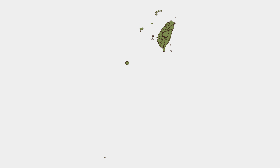
Situation Summary
Taiwan faces sustained military and paramilitary pressure from the People's Republic of China across its air defense identification zone (ADIZ) and surrounding waters, with no major domestic civil unrest or infrastructure disruption reported in the last 24–48 hours. Cross-strait tensions remain elevated, characterized by repeated PLA aircraft median-line incursions, increased Chinese coast guard and naval vessel activity, and concurrent live-fire drills near Fujian. Taipei's planning response—including contingency exercises for maritime supply-chain resilience under potential Chinese blockade—signals heightened strategic concern, though the immediate risk to civilians and commercial operations remains below crisis threshold absent direct military engagement.
Key Developments
- Northern, central, and southeastern ADIZ (26 July 2026, 6 a.m. UTC+8): Taiwan's Ministry of National Defense detected 4 PLA aircraft, 5 PLAN vessels, and 6 Chinese official ships; all 4 aircraft crossed the Taiwan Strait median line into Taiwan's ADIZ. ROC armed forces monitored and responded.
- Northern ADIZ / Taiwan Strait median line (25 July 2026, 6 a.m. UTC+8): MND reported 10 PLA aircraft, 9 PLAN vessels, and 3 official ships around Taiwan; 8 of 10 aircraft crossed the median line into the northern ADIZ. Pattern reflects sustained multi-day military presence.
- Taiwan Strait / off Fujian coast (23–24 July 2026): China conducted two days of live-fire drills in designated zones near Fujian province, posing navigation hazards for commercial shipping and raising travel risk for vessels transiting the strait.
- Waters around Taiwan (July 2026, reported 25 July): Taiwan's Coast Guard Administration confirmed sharp rise in Chinese government vessel activity—55 sightings in June versus 30 in May—driving Taipei's planned drills to simulate Chinese escalation and escort protocols off Taiwan's Pacific coast.
- Supply-chain resilience planning (announced 25 July 2026): Four Taiwanese officials disclosed to *The New York Times* that Taiwan is conducting urgent tabletop exercises and planning drills to maintain fuel and critical supplies under a potential Chinese maritime siege, including ship rerouting and emergency stockpile management.
Highest-Risk Areas
Penghu (risk 31.3) dominates Taiwan's sub-national threat landscape, reflecting its exposed geography in the Taiwan Strait and strategic proximity to PLA forward positions. Taipei (15.2) follows, likely driven by its political and administrative significance, combined with its position in northern ADIZ corridors experiencing the highest frequency of PLA aircraft incursions over the last 48 hours. Nantou County (8.3) ranks third, though specific triggering events are not detailed in current reporting. All other regions remain at or below 2.5, indicating that acute military and political tension is geographically concentrated in the Strait-facing north and west.
How GeoBit Would Assist
Duty-of-care teams operating in Taiwan should deploy Maritime & Aviation tracking, AOI Monitoring & Early Warning (persistent watch on northern ADIZ and Strait shipping corridors), and Routing & Network Analysis to identify alternative supply and personnel routes during elevated tension periods. Conflict & Military force-structure and weapons-capability tracking, combined with OSINT fusion (daily aggregation of MND statements, Chinese state announcements, and independent news), enables continuous, corroborated assessment of PLA/PLAN activity without reliance on single sources. GIS & Spatial Analysis applied to live-fire drill zones and vessel-activity hotspots supports real-time route planning and site-risk briefings.
7-Day Outlook
PLA and PLAN activity is expected to remain elevated through early August, driven by ongoing political dispute and routine military exercises. No imminent de-escalation signal is evident from available reporting; however, absent direct military engagement or a major political crisis, the current pattern—daily aircraft incursions, naval presence, and coast guard patrols—is likely to persist as a chronic, rather than acute, security condition. Corporate operations and logistics should maintain contingency protocols for supply-chain disruption and maritime delays.
Highest-Risk Areas — Ranked
| # | State / Region | Risk |
|---|---|---|
| 1 | Penghu | 31.3 |
| 2 | Taipei | 15.2 |
| 3 | Nantou County | 8.3 |
| 4 | Taichung | 2.5 |
| 5 | Kaohsiung | 1.3 |
| 6 | Pingtung County | 1.3 |
| 7 | Taitung County | 1.3 |
| 8 | Lienchiang County | 1.3 |
| 9 | Kinmen | 1.3 |
| 10 | Changhua County | 1.3 |
| 11 | Miaoli County | 1.3 |
| 12 | Yunlin County | 1.3 |
Sources
Previous Daily Briefs
A new Taiwan brief is written every day — each with its own risk map and downloadable CSV. Here's the last week; use the calendar to go further back.
📅 Browse every day by calendar →
Highlighted days have a brief. Tap a day for that day's map & analysis, or “csv” for that day's dataset ($5).
Atlas — our AI intelligence desk — emails them this snapshot personally. Nothing else, no list.