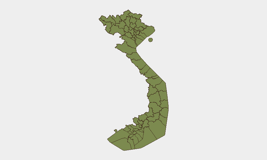
Situation Summary
Vietnam remains a low-threat environment globally (composite threat score 5/100; rank #150), with security challenges concentrated in Ho Chi Minh City and scattered high-risk northern border regions. Recent signal activity includes civil-military friction, public statements on foreign relations, and flood impact, though baseline crime, petty theft, and unexploded ordnance remain the primary standing risks for corporate operations. The security trajectory is stable but fragmented, with localized volatility in HCMC (risk score 33.1) substantially outweighing national averages.
Key Developments
- 2026-07-07 · Public Statement · Vietnam–US Relations. Official statements between Hanoi and Washington; no specific operational impact reported in available sources, but reflects ongoing bilateral engagement and diplomatic messaging.
- 2026-07-07 · Public Statement · Vietnam–Journalist Relations. Official or institutional statement concerning media; potential implications for corporate communications and foreign press activity in-country.
- 2026-07-06 · Public Statement · Navy. Naval-related official communication; context unclear from available signals, but consistent with routine military administrative activity.
- 2026-07-06 · Conventional Military Force · Vietnam vs Police. Reported force-related event between military and police; scale, location, and outcome unconfirmed in open research. Warrants clarification before operational assessment.
- 2026-07-06 · Conventional Military Force · Vietnam vs Ho Chi Minh City. Military activity involving or affecting HCMC; insufficient detail in current signals to assess civilian impact or operational constraint.
- 2026-07-05 · Reject events (School, Community). Social or institutional rejection/protest incidents in unspecified locations; civilian unrest signal without geographic precision or scope.
- 2026-07-05 · Public Statement · Ho Chi Minh City vs Poland. Official statement between HCMC and Polish interests; diplomatic or trade-related messaging without immediate security implication.
- Recent · Flood in Vietnam (Event ID 1103992). Active flooding reported; geographic scope and severity unconfirmed in provided research. Likely to affect transportation, infrastructure, and logistics in affected regions.
Note: Live web research (last 24–48 hours) did not yield time-stamped incident corroboration. Event signals above are sourced from GeoBit platform tracking and require field verification.
Highest-Risk Areas
Ho Chi Minh City dominates the risk profile (33.1/100) and accounts for the majority of tracked security events, reflecting urban crime, petty theft, civil unrest, and logistical vulnerability. Northern border provinces—Lai Châu, Lào Cai, Hà Giang, Tuyên Quang, Cao Bằng, Bắc Kạn, Điện Biên, Yên Bái, and Sơn La—cluster at moderate but uniform risk (3.1 each), driven by border instability, narcotics trafficking, unexploded ordnance, and limited state capacity. Huế (6.8) and Đà Nẵng (4.3) represent secondary urban concentrations. Corporate assets and personnel in HCMC should maintain elevated situational awareness; northern operations should factor ordnance risk and supply-chain friction.
How GeoBit Would Assist
Intel Sweep & OSINT across Vietnamese news outlets, X/Twitter, and Telegram would establish a 48-hour early warning baseline for labor unrest, protest activity, and flood/infrastructure impacts affecting office and supply-chain continuity. AOI Monitoring & Early Warning on HCMC and critical logistical nodes would enable persistent alerting when events cross security thresholds. Routing & Network Analysis would identify alternative transport corridors during infrastructure disruption or civil activity; Satellite & Imagery analysis would confirm flood extent and regional access constraints in real time.
7-Day Outlook
No imminent destabilization is forecast. Baseline crime and petty theft will persist in HCMC; flood impact will likely subside within 7 days unless rainfall persists. Monitor official statements and military activity for operational friction; expect routine diplomatic messaging to continue.
Highest-Risk Areas — Ranked
| # | State / Region | Risk |
|---|---|---|
| 1 | Ho Chi Minh City | 33.1 |
| 2 | Huế | 6.8 |
| 3 | Đà Nẵng | 4.3 |
| 4 | Lai Châu Province | 3.1 |
| 5 | Lào Cai Province | 3.1 |
| 6 | Hà Giang Province | 3.1 |
| 7 | Tuyên Quang Province | 3.1 |
| 8 | Cao Bằng Province | 3.1 |
| 9 | Bắc Kạn Province | 3.1 |
| 10 | Điện Biên Province | 3.1 |
| 11 | Yên Bái Province | 3.1 |
| 12 | Sơn La Province | 3.1 |
Previous Daily Briefs
A new Vietnam brief is written every day — each with its own risk map and downloadable CSV. Here's the last week; use the calendar to go further back.
📅 Browse every day by calendar →
Highlighted days have a brief. Tap a day for that day's map & analysis, or “csv” for that day's dataset ($5).
Atlas — our AI intelligence desk — emails them this snapshot personally. Nothing else, no list.