Situation Summary
Antigua and Barbuda remains in a stable, low-threat security environment with no confirmed acute incidents reported over the last 24–48 hours as of 22 July 2026. Police and government institutions are functioning normally, and external travel advisories remain at Level 1 (Exercise Normal Precautions). However, the nation records baseline violent crime incidents—including two shootings in mid-to-late July—that warrant ongoing monitoring of Antigua's higher-risk urban areas.
Key Developments
- No confirmed acute security incidents (nationwide, 21–22 July 2026): Cross-checked open-source news and security feeds report no new shootings, major crime spikes, civil unrest, political instability, or terrorism events in the last 24–48 hours.
- Travel advisories unchanged (nationwide, 21–22 July 2026): U.S. State Department and comparable external advisories remain at baseline levels, indicating no newly identified travel-risk deterioration or security environment degradation.
- Government and police operations normal (nationwide, 21–22 July 2026): Routine institutional functioning reported with no disruptions to law enforcement or state capacity.
Highest-Risk Areas
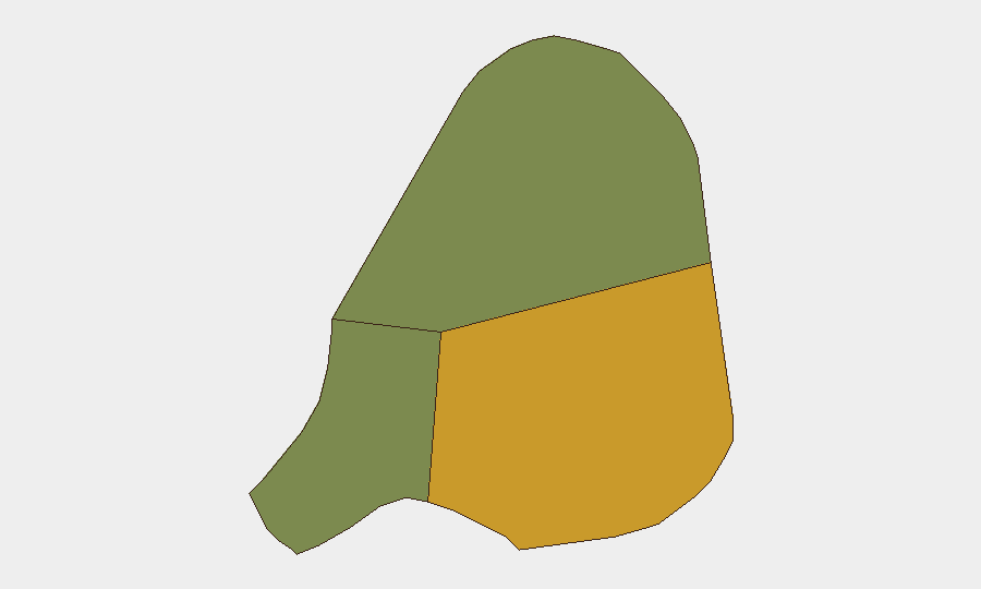
Antigua, with a composite sub-national risk score of 72, dominates the threat landscape and drives the nation's overall risk profile; violent crime (including shootings in Potters and Villa in mid-July) concentrates in urban and semi-urban settlements on the main island. Barbuda (score 18) and Redonda (score 8) present significantly lower risk. The disparity reflects Antigua's population density, economic disparities, and gang-related activity patterns. Security teams should prioritize monitoring of high-density urban zones on Antigua, particularly St. John's and surrounding neighborhoods, for baseline violent-crime trends rather than acute political or infrastructure threats.
How GeoBit Would Assist
GeoBit's AOI Monitoring & Early Warning capability—persistent area-of-interest watch with alerting—enables real-time detection of emerging incidents in high-risk neighborhoods on Antigua ahead of public reporting. OSINT fusion & corroboration (aggregating X/Twitter, local news, and multi-language security feeds) provides 24/7 baseline crime trend visibility and early detection of unrest or institutional disruption. GIS & Spatial Analysis combined with conflict and crime search helps security teams map violent-incident clusters and identify safe transit corridors and facility-protection priorities.
7-Day Outlook
No acute escalation is anticipated over the next seven days; the security environment is expected to remain stable at baseline levels. Routine monitoring of crime statistics and police capacity in Antigua is advised to detect any upward trend in violent incidents or gang activity, though no signals of destabilization are present.
Report Date: 22 July 2026 | Confidence: Moderate | Next Update: 23 July 2026
Highest-Risk Areas — Ranked
| # | State / Region | Risk |
|---|---|---|
| 1 | Antigua | 72 |
| 2 | Barbuda | 18 |
| 3 | Redonda | 8 |
Previous Daily Briefs
A new Antigua and Barbuda brief is written every day — each with its own risk map and downloadable CSV. Here's the last week; use the calendar to go further back.
📅 Browse every day by calendar →
Highlighted days have a brief. Tap a day for that day's map & analysis, or “csv” for that day's dataset ($5).
Atlas — our AI intelligence desk — emails them this snapshot personally. Nothing else, no list.