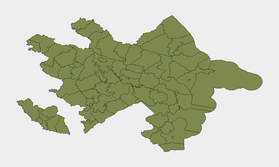
Situation Summary
Azerbaijan maintains a composite threat score of 6 (rank #142 globally) with 25 tracked events, reflecting controlled overall security but persistent sub-national volatility. The security environment is dominated by landmine contamination, unexploded ordnance (UXO), and border-area tensions in the south and southwest rather than active armed clashes or widespread civil unrest in the last 48 hours. Current advisories from major governments remain in force, signalling sustained risk perception in conflict-affected rayons and along the Armenia frontier, though no discrete new incidents are confirmed in open reporting as of 28 June 2026.
Key Developments
- South-western conflict-affected districts (Kelbajar, Lachin, Qubadli, Zengilan, Jabrayil, Fuzuli, Khojavand, Shusha, Khojali, Khankendi, Aghdam, Tartar) — 28 June 2026 (advisory current): UK FCDO reiterates advice against all but essential travel due to landmines, UXO, and unresolved Armenia tensions; no new incident reported, but advisory refresh confirms elevated risk posture remains in effect.
- Border zone within 5 km of Armenia–Azerbaijan mainland frontier — 28 June 2026 (advisory current): FCDO warning cites heightened regional tension risk and potential for airspace closures in event of escalation; advisory reflects ongoing border management rather than new active hostilities.
- Nakhchivan Autonomous Republic — 28 June 2026 (advisory current): Included in FCDO travel warnings; March 2026 drone strike at Nakhchivan International Airport (confirmed impact) continues to shape risk perception, though no new incidents in the enclave reported in last 48 hours.
- Open-source event feeds and media monitoring — Last 24–48 hours: No multi-source-confirmed attacks, major protests, serious crime spikes, or infrastructure failures with discrete dates in Azerbaijan proper identified. Event signals reflect older incidents, political commentary, and international media activity rather than fresh ground incidents.
Highest-Risk Areas
Ujar District (risk 31.4) and Agdere District (risk 16.4) account for the majority of sub-national composite risk and dominate the threat profile. The concentration reflects legacy conflict contamination (landmines and UXO), proximity to contested territories, and cumulative hazard accumulation from the 2020 conflict and post-ceasefire tensions. All other tracked rayons (Sadarak, Qazakh, Sharur, Yevlakh, Kangarli, Aghstafa, Tovuz, Qakh, Shaki, and Nakhchivan) register significantly lower individual scores (1.4 each), indicating that risk is geographically concentrated rather than dispersed, and duty-of-care focus should narrow accordingly.
How GeoBit Would Assist
Security and risk teams operating in or transiting Azerbaijan would use AOI Monitoring & Early Warning to track the Ujar and Agdere rayons continuously for changes in incident frequency or escalation patterns. Conflict & Military analysis (force structure, weapons-capability tracking, and battle mapping) combined with Satellite & Imagery analysis would flag UXO clearance progress or new military activity in border zones. Routing & Network Analysis would support journey planning around high-risk rayons and border corridors, while OSINT fusion across social media, local news, and government advisories would maintain real-time awareness of administrative changes or travel restrictions.
7-Day Outlook
No major escalation is indicated in available reporting, but the risk environment is static rather than improving. Border and UXO hazards will remain the primary threat driver for the next seven days, with advisory status likely unchanged unless Armenia-Azerbaijan diplomatic or military dynamics shift materially.
Highest-Risk Areas — Ranked
| # | State / Region | Risk |
|---|---|---|
| 1 | Ujar District | 31.4 |
| 2 | Agdere District | 16.4 |
| 3 | Sadarak District | 1.4 |
| 4 | Qazakh District | 1.4 |
| 5 | Sharur District | 1.4 |
| 6 | Yevlakh District | 1.4 |
| 7 | Kangarli District | 1.4 |
| 8 | Nakhchivan Autonomous Republic | 1.4 |
| 9 | Aghstafa District | 1.4 |
| 10 | Tovuz District | 1.4 |
| 11 | Qakh District | 1.4 |
| 12 | Shaki | 1.4 |
Sources
Previous Daily Briefs
A new Azerbaijan brief is written every day — each with its own risk map and downloadable CSV. Here's the last week; use the calendar to go further back.
📅 Browse every day by calendar →
Highlighted days have a brief. Tap a day for that day's map & analysis, or “csv” for that day's dataset ($5).