Situation Summary
Ghana remains a stable, low-threat operating environment (global rank #138, composite threat score 6.0) but faces a concentrated acute crisis in Greater Accra Region following devastating flash floods on 30 June that killed at least 12 people and displaced over 470. Security response has been rapid—President Mahama deployed Ghana Armed Forces and police to support rescue and relief operations, with 300 million cedis allocated for emergency response. The capital's immediate security posture is dominated by natural-disaster management, though parallel law-enforcement operations (organized crime sweeps, cybercrime arrests) indicate sustained police capacity and no broader instability.
Key Developments
- Accra (multiple suburbs), 30 June 2026 – Flash floods kill 12, displace 470+. Torrential overnight rains flooded large areas of the capital including Tesano. Ghana National Fire Service and NADMO conducted intensive rescue operations; Armed Forces deployed in support. Road closures and unsafe floodwaters triggered official travel warnings for affected Accra neighborhoods.
- Accra (citywide), 30 June 2026 – Emergency flood relief mobilization. Government released 300 million cedis for relief efforts; security forces conducting evacuations and infrastructure clearance. Large-scale response ongoing; commercial and transport networks disrupted in capital.
- Accra (unspecified), 30 June 2026 – Cybercrime arrests. Ghana Police arrested eight Nigerian nationals suspected of online fraud targeting foreign and local victims in an intelligence-led operation, reflecting active cyber-financial crime networks.
- Ashanti Region (multiple localities), 30 June 2026 – Major organized crime sweep. Police arrested 186 suspects linked to human trafficking, sexual exploitation, drug trafficking, and related illicit activity in a coordinated regional operation with security implications beyond Ashanti.
- National policy level, 30 June 2026 – Expanded flood and administrative reforms announced. Government unveiled sweeping flood-mitigation infrastructure plans and referenced a new administrative city concept as longer-term risk reduction for Accra's recurring flood vulnerability.
- Accra media, 30 June 2026 – Private security regulation debate intensifies. Political and security commentators criticized Interior Ministry's suspension of Kantanka private security's license (following the Adwoa Safo shooting incident), calling for clearer regulatory frameworks and enhanced private-sector police funding contributions.
Highest-Risk Areas
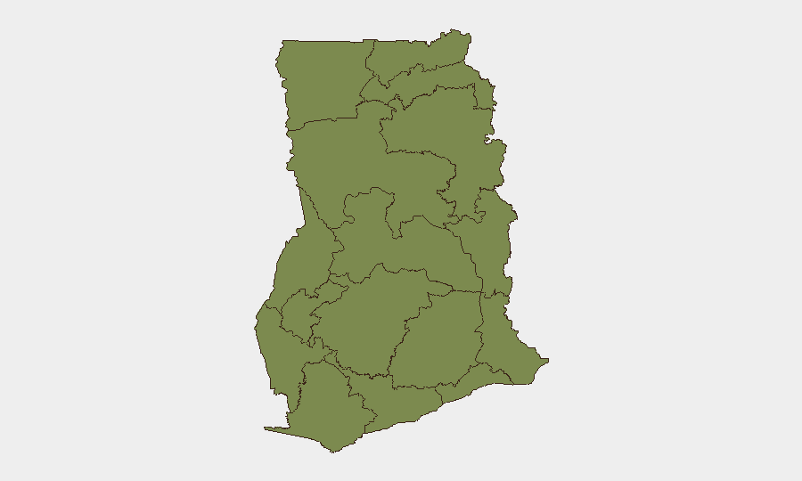
Greater Accra Region (risk score 34) dominates Ghana's threat profile, driven by the 30 June flood disaster, high urban density, informal settlement vulnerability, and ongoing petty-to-organized crime including cybercrime networks. Bono East Region (15.9) ranks second but with substantially lower absolute risk; the gap reflects Accra's concentration of national population, economic activity, international presence, and infrastructure exposure. Remaining ten regions cluster at 4–4.7, indicating dispersed, low-level baseline risk. For duty-of-care purposes, Accra remains the primary focus; infrastructure damage and displacement may persist for weeks.
How GeoBit Would Assist
Corporate security and risk teams operating in Ghana would deploy AOI Monitoring & Early Warning to track flood recovery timelines and secondary safety risks (disease, civil unrest) in Accra; GIS & Spatial Analysis to map flood-affected zones and route personnel around closed infrastructure; and OSINT fusion (X/Twitter, Telegram, local news feeds) to monitor organized crime developments in Ashanti and cyber-fraud targeting of foreign nationals. Routing & Network Analysis would enable real-time alternative journey planning around Accra's disrupted transport corridors.
7-Day Outlook
Immediate priority is flood cleanup, infrastructure repair, and disease-outbreak prevention in Greater Accra; travel disruptions and supply-chain delays likely to persist 7–14 days. No evidence of civil disorder or security-force breakdown; law-enforcement capacity remains active (ongoing organized crime operations). Baseline security posture stable; natural-disaster response trajectory will dominate corporate risk calculus through early July.
Highest-Risk Areas — Ranked
| # | State / Region | Risk |
|---|---|---|
| 1 | Greater Accra Region | 34 |
| 2 | Bono East Region | 15.9 |
| 3 | Oti Region | 4.7 |
| 4 | Volta Region | 4.7 |
| 5 | Upper East Region | 4 |
| 6 | Upper West Region | 4 |
| 7 | Savannah Region | 4 |
| 8 | North East Region | 4 |
| 9 | Northern Region | 4 |
| 10 | Eastern Region | 4 |
| 11 | Bono Region | 4 |
| 12 | Ahafo Region | 4 |
Sources
Previous Daily Briefs
A new Ghana brief is written every day — each with its own risk map and downloadable CSV. Here's the last week; use the calendar to go further back.
📅 Browse every day by calendar →
Highlighted days have a brief. Tap a day for that day's map & analysis, or “csv” for that day's dataset ($5).