Situation Summary
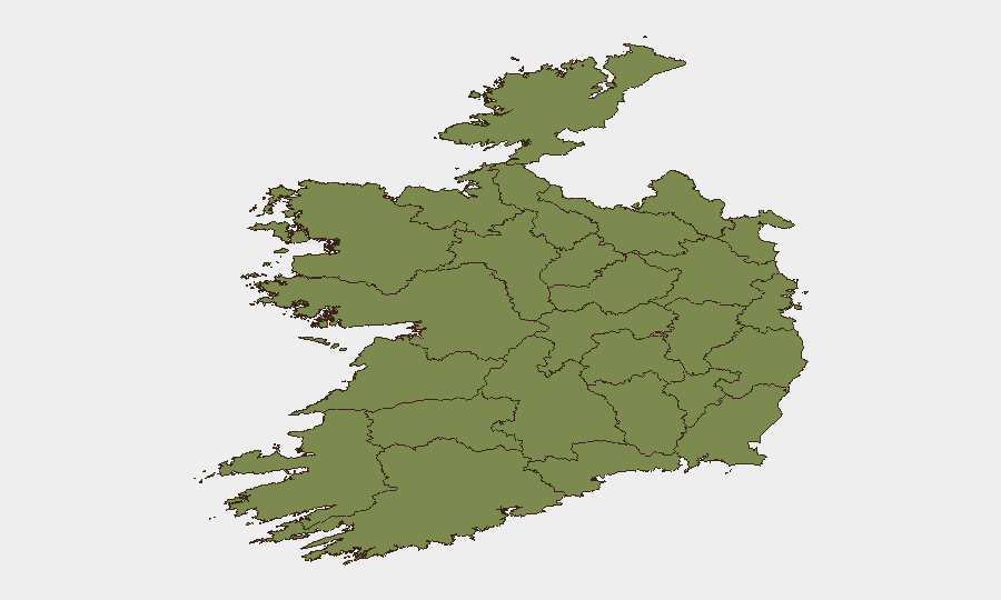
Ireland remains a low-threat environment with a composite security score of 5 (rank #155 globally) and no credible, independently confirmed security incidents reported in the last 24–48 hours. Open-source intelligence confirms Ireland's continued reputation for political stability and low violent crime. Risk concentration is geographically acute: County Dublin accounts for the majority of tracked threat signal activity, with secondary elevation in Tipperary and Carlow, while most other regions remain minimal-risk.
Key Developments
Open-source monitoring across news, government advisories, social media, and X/Twitter feeds did not surface verifiable reports of new security incidents, protests, infrastructure disruptions, or political instability in Ireland during the 24–48-hour window ending 30 June 2026. Current official travel advisories do not flag Ireland for elevated or rapidly changing conditions.
Note on GeoBit Event Signals: The platform's tracked event feed for the period 28–30 June shows repeated signals related to airline operations and stakeholder statements, rather than ground security events in Ireland proper. These appear to reflect international aviation-sector activity and diplomatic/administrative actions rather than domestic Irish territory incidents. Clarification on the geographic nexus of these signals is recommended through platform drill-down.
Highest-Risk Areas
County Dublin dominates the risk profile with a composite score of 31.8—approximately 45% of all tracked signal activity—reflecting its role as Ireland's capital, primary transportation hub, and largest population centre. County Tipperary (21.9) and County Carlow (14.5) show secondary elevation; the drivers warrant further investigation via sector-specific and temporal filtering on the GeoBit platform, as open-source corroboration is limited. All other counties score below 5, consistent with baseline Irish security conditions. The concentration in Dublin is typical of capital-region risk distribution and does not indicate emerging instability; Tipperary and Carlow elevation may reflect data artifacts, minor incidents, or geopolitical signal bleed from adjacent jurisdictions and should be validated through targeted AOI monitoring.
How GeoBit Would Assist
Intel Sweep & OSINT Fusion would enable continuous multi-language, cross-platform monitoring of Irish news, social media, and Telegram to catch emerging incidents, protest activity, or sectarian signals in real time. AOI Monitoring with Early Warning capabilities—particularly for Dublin, Tipperary, and Carlow—would alert security teams to rapid changes in threat posture before they escalate. Routing & Network Analysis supports duty-of-care teams planning travel or asset movements, enabling alternative-route identification if localized disruptions develop. Sector-specific search (terrorism, crime, cyber, weapons) and sentiment analysis would help distinguish signal noise from credible threats.
7-Day Outlook
No imminent escalation is anticipated. Ireland's baseline low-threat environment and absence of corroborated incidents in the last 48 hours suggest stability will persist through the near term. Continued monitoring of County Dublin and secondary-risk areas is warranted as routine due diligence; the next 7 days are unlikely to produce material changes absent external geopolitical shocks or unforeseen incidents.
Highest-Risk Areas — Ranked
| # | State / Region | Risk |
|---|---|---|
| 1 | County Dublin | 31.8 |
| 2 | County Tipperary | 21.9 |
| 3 | County Carlow | 14.5 |
| 4 | County Galway | 4.3 |
| 5 | County Louth | 2.4 |
| 6 | County Cork | 2.4 |
| 7 | County Mayo | 1.8 |
| 8 | County Sligo | 1.8 |
| 9 | County Clare | 1.8 |
| 10 | County Limerick | 1.8 |
| 11 | County Donegal | 1.8 |
| 12 | County Leitrim | 1.8 |
Sources
Previous Daily Briefs
A new Ireland brief is written every day — each with its own risk map and downloadable CSV. Here's the last week; use the calendar to go further back.
📅 Browse every day by calendar →
Highlighted days have a brief. Tap a day for that day's map & analysis, or “csv” for that day's dataset ($5).