Situation Summary
Bosnia and Herzegovina remains a moderate-risk environment with a composite threat score of 2.7 (global rank #73). No discrete security incidents, civil unrest, infrastructure failures, or acute conflict events have been documented in the last 24–48 hours across verified open-source channels. The country's risk profile continues to be driven by baseline endemic threats—petty theft in tourist zones, residual landmine contamination in remote areas, and underlying ethnic and political sensitivities—rather than by active escalation or new incident onset.
Key Developments
No verifiable incident-driven security events meeting time and source-confirmation criteria have been identified in Bosnia and Herzegovina for 13–15 July 2026. Major travel advisories from the U.S., Australia, Spain, and EU sources remain unchanged in the last 24–48 hours, with no new threat alerts, attack warnings, or incident advisories issued. Routine baseline risks (theft in Sarajevo old town, Mostar, and Medjugorje tourist areas; landmine warnings in unmarked rural zones) persist without reported new cases. No political disturbances, armed-crime spikes, or infrastructure disruptions have been flagged by monitoring sources. Standard crime and landmine awareness remain the primary operational security concerns for personnel and assets in country.
Highest-Risk Areas
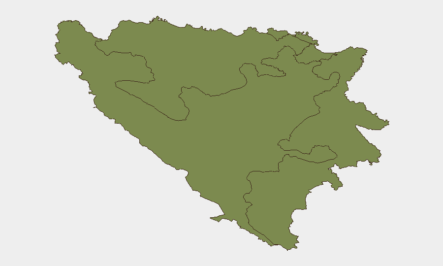
All three administrative entities—the Federation of Bosnia and Herzegovina, Republika Srpska, and Brčko District—carry equal composite risk scores (1.9), reflecting the country's integrated baseline threat landscape rather than geographic concentration. Risk is dispersed across political fragmentation, residual inter-entity sensitivities, and widespread landmine contamination from 1990s conflict legacy. Urban centers (Sarajevo, Mostar) and tourist corridors experience higher petty-crime and theft pressure; remote and rural areas present uncleared ordnance hazards. No single zone shows acute escalation relative to the other two entities at present.
How GeoBit Would Assist
Security teams in Bosnia and Herzegovina should leverage AOI Monitoring & Early Warning to maintain persistent watch on Sarajevo, Mostar, Brčko, and other key personnel/asset locations, with automated alerting for sudden incident onset or civil disturbance. Multi-language OSINT (X, Telegram, local news feeds) and sentiment analysis enable early detection of political or ethnic friction before it translates into street-level security events. Routing & Network Analysis supports safe journey planning for staff in areas with theft or landmine risk, identifying secure corridors and avoiding high-incident zones during transit.
7-Day Outlook
No acute triggers for deterioration are visible in the near term. The country is expected to remain in its current moderate-risk, incident-sparse posture through late July, with seasonal tourism and ordinary crime as the dominant operational factors. Duty-of-care teams should maintain standard baseline precautions (theft awareness, landmine avoidance in unmarked areas, cultural sensitivity around entity boundaries) without expectation of incident escalation.
Highest-Risk Areas — Ranked
| # | State / Region | Risk |
|---|---|---|
| 1 | Federation of Bosnia and Herzegovina | 1.9 |
| 2 | Republika Srpska | 1.9 |
| 3 | Brčko District | 1.9 |
Sources
Previous Daily Briefs
A new Bosnia and Herzegovina brief is written every day — each with its own risk map and downloadable CSV. Here's the last week; use the calendar to go further back.
📅 Browse every day by calendar →
Highlighted days have a brief. Tap a day for that day's map & analysis, or “csv” for that day's dataset ($5).
Atlas — our AI intelligence desk — emails them this snapshot personally. Nothing else, no list.