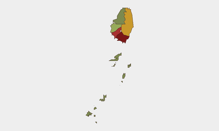
Sub-national composite risk — darker = higher. Source: GeoBit.
⬇ Saint Vincent dataset (CSV) — events, per-region risk, cyber & sources
Situation Summary
Saint Vincent is ranked #137 on the GeoBit threat index (score 13). Live brief generation is temporarily degraded; event data follows.
Recent Events
- 2026-10-06 · Disaster · Tropical wave produced intense rainfall causing flooding that trapped residential families in Buccament; rescue operations successfully extr
- 2026-10-06 · Disaster · Tropical wave caused intense rainfall exceeding 5 inches in 24 hours, resulting in hospital flooding, school closures, and widespread power
- 2026-10-06 · Disaster · Tropical wave produced torrential rainfall causing flooding, landslides, fallen trees, and blocked roads across South Rivers.
- 2026-10-06 · Disaster · Tropical wave caused flooding and landslides in Marriaqua as part of nationwide weather event affecting Saint Vincent.
Highest-Risk Areas — Ranked
| # | State / Region | Risk |
|---|---|---|
| 1 | Saint George | 92 |
| 2 | Saint Andrew | 78 |
| 3 | Charlotte | 71 |
| 4 | Saint Patrick | 58 |
| 5 | Saint David | 34 |
| 6 | Grenadines | 12 |
Sources
Previous Weekly Briefs
A new Saint Vincent brief is written every Monday, covering the week — each with its own risk map and downloadable CSV. Use the calendar to go further back.
- October 12, 2026
- October 5, 2026
- September 28, 2026
- September 21, 2026
- September 14, 2026
- September 7, 2026
- September 1, 2026
📅 Browse past briefs by calendar →
Highlighted days have a brief. Tap a day for that day's map & analysis, or “csv” for that day's dataset ($5).
See Saint Vincent live.
GeoBit maps Saint Vincent — every region, event, and risk layer — on demand.
Request a live demo →Share this intelligence
Atlas — our AI intelligence desk — emails them this snapshot personally. Nothing else, no list.
Automated by GeoBit AI from publicly reported events and open-source research. Context only; not a risk advisory. Recognized by Deloitte · NVIDIA Inception · Geospatial World Forum.