Situation Summary
Antigua and Barbuda remains in a stable security period as of 27 July 2026, with no acute incidents reported in the preceding 24–48 hours. The broader territorial picture reflects endemic violent crime concentrated in urban Antigua, particularly in St. John's and surrounding communities, with fatal shootings and armed robbery documented throughout July but outside the immediate reporting window. Risk remains localized and manageable for corporate operations, though Antigua's composite sub-national score (72) significantly outpaces Barbuda (18) and Redonda (8), indicating sustained disparity in crime distribution.
Key Developments
- No confirmed acute security events in the 24–48 hours ending 27 July 2026 from open-source monitoring, police aggregation, and social media surveillance.
- National cybersecurity policy initiative (25 July 2026) — Government announced plans to establish a national Computer Incident Response Team, reflecting institutional investment in ICT-sector resilience but not an immediate operational threat.
- Persistent criminal-victimization reporting (22 July 2026, outside strict 24-hour window) — Antigua residents continue to file complaints regarding home-intrusion attempts and perceived delays in police response; this represents structural vulnerability rather than a new acute incident.
- July crime pattern (context: 13–23 July) — Three fatal shootings and one armed-robbery-linked vehicle incident documented across Freeman's Village, Potters Village, Villa community, and Pares Main Road, all in Antigua; incidents have subsided in the last 48 hours but reflect ongoing urban violence.
Highest-Risk Areas
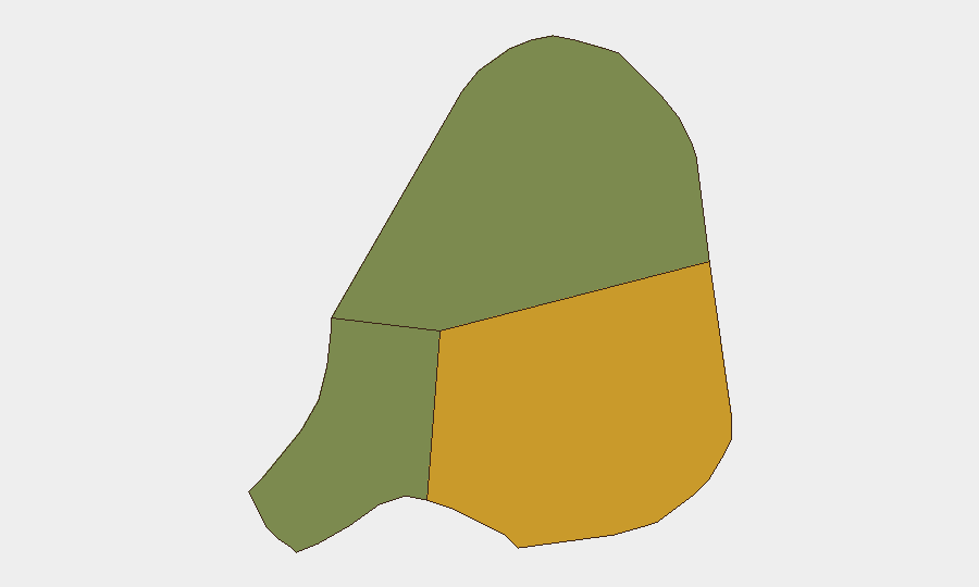
Antigua dominates the territorial risk profile (score 72), driven by concentrated violent crime in and around St. John's, Freeman's Village, Potters Village, and the Villa community. These neighborhoods experience recurring fatal shootings and armed robbery, likely linked to narcotics distribution networks and gang activity. Barbuda (score 18) and Redonda (score 8) remain significantly lower-risk, suggesting that corporate and residential security concerns should prioritize Antigua-based operations and transit corridors. The 54-point differential between Antigua and Barbuda reflects Antigua's role as the economic and population center and the concentration of organized-crime activity in that island.
How GeoBit Would Assist
Security and risk teams operating in Antigua and Barbuda should deploy AOI Monitoring & Early Warning to establish persistent watch on highest-risk neighborhoods in St. John's and surrounding communities, with real-time alerting for new violent incidents or police activity. OSINT fusion (X/Twitter, Telegram, local news aggregation, and police bulletin monitoring) enables continuous detection of emerging crime patterns and gang-related signals before they escalate to direct corporate impact. Routing & Network Analysis supports duty-of-care travel planning by identifying safer transit corridors and alternative routes around known high-crime areas and active incident zones.
7-Day Outlook
Near-term trajectory remains stable with no indicators of acute escalation. Seasonal patterns and ongoing police interdiction activity in narcotics distribution suggest that violent crime will likely remain concentrated in identified urban neighborhoods rather than diffusing into commercial or tourist sectors. Corporate security teams should maintain current vigilance posture and monitor police response to July incidents; no policy, weather, political, or economic triggers forecast material change in the 7–14 day horizon.
Highest-Risk Areas — Ranked
| # | State / Region | Risk |
|---|---|---|
| 1 | Antigua | 72 |
| 2 | Barbuda | 18 |
| 3 | Redonda | 8 |
Previous Daily Briefs
A new Antigua and Barbuda brief is written every day — each with its own risk map and downloadable CSV. Here's the last week; use the calendar to go further back.
📅 Browse every day by calendar →
Highlighted days have a brief. Tap a day for that day's map & analysis, or “csv” for that day's dataset ($5).
Atlas — our AI intelligence desk — emails them this snapshot personally. Nothing else, no list.