Situation Summary
Azerbaijan remains a low-to-moderate threat environment (global rank #144, composite score 6) with stable baseline security conditions across most urban and commercial centers. The primary persistent risk drivers are landmine contamination in recently liberated territories, border-area sensitivities with Armenia, and occasional civil-society friction with state authorities. No acute security incidents meeting multi-source verification standards have been reported in the last 24–48 hours.
Key Developments
Open-source reporting and web research for 5–7 July 2026 have not surfaced any clearly verifiable, time-stamped security, conflict, or civil-unrest incidents meeting independent corroboration standards. Event signals logged by GeoBit for 6 July 2026 (public statements, media investigations, and journalist-related actions) lack sufficient detail and independent confirmation to constitute actionable security briefing items. Users monitoring Azerbaijan are advised to treat the current period as baseline-risk steady-state rather than an active incident window.
Highest-Risk Areas
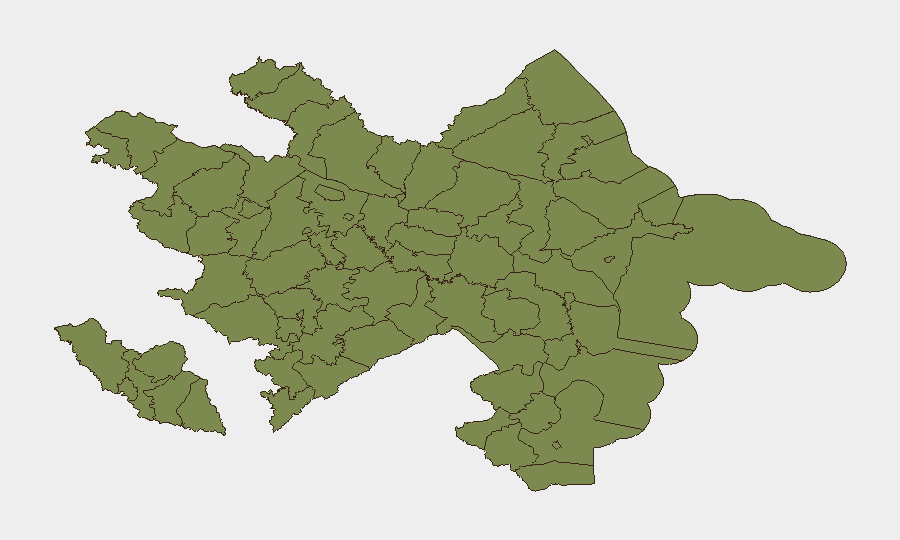
Ujar District, located in the northwest near the Armenian border, carries significantly elevated composite risk (31.5) compared to all other sub-national regions and warrants priority monitoring by duty-of-care teams with personnel or assets in that area. The remaining tracked regions (Sadarak, Qazakh, Sharur, Tovuz, and others) cluster at risk score 1.5, reflecting lower but persistent hazards—primarily unexploded ordnance (UXO) and landmines in post-conflict recovery zones, plus routine border-area operational sensitivities. The Nakhchivan Autonomous Republic's isolated geography and historical dispute dynamics also merit baseline awareness, though current incident reporting is minimal.
How GeoBit Would Assist
Security teams should deploy AOI (Area-of-Interest) Monitoring & Early Warning on Ujar District and border crossing zones to capture emerging incidents in real time. Conflict & Military mapping, OSINT fusion (X/Twitter, Telegram, multi-language sources), and entity extraction enable rapid detection of cross-border activity, military movement, or civilian unrest before mainstream reporting. Routing & Network Analysis supports contingency planning for personnel transiting high-risk districts, while satellite & imagery analysis can corroborate landmine-clearance progress and infrastructure threats in liberated territories.
7-Day Outlook
Near-term trajectory remains stable, with no indicators of imminent escalation. Continued attention to border-area sensitivities and UXO hazards should remain standard in risk assessments; any shifts in Armenian-Azerbaijani diplomatic posture or cross-border incidents will likely surface first in social-media and official-statement channels that GeoBit's OSINT infrastructure monitors continuously.
Highest-Risk Areas — Ranked
| # | State / Region | Risk |
|---|---|---|
| 1 | Ujar District | 31.5 |
| 2 | Sadarak District | 1.5 |
| 3 | Qazakh District | 1.5 |
| 4 | Sharur District | 1.5 |
| 5 | Yevlakh District | 1.5 |
| 6 | Kangarli District | 1.5 |
| 7 | Nakhchivan Autonomous Republic | 1.5 |
| 8 | Aghstafa District | 1.5 |
| 9 | Tovuz District | 1.5 |
| 10 | Qakh District | 1.5 |
| 11 | Shaki | 1.5 |
| 12 | Sheki District | 1.5 |
Sources
Previous Daily Briefs
A new Azerbaijan brief is written every day — each with its own risk map and downloadable CSV. Here's the last week; use the calendar to go further back.
📅 Browse every day by calendar →
Highlighted days have a brief. Tap a day for that day's map & analysis, or “csv” for that day's dataset ($5).
Atlas — our AI intelligence desk — emails them this snapshot personally. Nothing else, no list.