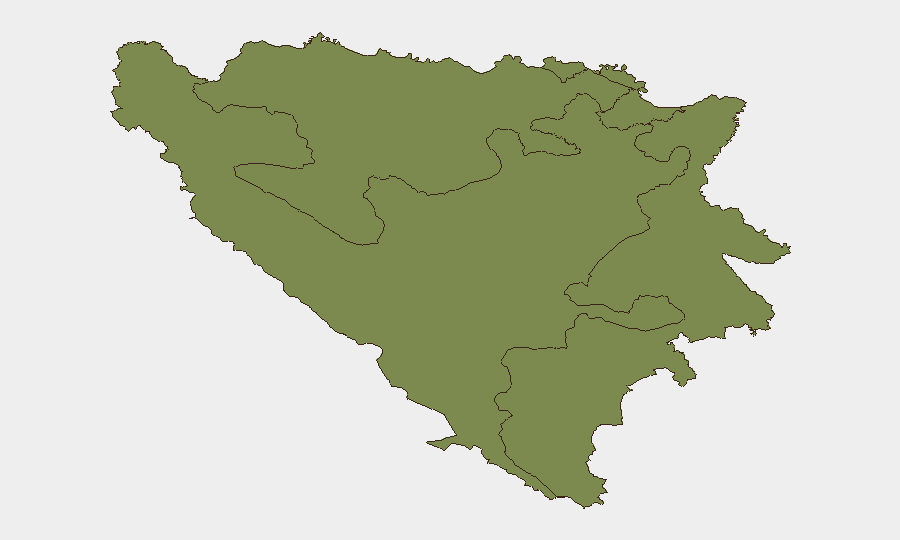
Situation Summary
Bosnia and Herzegovina remains a low-to-moderate threat environment (global rank #134, composite score 5) with no active large-scale political violence or organized unrest. The past 24–48 hours have registered isolated security incidents—a grenade discovery, three separate traffic accidents, and routine border/drug enforcement—distributed across multiple cantons with no pattern suggesting coordinated activity or destabilization. The threat profile remains localized and episodic rather than systemic.
Key Developments
- Kiseljak, Federation of BiH – 19 July, afternoon: Hand grenade discovered in front of RTV Herceg-Bosne office; Federal Civil Protection EOD team safely removed device with no injuries; motivation and origin under investigation.
- Saračica, near Banja Luka, Republika Srpska – 19 July: Fatal traffic accident killed one 45-year-old male and injured two others; case assigned to District Public Prosecutor's Office.
- M-17 corridor, Potoci (north of Mostar), Herzegovina-Neretva Canton – 19 July, ~14:30 local time: Three-vehicle collision disrupted traffic on key north–south road; injuries reported; main artery remains operational.
- Dolac Malta, Sarajevo – 19 July, late afternoon: Single-vehicle traffic accident with one injury; standard police and emergency response.
- Bosanska Gradiška, BiH–Croatia border – 18–19 July: Border Police arrested Turkish national for smuggling six foreign nationals; part of ongoing irregular-migration enforcement; reflects persistent cross-border crime activity on EU frontier.
- Sarajevo – 18–19 July: Local male suspect (b. 1987) detained for unauthorized production and trafficking of narcotics under Federation Criminal Code Article 238(1); routine drug-enforcement operation.
Highest-Risk Areas
Federation of Bosnia and Herzegovina, Republika Srpska, and Brčko District are rated equally at risk score 1.9, reflecting distributed low-level vulnerability across the three administrative entities rather than concentration in a single flashpoint. The grenade incident in Kiseljak (Federation) and border-smuggling activity in Bosanska Gradiška (Republika Srpska) illustrate that threat vectors—weapons discovery, trafficking, narcotics—are present but geographically dispersed and operationally constrained. No sub-national area shows signs of escalating tension or organized instability; incidents remain tactical and localized.
How GeoBit Would Assist
Security teams with personnel or assets in Bosnia and Herzegovina should employ AOI Monitoring & Early Warning on Sarajevo, Banja Luka, Mostar, and border crossing points to detect emerging patterns in weapons, trafficking, or violence beyond routine incident reporting. OSINT fusion & corroboration (Telegram, local news, police bulletins, entity extraction) enables real-time correlation of dispersed incidents—such as grenade discoveries and narcotics enforcement—to identify whether isolated events signal organized activity or remain episodic. Routing & Network Analysis supports duty-of-care teams in selecting safer travel corridors on the M-17 and other main roads during periods of accident clustering.
7-Day Outlook
No escalation indicators are present; the outlook remains stable with continued low-level baseline criminal activity (smuggling, drugs, traffic) and isolated incidents. Monitoring should remain routine and geographic in focus, with particular attention to border areas and media-related sites given the Kiseljak grenade proximity to a broadcast facility. Standard travel and operational security posture is appropriate.
Highest-Risk Areas — Ranked
| # | State / Region | Risk |
|---|---|---|
| 1 | Federation of Bosnia and Herzegovina | 1.9 |
| 2 | Republika Srpska | 1.9 |
| 3 | Brčko District | 1.9 |
Previous Daily Briefs
A new Bosnia and Herzegovina brief is written every day — each with its own risk map and downloadable CSV. Here's the last week; use the calendar to go further back.
📅 Browse every day by calendar →
Highlighted days have a brief. Tap a day for that day's map & analysis, or “csv” for that day's dataset ($5).
Atlas — our AI intelligence desk — emails them this snapshot personally. Nothing else, no list.