Situation Summary
Botswana remains a low-threat environment with a composite threat score of 4 globally, though regional variation exists. The country is currently experiencing active wildfire events across multiple districts, with at least five confirmed incidents under tracking. Political-level tensions involving the African Union and domestic institutions have been signaled in late July but lack operational security implications for corporate assets at present.
Key Developments
- Wildfire Activity (Multiple Districts, Recent): Five active wildfire events have been recorded across Botswana (Event IDs 1029681, 1029754, 1029683, 1029528, 1029620, 1029596). Specific locations and containment status require live satellite confirmation; risk to transport corridors and air quality in affected zones should be assessed via real-time GIS analysis.
- African Union / Domestic Political Signal (2026-07-29): A public statement involving the African Union and Royal Court, coupled with a Botswana disapproval action, was recorded on 29 July. Operational impact on corporate operations is currently unassessed; monitor for any escalation affecting government stability or border operations.
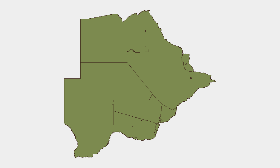
- South-East District Elevated Risk (Ongoing): South-East District carries a composite risk score of 31.3, significantly higher than all other administrative areas. The drivers of this elevation (crime, intercommunal tension, border proximity, environmental stress, or wildfire concentration) are not yet detailed; targeted sub-national intelligence is required.
Note on Last-24–48-Hour Event Verification: Live web research conducted on this brief's preparation date did not return time-stamped Botswana security incidents clearly falling within the previous 48 hours beyond the wildfire tracking and the 29 July political signal. Older June–early-July items (land disputes, party unrest, trials) appear in regional news feeds but cannot be reliably classified as last-48-hour developments without fresh timestamp confirmation.
Highest-Risk Areas
South-East District is the sole administrative area with material elevated risk (31.3), warranting focused duty-of-care and asset-protection measures. All other tracked districts score 1.3 or below, reflecting a relatively even baseline threat profile across the country. The South-East elevation may reflect wildfire concentration, proximity to the South African border, or concentrated crime patterns; corporate teams with personnel or operations in that district should request targeted sub-national intelligence briefing and consider temporary operational adjustments pending clarification of the risk drivers.
How GeoBit Would Assist
AOI Monitoring & Early Warning with persistent satellite and OSINT watch on South-East District and active wildfire zones would provide real-time alerts on fire progression, road/corridor closures, and any civil unrest. Conflict & Political Risk Assessment via event feeds, X/Telegram OSINT, and sentiment analysis would detect escalation in the African Union–domestic political tension and flag any spillover into business operations or border instability. Routing & Network Analysis would enable alternative journey planning for personnel and supply chains around active wildfires and South-East District volatility.
7-Day Outlook
Wildfire activity is likely to persist or intensify given seasonal conditions; air quality and transport disruption remain the primary operational risks. The political signal from 29 July requires watch-and-wait posture; absent further escalation, it is unlikely to create near-term security impact. Corporate teams should maintain heightened situational awareness in South-East District and request real-time satellite/OSINT refresh on fire status and political developments by early August.
Highest-Risk Areas — Ranked
| # | State / Region | Risk |
|---|---|---|
| 1 | South-East District | 31.3 |
| 2 | Chobe District | 1.3 |
| 3 | North-West District | 1.3 |
| 4 | Sowa Town | 1.3 |
| 5 | Central District | 1.3 |
| 6 | North-East District | 1.3 |
| 7 | Francistown | 1.3 |
| 8 | Ghanzi District | 1.3 |
| 9 | Selebi Phikwe | 1.3 |
| 10 | Kgalagadi District | 1.3 |
| 11 | Kweneng District | 1.3 |
| 12 | Southern District | 1.3 |
Sources
Previous Daily Briefs
A new Botswana brief is written every day — each with its own risk map and downloadable CSV. Here's the last week; use the calendar to go further back.
📅 Browse every day by calendar →
Highlighted days have a brief. Tap a day for that day's map & analysis, or “csv” for that day's dataset ($5).
Atlas — our AI intelligence desk — emails them this snapshot personally. Nothing else, no list.