Situation Summary
Rwanda remains at global risk rank #104 with a composite threat score of 12, reflecting a relatively stable security environment compared to regional peers. Kigali City is the primary concentration of risk (32.7), driven by urban density and density-dependent threats, while provincial areas show significantly lower composite scores (2.7 each). No verified security incidents, civil unrest, or infrastructure disruptions were detected in the last 24–48 hours; routine police training and government announcements dominate recent reporting.
Key Developments
- 2026-07-28 · Kigali / National: Disapproval signal recorded (Rwanda vs Rwanda), nature and scope unverified by secondary sources; warrants monitoring for domestic political or administrative friction.
- 2026-07-26 · Kigali / National: Disapproval recorded between Kinshasa and Kigali, with concurrent demand signal from Congolese actors and DRC formal disapproval; signals regional diplomatic tension, likely connected to DRC security spillover rather than Rwandan domestic instability.
- Recent · National: Two documented Marburg virus disease events in Rwanda; no current outbreak declaration in open sources, but epidemiological monitoring recommended given cross-border mobility.
- Routine Activity (Non-Incident): Police and security training events continue; no disruption to transport, commerce, or government function reported in the last 48 hours.
Highest-Risk Areas
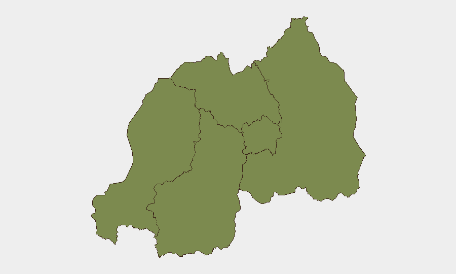
Kigali City accounts for 92% of Rwanda's composite risk score, reflecting typical urban concentration of political activity, commercial targets, and inter-community friction. Western, Northern, Southern, and Eastern Provinces each register 2.7 (approx. 2% national risk each), indicating distributed low-level baseline exposure rather than localized flashpoints. The Kigali–DRC border corridor remains relevant as a secondary concern due to DRC military activity in South Kivu (unverified M23/MRDP-Twirwaneho claims near Nguli, Fizi Territory), though no incursion or direct spillover into Rwanda was reported in the current window.
How GeoBit Would Assist
Intel Sweep & OSINT Fusion can track Kigali political and administrative messaging (X/Telegram, official channels, media) to disambiguate the 2026-07-28 "disapprove" signal and assess whether domestic friction poses near-term risk to expatriate communities or commercial operations. AOI Monitoring & Early Warning on Kigali City and the DRC border (Western/Northern Provinces) would provide persistent alerting if diplomatic tension with Kinshasa escalates or if DRC military activity approaches the border. Environmental & Health monitoring and corroboration across multiple sources will clarify the scope and trajectory of Marburg virus events, enabling duty-of-care teams to brief staff and adjust operational protocols.
7-Day Outlook
No imminent security degradation is forecast over the next seven days based on available reporting. Diplomatic friction with the DRC is likely to remain rhetorical absent major military escalation in South Kivu. Health monitoring for Marburg should continue in parallel with routine epidemiological channels; outbreak trajectory will become clearer by early August if case clustering accelerates.
Highest-Risk Areas — Ranked
| # | State / Region | Risk |
|---|---|---|
| 1 | Kigali City | 32.7 |
| 2 | Western Province | 2.7 |
| 3 | Northern Province | 2.7 |
| 4 | Southern Province | 2.7 |
| 5 | Eastern Province | 2.7 |
Sources
Previous Daily Briefs
A new Rwanda brief is written every day — each with its own risk map and downloadable CSV. Here's the last week; use the calendar to go further back.
📅 Browse every day by calendar →
Highlighted days have a brief. Tap a day for that day's map & analysis, or “csv” for that day's dataset ($5).
Atlas — our AI intelligence desk — emails them this snapshot personally. Nothing else, no list.