Situation Summary
The United States maintains a composite threat ranking of #61 globally with 4,637 tracked events, reflecting a moderately elevated but manageable security environment. Sub-national risk concentration is acute: California (34.6), Texas (23.6), and New York (20) drive the national picture, accounting for disproportionate event density. The last 48 hours show concurrent critical infrastructure vulnerability (water systems cyber incidents in California's Central Valley) and environmental stress (27 uncontained large wildfires across multiple regions with national preparedness elevated to Level 3). Trajectory indicates compounding near-term pressures on critical infrastructure resilience and emergency-response capacity in already high-risk states.
Key Developments
- Bakersfield & Central Valley, California – cyber incidents targeting water infrastructure (June 20, 2026). Multiple cybersecurity incidents reported against local agencies and water system organizations over the prior 48 hours; state senator issued alert urging law enforcement and cybersecurity authority coordination. Water system disruption risk directly affects regional business continuity and public health.
- Nationwide wildfire escalation – National Preparedness Level raised to 3 (June 20, 2026). National Interagency Fire Center reported 74 new fires and 27 uncontained large fires across Northwest, Great Basin, Southwest, and Rocky Mountain regions; ~5,000 personnel deployed. Air quality, transportation corridors, and power infrastructure exposure across multiple states.
- Small Arms Combat incident – Police vs. Residents (June 19, 2026). Event signal flagged but location and casualty details require further corroboration; law enforcement investigation initiated (June 21 signal). Suggests localized armed engagement with potential community impact.
- Gunman-related Small Arms Combat event (June 19, 2026). Discrete incident flagged in event data; lacks geographic specificity in current reporting. Investigation status and casualty count unknown; typical precursor to regional law-enforcement response escalation.
- Public Statement – United States vs. Intelligence Community (June 19, 2026). High-level institutional tension indicated by public statement; suggests policy or operational discord. Potential impact on intelligence-sharing clarity and threat-assessment coordination during active incident period.
- Physical Assault event – Houston area (June 19, 2026). Incident involving Chamber organization in Houston; no casualty or motive detail available in current signal. Houston area (Texas) already ranks #2 sub-nationally in composite risk.
Highest-Risk Areas
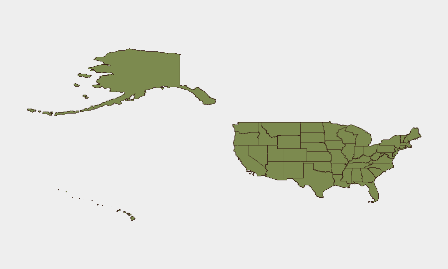
California's risk score of 34.6 reflects sustained cyber-threat activity, critical infrastructure vulnerability (water systems now confirmed under attack), and exposure to wildfire cascades affecting major population and economic centers. Texas (23.6) and New York (20) show persistent armed-violence event density and institutional stress. Kansas (19) and Illinois (11) represent secondary concentrations requiring continued monitoring. The clustering of cyber incidents, armed-violence signals, and environmental emergencies in California and Texas suggests compounding operational stress on state and local emergency management, increasing the risk of delayed response capacity and secondary incidents.
How GeoBit Would Assist
Security teams should deploy Area-of-Interest Monitoring & Early Warning on Bakersfield water-system operators and Texas/California emergency-management channels (X, Telegram, agency feeds) to track incident evolution and cascading disruptions in real time. Intel Sweep and OSINT fusion across law-enforcement public statements, court filings, and regional news feeds would corroborate the armed-combat signals and clarify geographic concentration. Network & Actor Analysis applied to known threat groups targeting U.S. water infrastructure would contextualize the Central Valley cyber incidents and assess potential coordination or copycat activity.
7-Day Outlook
Wildfire resource depletion and water-system cyber incidents are likely to persist or expand over the next 7 days, particularly if firefighting personnel remain heavily committed in the West. Armed-violence event frequency may spike in California and Texas if emergency services are stretched thin or if underlying tensions (evident in the public institutional statements) escalate. Continued elevation of critical infrastructure cyber-threat risk is probable absent rapid remediation of water-system vulnerabilities.
Highest-Risk Areas — Ranked
| # | State / Region | Risk |
|---|---|---|
| 1 | California | 34.6 |
| 2 | Texas | 23.6 |
| 3 | New York | 20 |
| 4 | Kansas | 19 |
| 5 | Illinois | 11 |
| 6 | Missouri | 10.7 |
| 7 | Ohio | 10.2 |
| 8 | Florida | 9.9 |
| 9 | Oregon | 9.8 |
| 10 | Pennsylvania | 9.1 |
| 11 | Massachusetts | 8.7 |
| 12 | Kentucky | 8.6 |
Sources
Previous Daily Briefs
A new United States brief is written every day — each with its own risk map and downloadable CSV. Here's the last week; use the calendar to go further back.
📅 Browse every day by calendar →
Highlighted days have a brief. Tap a day for that day's map & analysis, or “csv” for that day's dataset ($5).