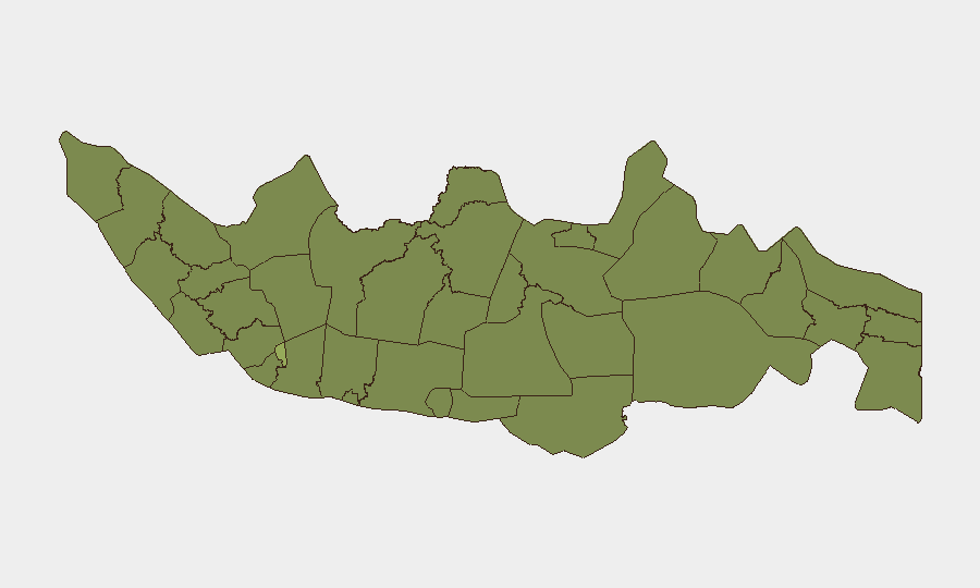
Situation Summary
Indonesia's composite threat score (35; rank #54 globally) reflects a multi-layered security environment marked by regional tensions, civil unrest, and persistent law-enforcement challenges across dispersed high-risk zones. Recent diplomatic friction with neighboring states (Vietnam, Philippines, Malaysia—all flagged in 24-hour event signals), combined with rising social protests over domestic policy and elevated criminal violence in Central Kalimantan and Papua, have created a complex risk landscape. Military and police responses indicate authorities are adopting a more assertive posture on aviation security, border operations, and conflict de-escalation, signaling awareness of potential escalation pathways.
Key Developments
- Katingan Regency, Central Kalimantan (July 25): Three police officers killed in a violent attack by drug suspects during an eradication operation in Tumbang Kalemei Village; three of five suspects named and a criminal investigation launched, underlining operational hazards for law enforcement and potential for retaliatory security sweeps.
- Wamena, Jayawijaya Regency, Papua (July 25): Papua Regional Police issued public appeal for peaceful resolution of mounting social disputes, citing risk of inter-tribal escalation—indicating real concern over grassroots conflict potential in a already volatile region.
- Sarmi Regency offshore, Papua (July 24–25): Two shallow-magnitude earthquakes (3.5 and 4.3 ML) recorded 50–57 km offshore, affecting local seismic hazard perception and remote infrastructure stability in an already logistically constrained zone.
- Papua high-risk airstrips (July 25): Indonesian military announced deployment of forces to guard designated airstrips, citing elevated aviation security threats and signaling tightened control of remote transport corridors critical to supply chains and evacuation routes.
- Habema Joint Operations area, Papua (July 25): Joint-forces helicopter evacuation of American pilot's body confirmed, indicating active security incidents involving foreign nationals and ongoing joint-command operations in highlands.
- Multi-city demonstrations (July 25): Pro- and anti-government protests over national free-meal program intensified across multiple regions, reflecting broader political tension and potential for localized street disruption.
- Regional diplomatic friction (July 23): Coordinated "disapprove" signals from Vietnam, Philippines, and Malaysia toward Indonesia (and reciprocal Indonesian statements) suggest heightened inter-state rhetoric—tracked across multiple dyads in 24-hour event feed.
Highest-Risk Areas
Jakarta (54.6) remains the dominant driver of national risk, reflecting concentrated political authority, large foreign-national presence, and critical infrastructure density. Papua (26.3) and Central Java (34.3) anchor the second tier: Papua combines remote geography, limited law enforcement capacity, inter-tribal tensions, seismic hazard, and foreign-national exposure; Central Java shows persistent organized-crime and social unrest signals. West and East Java, plus Banten (ring regions around Jakarta), elevate the greater-metro risk envelope. North Sumatra, Aceh, and Riau reflect border-region and maritime-security drivers.
How GeoBit Would Assist
Security teams would deploy AOI Monitoring & Early Warning on Jakarta, Papua's airstrips, and Katingan Regency to catch escalation signals in real time. OSINT fusion (X, Telegram, local news, police statements) across multi-language feeds enables tracking of protest dynamics, inter-tribal tension narratives, and law-enforcement posture shifts. GIS & Spatial Analysis plus Maritime & Aviation Tracking would support route-risk assessment for personnel and logistics moving through Papua and maritime zones affected by regional diplomatic friction.
7-Day Outlook
Expect continued police/military hardening of high-risk zones (Papua airstrips, Central Kalimantan) and localized friction around protest movements in urban centers. Diplomatic rhetoric with neighbors is unlikely to crystallize into kinetic escalation in the near term, but will sustain operational friction. Seismic activity in Papua may compound logistics delays and push more personnel reliance on guarded airstrips.
Highest-Risk Areas — Ranked
| # | State / Region | Risk |
|---|---|---|
| 1 | Special capital Region of Jakarta | 54.6 |
| 2 | Central Java | 34.3 |
| 3 | North Sumatra | 33.2 |
| 4 | East Java | 30.1 |
| 5 | West Java | 29.8 |
| 6 | Banten | 29.2 |
| 7 | Central Kalimantan | 26.8 |
| 8 | Papua | 26.3 |
| 9 | Riau | 25.4 |
| 10 | Aceh | 25.2 |
| 11 | North Sulawesi | 25.2 |
| 12 | West Kalimantan | 25.2 |
Sources
Previous Daily Briefs
A new Indonesia brief is written every day — each with its own risk map and downloadable CSV. Here's the last week; use the calendar to go further back.
📅 Browse every day by calendar →
Highlighted days have a brief. Tap a day for that day's map & analysis, or “csv” for that day's dataset ($5).
Atlas — our AI intelligence desk — emails them this snapshot personally. Nothing else, no list.