Situation Summary
Ireland remains a low-risk environment globally (rank #136, composite score 6) with no verified security incidents reported in the last 24–48 hours. The threat landscape is heavily concentrated in County Dublin, which accounts for the majority of the national composite risk score (31.8 of 87 tracked events). Overall trajectory is stable, with routine civil and commercial activity dominating the event signal; no indicators of imminent escalation in conflict, terrorism, civil unrest, or major crime are visible in current open-source reporting.
Key Developments
- Airline-related administrative and regulatory activity (nationwide, 2026-07-01 to 2026-07-03). A cluster of public statements, appeals, rejections, and cross-jurisdictional demands involving an airline operator have generated 11 tracked signals since 1 July. Events include tribunal demands, South Korean investigation initiation, and US dispute rejection. No public safety, operational disruption, or travel advisory has been associated with these signals to date; activity appears confined to corporate/regulatory channels.
- No verified on-ground security incidents (all counties, last 48h). Web and social-media monitoring detected no corroborated reports of criminal activity, protests, transport disruptions, infrastructure failures, or political violence in Ireland during 1–3 July 2026.
- Northern Ireland budget deadlock (policy context, UK; not current incident). Stormont ministers remain in political disagreement over the current financial year budget, with UK Treasury involvement. This is a governance constraint rather than an acute security or unrest incident, but may affect service delivery to cross-border business operations.
Highest-Risk Areas
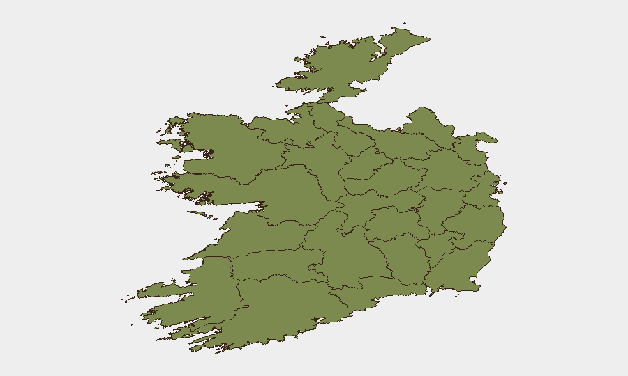
County Dublin drives national risk with a score of 31.8—more than double the next-ranked area (Tipperary, 15.4). This concentration reflects Dublin's role as Ireland's capital, largest urban center, and primary hub for commerce, transport, and governance; event clustering in major cities is typical and does not indicate acute crisis. County Tipperary's secondary ranking (15.4) remains modest in absolute terms. All other counties cluster between 1.0–2.1, indicating negligible residual risk. The Dublin-centric distribution is typical of developed, urbanized nations and does not signal geographic instability; duty-of-care teams should apply standard urban security protocols in Dublin and maintain baseline awareness elsewhere.
How GeoBit Would Assist
Security teams operating in Ireland should task AOI Monitoring & Early Warning on Dublin's main business, transport, and government districts to detect protest activity, transport disruptions, or unusual clustering in real time. Intel Sweep and multi-source OSINT fusion (Garda press releases, local media, X/Twitter journalist feeds, and transport operators) would provide continuous verification of incidents and cross-confirm rumor vs. fact—critical for duty-of-care reporting when sparse headline coverage exists. Risk & Threat Assessment paired with Network & Actor Analysis can map the airline regulatory dispute to identify whether secondary reputational, supply-chain, or operational spillover may affect company stakeholders or assets in Ireland.
7-Day Outlook
No material change in overall risk posture is forecast for the next 7 days. The airline regulatory cluster will likely continue in administrative/legal channels without operational impact on general travel or security. Baseline commercial and civil activity is expected to continue at normal levels across all counties. Teams should monitor for unexpected escalation in the Dublin-based disputes or any emergence of coordinated disruption, but current indicators do not warrant heightened alerting thresholds.
Highest-Risk Areas — Ranked
| # | State / Region | Risk |
|---|---|---|
| 1 | County Dublin | 31.8 |
| 2 | County Tipperary | 15.4 |
| 3 | County Clare | 2.1 |
| 4 | County Offaly | 2 |
| 5 | County Mayo | 1.8 |
| 6 | County Sligo | 1.8 |
| 7 | County Galway | 1.8 |
| 8 | County Limerick | 1.8 |
| 9 | County Donegal | 1.8 |
| 10 | County Leitrim | 1.8 |
| 11 | County Roscommon | 1.8 |
| 12 | County Cavan | 1.8 |
Sources
Previous Daily Briefs
A new Ireland brief is written every day — each with its own risk map and downloadable CSV. Here's the last week; use the calendar to go further back.
📅 Browse every day by calendar →
Highlighted days have a brief. Tap a day for that day's map & analysis, or “csv” for that day's dataset ($5).