Situation Summary
Mauritius remains a stable, low-threat jurisdiction with a composite threat score of 11 globally and no tracked security incidents in the past 24–48 hours. Open-source monitoring confirms no civil unrest, political instability, infrastructure disruptions, or acute travel-risk changes affecting the country. Risk concentration is geographic rather than systemic, with Port Louis (the capital and commercial hub) accounting for the majority of national threat exposure.
Key Developments
- No verified security incidents reported in Mauritius in the last 24–48 hours. Web, social-media, and regional advisory monitoring across Port Louis, Curepipe, Vacoas–Phoenix, and other major urban centers has not surfaced new protests, civil unrest, political crises, infrastructure failures, or crime spikes meeting reporting thresholds.
- No changes to official travel advice. Major foreign ministries have issued no new travel advisories, restrictions, or advisory-level upgrades for Mauritius in the monitored window.
- Routine security environment maintained. Petty crime remains the primary civilian security concern; no large-scale criminal incidents targeting tourists or expatriates have been reported in the last 24–48 hours.
- Historical event notation (for context only). Platform signals flagged a 2026-07-23 event designated "Conventional Military Force" and "Investigate" status involving Mauritius and Barranquilla; no confirmation of operational impact on Mauritian territory or civilian security has been established in open-source reporting.
- No terrorism-related alerts. No terrorism-linked incidents or threat advisories specific to Mauritius have surfaced in regional or global threat briefs in the last 24–48 hours.
Highest-Risk Areas
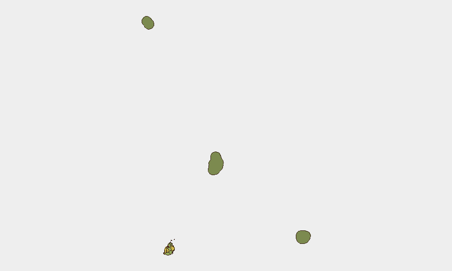
Port Louis dominates the risk profile (score 92), reflecting its status as the national capital, primary port, and commercial center—concentrating government, financial, and logistics infrastructure. Plaines Wilhems (68) and Black River (68) register secondary risk, likely reflecting population density, transient populations, and urban-crime baselines. The outer islands (Rodrigues, 22; Saint Brandon, 8; Agaléga, 5) and rural districts present minimal tracked threat. For organizations with personnel or assets in Mauritius, operational security focus should center on Port Louis and secondary urban districts; routine crime awareness and standard duty-of-care protocols remain appropriate for all locations.
How GeoBit Would Assist
Intel Sweep and OSINT fusion (web, social media, regional feeds, multi-language search) provide continuous early warning of emerging civil unrest, political instability, or acute crime spikes; AOI Monitoring & Early Warning with persistent geographic watches on Port Louis and secondary districts enables real-time alerting if conditions change. Risk & Threat Assessment and Entity/Network Analysis support background checks on local partners, logistics providers, and personnel movements. Routing & Network Analysis assists in alternative travel planning should localized disruptions occur.
7-Day Outlook
No acute escalation drivers are evident in the near term. Mauritius is forecast to maintain its current stable, low-threat baseline over the next seven days absent external shocks (regional instability, maritime incidents, or sudden political events). Routine monitoring of Port Louis and secondary urban areas is recommended for organizations with ongoing presence.
Highest-Risk Areas — Ranked
| # | State / Region | Risk |
|---|---|---|
| 1 | Port Louis | 92 |
| 2 | Plaines Wilhems | 68 |
| 3 | Black River | 65 |
| 4 | Flacq | 62 |
| 5 | Grand Port | 58 |
| 6 | Moka | 52 |
| 7 | Savanne | 48 |
| 8 | Pamplemousses | 45 |
| 9 | Rivière du Rempart District | 38 |
| 10 | Rodrigues | 22 |
| 11 | Saint Brandon | 8 |
| 12 | Agaléga | 5 |
Previous Daily Briefs
A new Mauritius brief is written every day — each with its own risk map and downloadable CSV. Here's the last week; use the calendar to go further back.
📅 Browse every day by calendar →
Highlighted days have a brief. Tap a day for that day's map & analysis, or “csv” for that day's dataset ($5).
Atlas — our AI intelligence desk — emails them this snapshot personally. Nothing else, no list.