Situation Summary
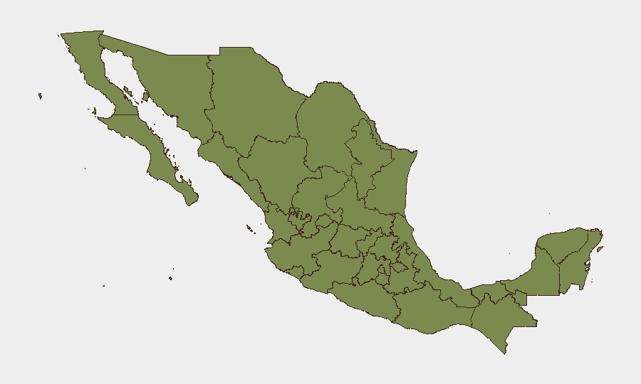
Mexico's composite threat score of 59 places it at global rank #37, with 919 tracked events reflecting persistent civil unrest, organized-crime activity, and localized security incidents across multiple regions. The past 24–48 hours have seen a notable spike in transportation disruptions (airport blockades in Oaxaca), armed confrontations (Tijuana eastern neighborhoods), highway crime (Tecate corridor), and border-proximate violence (Chiapas and Jalisco), indicating sustained operational tempo across both urban and rural zones. San Luis Potosí's disproportionately high risk score (32.9) signals a critical concentration of threat activity in that state; meanwhile, Baja California, Jalisco, Chiapas, and Mexico City remain persistent flashpoints. The trajectory suggests continued volatility through the near term, driven by cartel operations, protest cycles, and intermittent security-force responses.
Key Developments
- Oaxaca City (24–25 June): Teachers' union and allied groups blocked vehicle access roads to Oaxaca International Airport on 24 June, forcing pedestrian transit and causing 1+ hour delays. Sit-ins and street marches continued 24–25 June, affecting central avenues and public transport. UK FCDO updated travel advice on 24 June warning of airport disruption.
- Tijuana, Baja California (night of 24 June): Armed confrontations between presumed cartel factions and security forces reported in eastern neighborhoods (La Mesa, Mariano Matamoros). Burning vehicles used as roadblocks on key arterials; residents advised to avoid affected zones pending police/National Guard clearance.
- Tecate corridor, Baja California (24 June night): Attempted cargo truck hijacking and gunfire reported on the Tijuana–Tecate highway; temporary closure and increased state police patrols deployed. Local drivers' associations warned members to avoid night transit on 24–25 June.
- Lake Chapala south–southwest zone, Jalisco (24 June): Police and National Guard checkpoints and patrols deployed after reports of armed men and possible kidnapping attempts on rural roads. Local sources reported residents avoiding night travel on secondary roads due to security operations and roadside robbery risk.
- Northern Jalisco municipalities (24 June): Armed convoys observed near Colotlán and Mezquitic; informal community warnings issued and some school closures reported. Coordinated state police patrols deployed in response.
- Federal Highway 199, Chiapas (24 June): Temporary roadblocks and armed robberies reported on segments between Rancho Nuevo and Chancalá junction (Palenque area). Transport cooperatives advised members to postpone night trips on 24–25 June.
- Mexico–Guatemala border zone, Chiapas (24 June): Clashes between presumed smuggling groups near border communities; shots fired and burned vehicles reported. Increased military and National Guard presence noted; residents warned of checkpoints.
Highest-Risk Areas
San Luis Potosí dominates the risk landscape with a composite score of 32.9—nearly three times higher than the second-ranked state—indicating concentrated cartel activity, organized-crime infrastructure, or localized state-capacity breakdown. Chihuahua (10.9), Sonora (8.1), and Mexico City (8.1) form a second tier of concern, driven by border-proximate trafficking, armed-group operations, and urban crime respectively. The 24–48 hour event cluster in Oaxaca (protests), Baja California (armed confrontations), Jalisco (armed sightings), and Chiapas (highway crime and border violence) confirms that risk is not static; operational hot zones shift based on cartel movements, protest cycles, and security-force deployments. Geographic proximity to the US border and Guatemala border amplifies threat vectors in northern and southern states.
How GeoBit Would Assist
Security teams monitoring Mexico would deploy AOI Monitoring & Early Warning on San Luis Potosí, Baja California, Jalisco, and Chiapas to detect emerging incidents and alert duty-of-care teams in real time. Routing & Network Analysis capabilities enable alternative-route and journey-planning recommendations for personnel and supply chains avoiding high-risk corridors (e.g., Tecate highway, Federal Highway 199). OSINT fusion & corroboration across X, local news, and regional media accelerates verification of armed incidents and protest activity, reducing response time for security operations.
7-Day Outlook
Oaxaca protest activity is expected to persist through the week, with intermittent airport and city-center disruptions. Armed group operations in Baja California, Jalisco, and Chiapas will likely continue at current tempo, driven by competition over trafficking routes and territory. Heightened vigilance and contingency planning are warranted for personnel and assets in San Luis Potosí, border states, and southern Chiapas through 1 July.
Highest-Risk Areas — Ranked
| # | State / Region | Risk |
|---|---|---|
| 1 | San Luis Potosí | 32.9 |
| 2 | Chihuahua | 10.9 |
| 3 | Sonora | 8.1 |
| 4 | Mexico City | 8.1 |
| 5 | Guerrero | 7.6 |
| 6 | Baja California | 6.3 |
| 7 | Tlaxcala | 6.1 |
| 8 | Chiapas | 6.1 |
| 9 | Sinaloa | 6 |
| 10 | State of Mexico | 5.8 |
| 11 | Puebla | 5.7 |
| 12 | Aguascalientes | 5.2 |
Previous Daily Briefs
A new Mexico brief is written every day — each with its own risk map and downloadable CSV. Here's the last week; use the calendar to go further back.
📅 Browse every day by calendar →
Highlighted days have a brief. Tap a day for that day's map & analysis, or “csv” for that day's dataset ($5).