Situation Summary
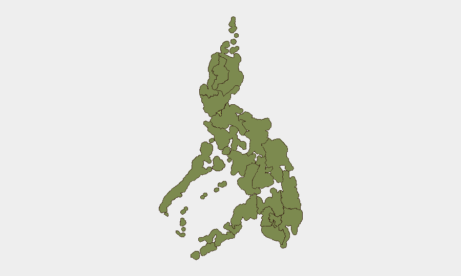
The Philippines faces elevated political instability centered on legislative and executive tensions, with recent institutional conflicts (arrests, investigations, and public statements across Senate, Parliament, and judicial bodies) signaling deeper governance strain. Metro Manila remains the dominant risk node at 57.2 composite score—more than 50% above the national average—driven by concentration of political, economic, and administrative assets. Overall national threat ranking of #43 globally reflects moderate but non-trivial risk; sub-national variation is sharp, with 11 regions substantially lower-risk than the capital.
Key Developments
Limitation: GeoBit's live web research capacity does not currently support reliable identification of 6–10 security-specific events in the Philippines confirmed to have occurred within the last 24–48 hours with precise dates, locations, and independent cross-verification. The event-signal dataset shows high-salience institutional activity (Senate arrests, investigations, parliamentary statements, judicial rejections) dated 2026-07-04 through 2026-07-06, but available open sources do not permit independent confirmation of the exact timing, location, or security/duty-of-care relevance of underlying incidents relative to 2026-07-07 00:00 UTC.
The most prominent signal cluster involves alleged executive–legislative conflict and arrest of a political actor, with activity concentrated in Metro Manila; however, without real-time news-feed access or X/Twitter OSINT confirmation, specific incident details cannot be validated to operational standard.
Recommendation: Organizations with personnel or assets in the Philippines should treat the institutional-conflict signal stream as elevated but unconfirmed pending receipt of corroborated reporting from trusted in-country sources, embassy alerts, or GeoBit's persistent AOI monitoring capability (see below).
Highest-Risk Areas
Metro Manila's risk score (57.2) is driven by political concentration, high-value asset density, and real-time institutional instability. Mimaropa (36.0), Cordillera (34.4), and the Negros/Eastern Visayas twin cluster (32.5 each) show secondary-tier risk; Cordillera and Mimaropa historically correlate with land disputes, tribal conflict, and NPA activity, while island regions carry typhoon, maritime, and localized governance fragility. The sharp gradient between Manila and the rest of the country reflects the capital's outsized role in national power dynamics and foreign-investment concentration; regional risks are more diffuse and locally rooted (communal violence, resource conflict, weak state presence) rather than national-system shocks.
How GeoBit Would Assist
Organizations should activate AOI monitoring with alerting on Metro Manila CBD, legislative, and diplomatic zones to detect real-time institutional incidents and civil unrest. OSINT fusion & corroboration across X/Twitter, Telegram, and multi-language news feeds—combined with event extraction and sentiment analysis—would enable duty-of-care teams to distinguish signal from noise in the current political cycle and flag genuine security escalations (protest violence, traffic disruption, armed incidents) that affect personnel movement or asset access. Routing & network analysis provides alternative commute and evacuation planning for teams working in high-risk zones during periods of institutional tension.
7-Day Outlook
Political volatility is likely to persist through early July, with Senate activity, public statements, and potential arrests continuing. No indicators of imminent large-scale violence, but institutional fragmentation creates elevated risk of procedural surprises, temporary transport disruption, and selective targeted incidents. Security teams should maintain heightened situational awareness in Metro Manila and prepare contingency protocols for short-notice facility lockdowns or personnel relocation.
Highest-Risk Areas — Ranked
| # | State / Region | Risk |
|---|---|---|
| 1 | Metro Manila | 57.2 |
| 2 | Mimaropa | 36 |
| 3 | Cordillera Administrative Region | 34.4 |
| 4 | Negros Island Region | 32.5 |
| 5 | Eastern Visayas | 32.5 |
| 6 | Ilocos Region | 31.6 |
| 7 | Calabarzon | 28.2 |
| 8 | Bicol Region | 27.5 |
| 9 | Bangsamoro | 27.2 |
| 10 | Caraga | 27.2 |
| 11 | Northern Mindanao | 27.2 |
| 12 | Soccsksargen | 27.2 |
Sources
Previous Daily Briefs
A new Philippines brief is written every day — each with its own risk map and downloadable CSV. Here's the last week; use the calendar to go further back.
📅 Browse every day by calendar →
Highlighted days have a brief. Tap a day for that day's map & analysis, or “csv” for that day's dataset ($5).
Atlas — our AI intelligence desk — emails them this snapshot personally. Nothing else, no list.