Situation Summary
Tajikistan remains at a low-to-moderate composite threat level (rank #129 globally; threat score 7), with no discrete security events recorded in the current 24–48-hour window. The threat landscape is heavily concentrated in the capital, Dushanbe, which accounts for the vast majority of tracked activity; peripheral regions show minimal reported incident density. Without confirmed recent events, the security picture appears stable, though the absence of real-time reporting does not exclude localized incidents in remote or under-monitored areas.
Key Developments
No discrete security events have been confirmed in Tajikistan during the past 24–48 hours (June 24–26, 2026).
GeoBit's event-tracking window shows no new incidents. Open-source reporting (news wires, official statements, social media) from the last two days has not yielded corroborated incidents meeting the criteria of location specificity, date confirmation, and multi-source validation. Organizations with personnel or assets in-country should continue standard duty-of-care monitoring but are not facing an acute incident-driven risk adjustment at this moment.
Organizations with long-term presence in Tajikistan are advised to maintain vigilance for the following recurring risk categories (not current incidents, but persistent concerns):
- Border security incidents in remote areas (particularly GBAO and along the Tajik–Afghan frontier), which may not be immediately reported in international media.
- Local administrative or protest activity in Dushanbe, which historically concentrates in the capital's central districts.
- Infrastructure disruptions (power, water, road access) in peripheral regions during winter or after weather events.
Highest-Risk Areas
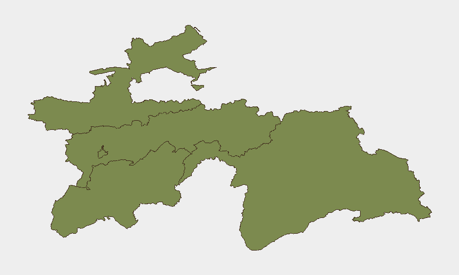
Dushanbe dominates the threat landscape, with a composite sub-national risk score of 31.9—approximately 16 times higher than any other region. All remaining regions (Sughd, Districts of Republican Subordination, Khatlon, and GBAO) score 1.9, indicating minimal recorded incident clustering. The capital's elevated risk reflects concentration of government activity, political decision-making, and international diplomatic presence; any security event affecting the state apparatus or foreign nationals is likely to be reported and tracked. Peripheral regions, despite lower reporting, remain subject to border tensions, informal conflict, and limited state authority, particularly in GBAO. The disparity underscores that Tajikistan's security risk is highly geography-dependent: centralized in Dushanbe for political/institutional threats, and distributed but under-monitored in remote border areas for transnational and insurgent activity.
How GeoBit Would Assist
Teams with duty-of-care responsibility in Tajikistan should leverage AOI Monitoring & Early Warning (persistent watch on Dushanbe and key border checkpoints) paired with Intel Sweep and multi-language OSINT (Tajik, Russian, and English sources) to detect incidents before they escalate or affect operations. X/Twitter & Telegram OSINT and sentiment & temporal analysis enable rapid detection of localized unrest or infrastructure disruptions in areas with limited traditional media coverage. For journey planning and contingency routing, Routing & Network Analysis can model alternative travel corridors if primary roads are disrupted.
7-Day Outlook
No acute threat indicators point to a significant security shift in the next week. Dushanbe is likely to remain the focus of monitoring; summer weather typically reduces incident frequency in remote areas. Organizations should maintain standard protocols and update contact lists with local authorities and international organizations (embassies, UN presence) to ensure rapid information flow in case of unexpected events.
Highest-Risk Areas — Ranked
| # | State / Region | Risk |
|---|---|---|
| 1 | Dushanbe | 31.9 |
| 2 | Sughd Region | 1.9 |
| 3 | Districts of Republican Subordination | 1.9 |
| 4 | Khatlon Region | 1.9 |
| 5 | Gorno-Badakhshan Autonomous Region | 1.9 |
Sources
Previous Daily Briefs
A new Tajikistan brief is written every day — each with its own risk map and downloadable CSV. Here's the last week; use the calendar to go further back.
📅 Browse every day by calendar →
Highlighted days have a brief. Tap a day for that day's map & analysis, or “csv” for that day's dataset ($5).